Throughout history, remarkable civilisations have flourished, such as the Mesopotamians, who thrived between the Tigris and Euphrates rivers in what is now Iraq. Their legacy endures in the architecture and art they created, leaving a vivid historical tapestry. Among their greatest achievements are the ziggurats of Ur, which have weathered centuries of upheaval and decay and now stand as captivating archaeological treasures awaiting deeper exploration. Studying a Mesopotamian ziggurat in Iraq with traditional fieldwork systems such as manual measurements, ground surveys, and measured drawings aids the process; cutting-edge tools like drone mapping help researchers move beyond traditional fieldwork methods and understand changes from multiple perspectives, using software to process captured images, create a 3D model, and produce digital measurements.
The Great Ziggurat of Ur
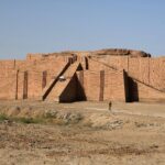
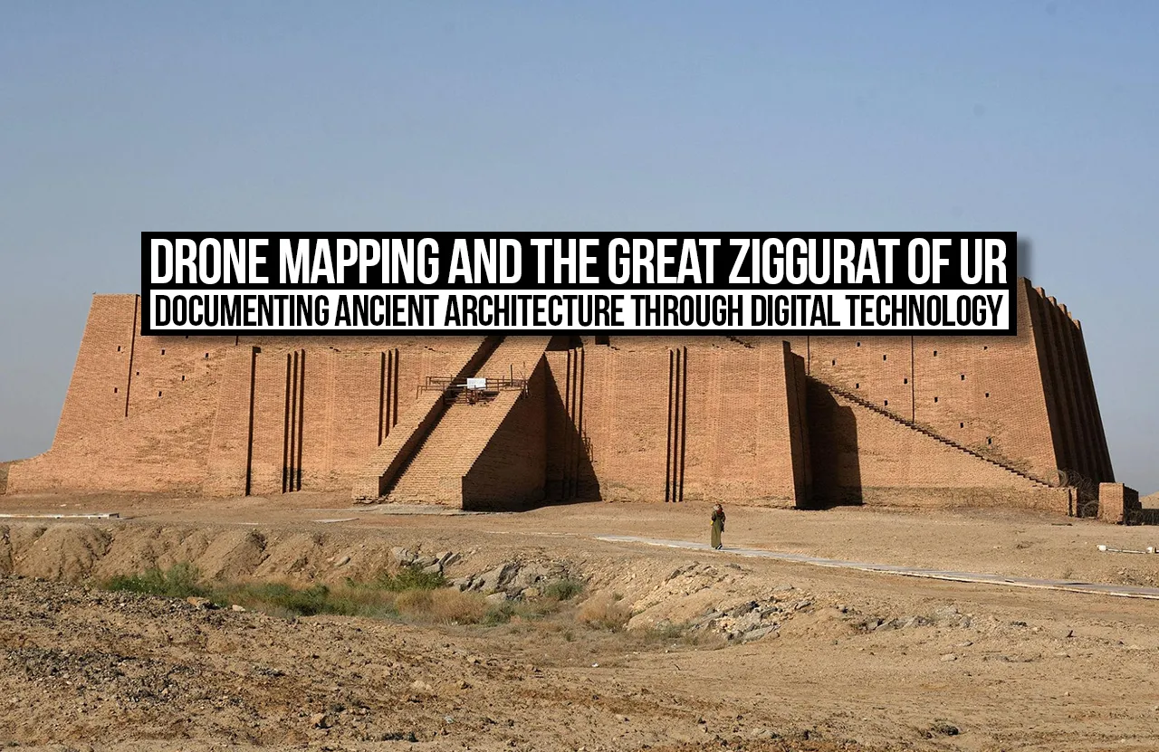
Built during the reign of King Ur-Nammu in the 21st century BCE, the Ziggurat of Ur was dedicated to Nanna, the moon god associated with the city. As one of Mesopotamia’s most recognised surviving ancient monuments, only parts of the structure remain intact. Over centuries, rain, wind, and changing environmental conditions have contributed to the deterioration of the Great Ziggurat of Ur. Its mud-brick core is particularly vulnerable to erosion. Documenting the monument’s surviving surfaces and geometry can therefore provide a valuable reference for researchers assessing its condition and planning future conservation. Documenting its surviving form is therefore important for understanding its architectural features and supporting future conservation.
The 2021 Drone-Mapping Project
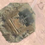
On 8 November 2021, the Lagash Archaeological Project team mapped the Great Ziggurat of Ur at the request of Iraq’s State Board of Antiquities and Heritage (SBAH). The team had first used drone photography at the nearby shrine of E-dub-lal-mah before turning its attention to the ziggurat. The photographs captured at Ur were processed into a detailed three-dimensional model using DroneDeploy. The model was made available for public access and 3D printing, while the digital documentation and original photographs were shared with Iraqi heritage authorities to support conservation efforts.
Digital Documentation and Public Access
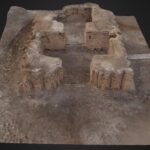
The key outcomes of the drone-mapping project included creating a detailed three-dimensional digital model of the surviving structure, which was shared with Iraq’s State Board of Antiquities and Heritage (SBAH) to support conservation efforts. The model was also made available online, allowing researchers, students and the wider public to explore and study this historic monument digitally. This extended access to the ziggurat beyond the physical archaeological site, making its architectural form available for further research, education and public engagement.
HBIM and Virtual Reconstruction
Beyond digital documentation, drone-derived data also enabled more detailed architectural study through Historic Building Information Modelling (HBIM). In a separate 2021 study, researchers explored integrating photogrammetric data from the Great Ziggurat of Ur with historical information to develop a digital model of the monument. This approach helped researchers examine its geometry, virtually reconstruct missing portions, and compare the model with traditional survey measurements. By combining digital measurements with historical evidence, HBIM offered a more structured way to study the surviving architecture and explore its original form.
Limitations and Conservation
Despite its advantages, drone mapping has limitations in architectural documentation. Aerial photographs may not capture concealed spaces, internal construction or surfaces obstructed by shadows and overhangs. The accuracy of a three-dimensional model also depends on image quality and processing methods, making verification through traditional architectural surveys essential. Nevertheless, digital models can provide valuable records of a historic structure’s geometry, materials and visible condition. For the Great Ziggurat of Ur, such documentation can support studies of its stepped form and surviving mud-brick fabric. These records may also help conservation specialists compare the monument’s condition over time and plan appropriate interventions. Although digital documentation cannot prevent deterioration on its own, it can preserve important architectural information for future research and conservation.
The Great Ziggurat of Ur shows how modern technology can create new opportunities to understand and preserve ancient architecture. Although centuries of deterioration have altered the monument’s original form, its surviving structure still provides valuable evidence of Mesopotamian architectural knowledge, cultural beliefs, and construction practices. Through drone mapping and three-dimensional modelling, researchers can document its visible geometry and create digital records that support architectural study, public access and future conservation. However, these technologies cannot alone reconstruct a monument’s full history or recover everything time has erased. Their effectiveness depends on combining digital documentation with traditional surveying, archaeological evidence and professional interpretation. As historic structures continue to deteriorate due to environmental factors, maintaining accurate records becomes increasingly important. The significance of drone mapping therefore extends beyond the technology itself; it lies in how the information collected can be used to understand, document and protect architectural heritage. By preserving this evidence today, we give future generations a better opportunity to study and appreciate the achievements of past civilisations.
IMAGE SLOTS, CAPTIONS & SOURCES
Place the selected image in each box. Confirm the individual image page for the correct photographer, licence and reuse conditions before submission.
SLOT 01 — THE GREAT ZIGGURAT OF UR
Placement: Introduction / The Great Ziggurat of Ur
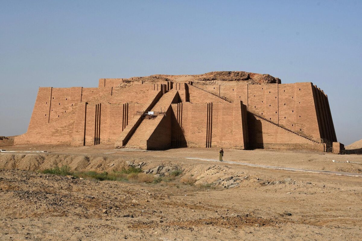
Credit: Use the photographer’s name and licence listed on the specific image page. Choose a photograph of the surviving structure, not a reconstruction.
SLOT 02 — DRONE MAPPING AND PHOTOGRAMMETRY
Placement: The 2021 Drone-Mapping Project
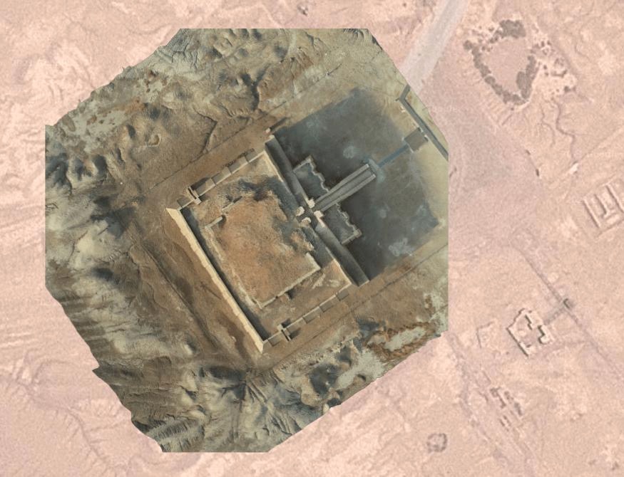
Credit: Lagash Archaeological Project / Paul Zimmerman, subject to the credit and reuse terms for the particular image.
SLOT 03 — THREE-DIMENSIONAL DIGITAL MODEL
Placement: Digital Documentation and Public Access
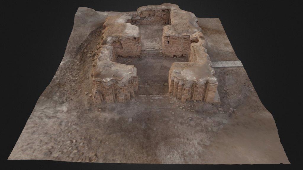
Credit: Paul Zimmerman / Lagash Archaeological Project. Check the model’s licence and attribution requirements before using screenshots or exports.
Research Links:
- Primary project report — The Great Ziggurat of Ur, Lagash Archaeological Project — https://web.sas.upenn.edu/lagash/2021/12/30/the-great-ziggurat-of-ur/
- Academic paper — UAV Structure-from-Motion Photogrammetry and HBIM of the Great Ziggurat of Ur — https://ijs.uobaghdad.edu.iq/index.php/eijs/article/view/3816
- 3D model — Great Ziggurat of Ur, Sketchfab — https://sketchfab.com/3d-models/ziggurat-of-ur-01a917691d344f3d801f67151de6b2f0
- Photograph collection — Great Ziggurat of Ur, Wikimedia Commons — https://commons.wikimedia.org/wiki/Category:Great_Ziggurat_of_Ur