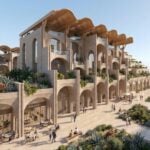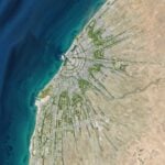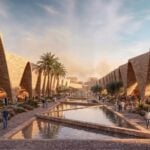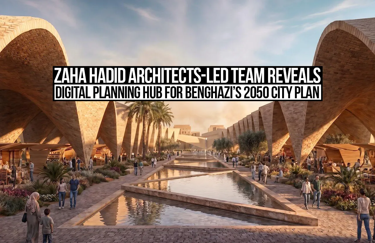
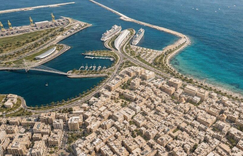
Zaha Hadid Architects, together with A&O TEC, Prior+Partners, Homa, Buro Happold, Systematica and Fichtner, have curated a new planning framework for the port city of Benghazi, Libya, called the “Next Generation City Plan”. Benghazi is a historic city that has grown over time around the Mediterranean Sea, and investors and urban planners see it as a growth opportunity. The Plan integrates identity-defining features with planning techniques so that it connects the city with its original port, historic center, and spreading neighborhoods.
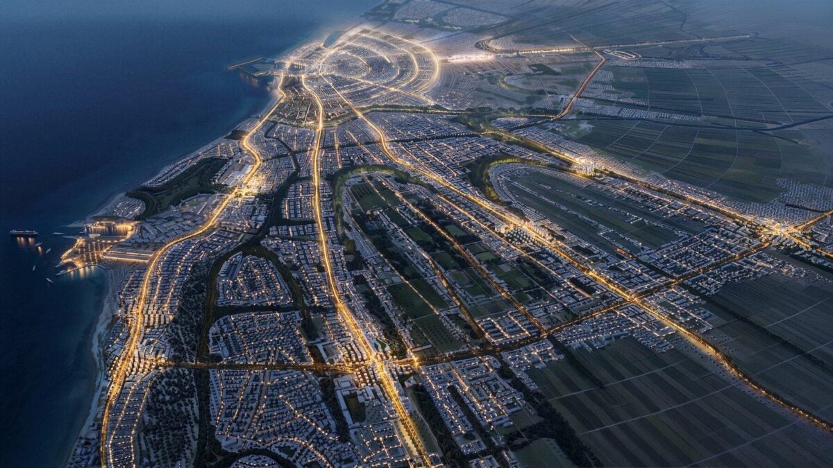
Vision and Spatial Strategy by A&O TEC includes restoration over demolition and connectedness of the city rather than dividing it. It considers the existing collective memory and character of the city and gives solutions that are well integrated and flexible for the future. To connect different parts of the city, an efficient public transport system and pedestrian routes are proposed. The Strategy also includes spaces or districts for employment and knowledge.
Nature zones are integrated into the spaces for better water management and diversified ecology. This will allow urban sprawl with ecological support, and both will grow together.
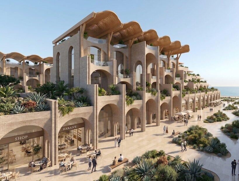
The Digital Planning Hub
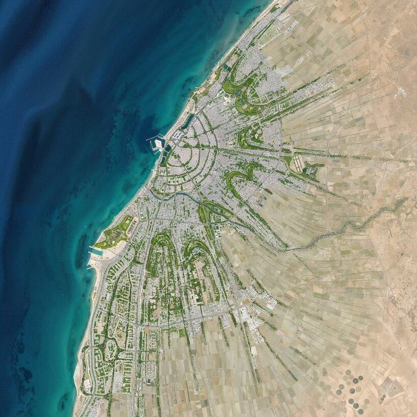
The Digital Planning Hub is the starting point for the Benghazi 2050: Next Generation City Plan. It uses shared evidence to plan the city’s future by being a dynamic digital twin, supporting long-term planning and delivery. It studies and identifies the city’s potential and the causes of its growth and maps it at its core.
The Digital Planning Hub works on the available data and new information on existing urban, socio-economic, environmental, and infrastructural aspects of the metropolitan area. This helps in the development of a Vision to provide a map for sustainable growth and renewal. Spatial Strategy examines the city’s organisation based on this vision for the growth and development of the city.
Key Functions and Datasets
By using the collected information within a shared spatial interface, the platform brings together several crucial urban metrics, such as Geospatial and Physical Models using Geographic Information Systems (GIS) alongside detailed three-dimensional urban models, Demographics and infrastructure networks that use comprehensive population and land-use data, as well as transit and utility infrastructure networks, and Environmental and resilience analyses, active development projects, and prospective planning scenarios.
Collaboration and Stakeholder Engagement
The platform ensures that any new proposals for Benghazi can be properly evaluated within their broader urban context. As the city continues to expand and evolve, Benghazi’s Digital Hub updates its data as it grows, transforming traditional spatial strategies into a living framework that encourages active collaboration among local authorities, community members, designers, planners, and investors.
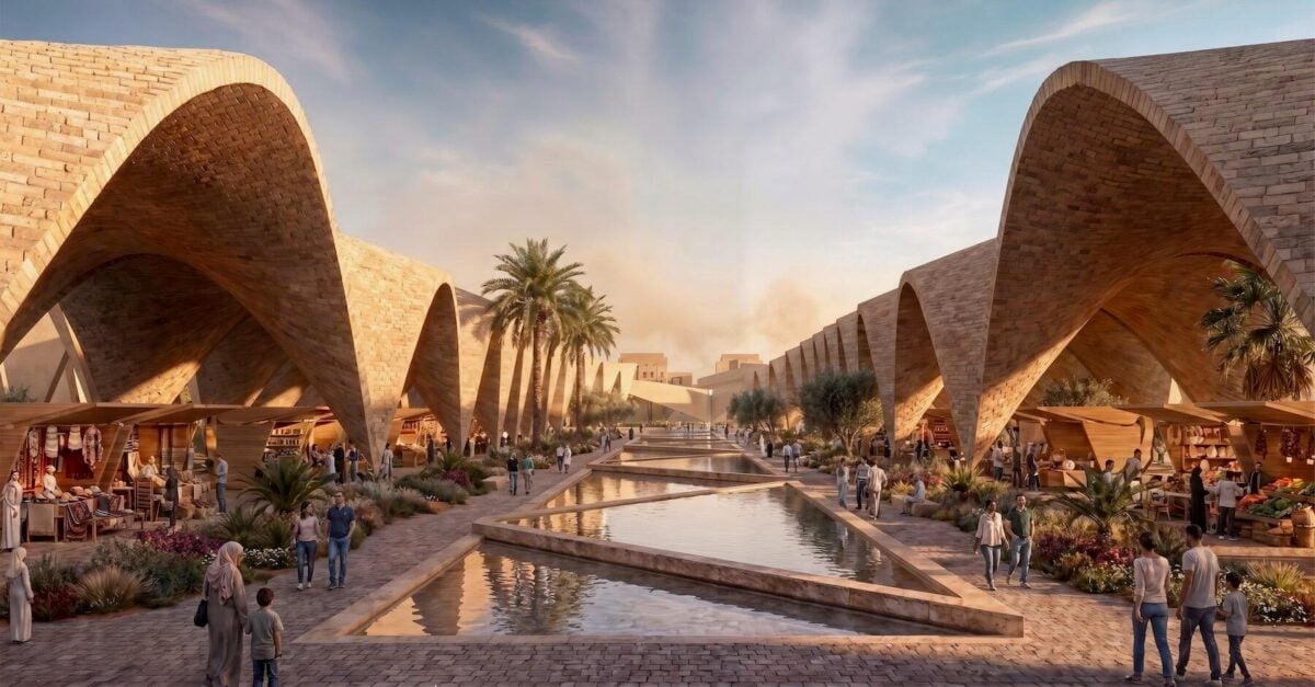
Development and Presentation
Developed through a collaborative consortium, the proposal draws upon decades of international expertise in architecture, masterplanning, engineering, and computational design. By uniting evidence, vision, technology, and delivery, the initiative successfully links Benghazi’s historic identity and future ambitions with the advanced tools required to manage its transformation toward 2050.
References:
Zaha Hadid Architects. (2026, September 16). Benghazi 2050: Vision and digital planning hub. Zaha Hadid Architects.