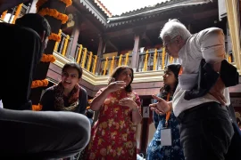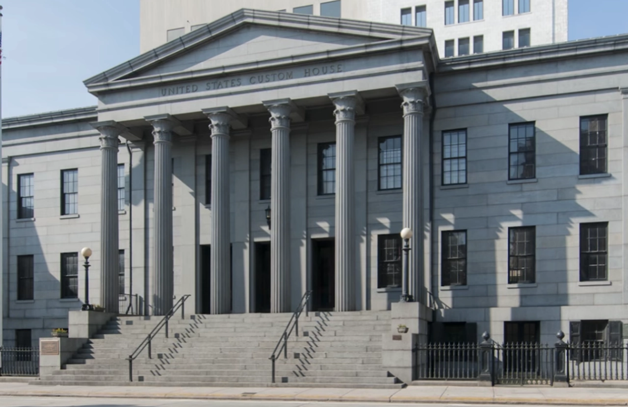
While architecture is often defined in terms of buildings, it also includes other important components that make up the city: interstitial spaces between buildings, including streets, ramps, walls, bridges, and landscapes that allow people and goods to move through. Savannah’s Historic Waterfront: An Architectural and Urban Tour, a YouTube video produced by Urban Traces and hosted by architectural historian Dr. Robin B. Williams, offers viewers a chance to understand a city through these relationships.
Rather than viewing the waterfront as a collection of historic structures, the tour focuses on a unique urban environment shaped by trade, geography, development, and architecture. The video features warehouses, stone stairways, retaining walls, pedestrian bridges, and the network of spaces known as Factors Walk, showing how Savannah’s waterfront evolved in response to riverfront trade and the elevation difference between the city and the Savannah River.
For architects and urban designers, the tour’s appeal lies in its approach to observation. The tour teaches people to see the city not only in terms of façades and monuments but also in terms of what it’s made of, what level it is at, what kind of circulation it has, and where its historical remnants are located. More than an informative session, the video offers an opportunity to reconsider how we experience the built environment.
Tracing the Waterfront: From Civic Landmarks to Industrial Infrastructure
Beginning in Savannah’s upper city, the video highlights prominent civic and commercial structures to establish the waterfront’s historical importance as a center of commerce. The route continues downward through the warehouses, pathways, historic stairs, passages beneath the bluff, and the natural landscape, highlighting the waterfront along River Street.
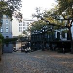
The video covers the waterfront by examining the United Waterfront District, which includes warehouses, the stone wall, the bowstring bridge, ballast stone pavement, Emmet Park, and the Old Harbor Light. This route brings together buildings and spaces that would otherwise be seen independently and shows how they contribute to the larger urban fabric.
Movement through the city is a key feature that makes the video interesting. Unlike the conventional approach, where viewers see the waterfront architecture from a stationary point of view, this video lets viewers understand the waterfront as a series of spaces. Moving along the waterfront architecture makes the connection between the upper city and the river clearer and helps viewers better appreciate Savannah’s architectural structure.
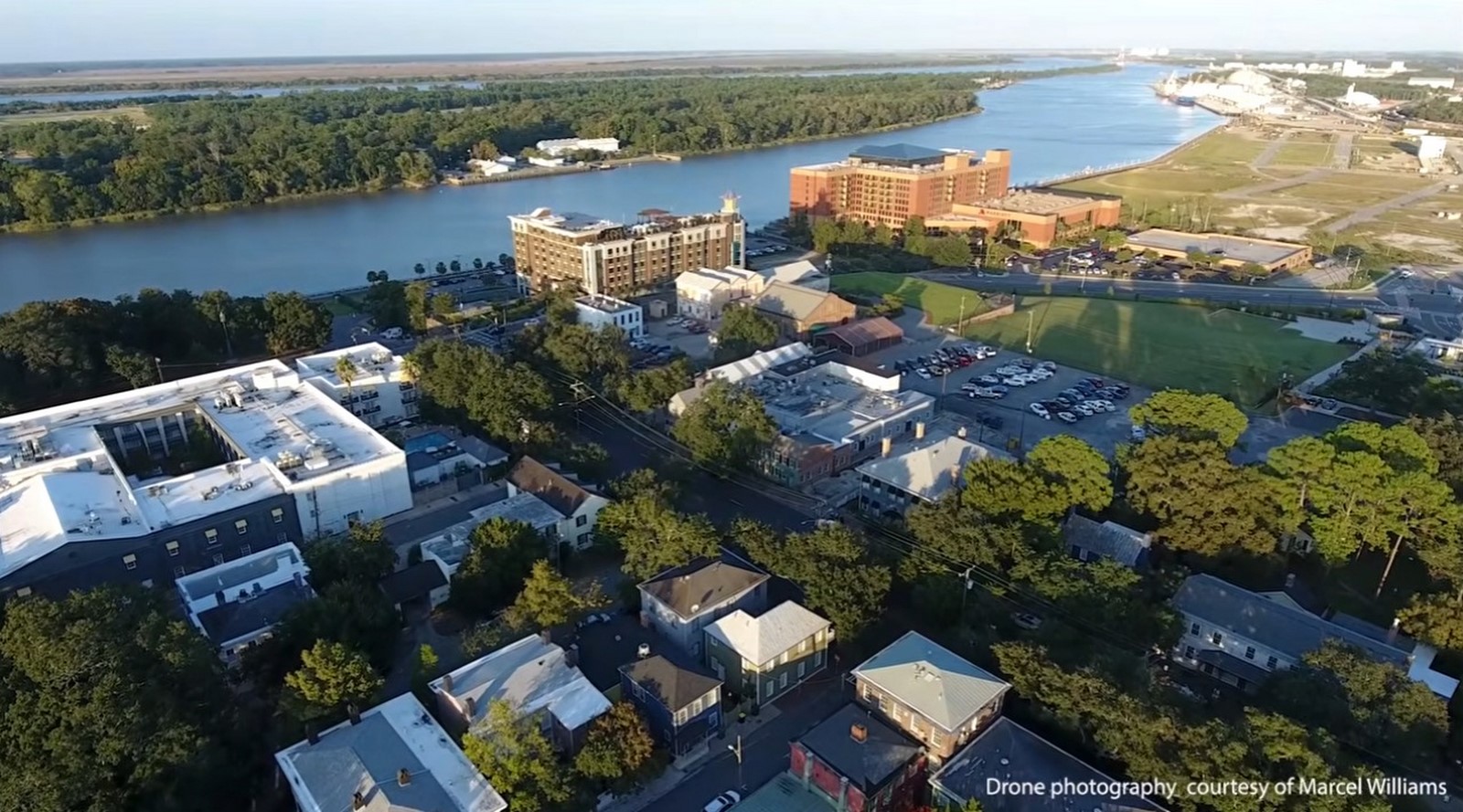
The video also looks at newer buildings along the waterfront and discusses the challenges of adding new structures to a historic area. This goes beyond just preserving the past and asks how modern architecture can fit into the city’s existing character.
Savannah’s Urban Framework: Where the Planned City Meets the River
To understand Savannah’s Historic Waterfront, it’s important to look at the city’s overall layout. The waterfront is different from other parts of Savannah because it developed in a unique way, following the system set up in the eighteenth century by James Oglethorpe, where wards, streets, and public squares were arranged to create a special civic order.
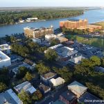
The waterfront, however, follows a different logic. While the upper city is defined by geometry and planned public spaces, the riverfront responds directly to the bluff, the river’s curve, and the practical demands of trade. Warehouses, ramps, bridges, and retaining walls developed in response to the terrain and the movement of goods between the city and the river.
This video helps the designer appreciate the difference between the two. The geometric nature of the upper city and the less organized waterfront make it clear that the city’s form is not the result of a single thought process. While planning may provide a framework, other factors like geography, economics, and patterns of use also shape the city’s form.
Rather than presenting the two as opposites, the tour shows how these aspects come together to give Savannah its unique identity. From the architect’s perspective, this shows how a city’s identity can form through the interplay between planning and the forces that help shape development.
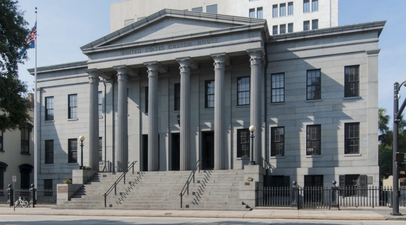
Architecture Shaped by Commerce
Savannah’s Historic Waterfront shows that economic activity shapes architecture in many ways. As the city became a major port, the cotton trade required warehouses, office buildings, loading areas, and easy connections between the waterfront and the upper city.
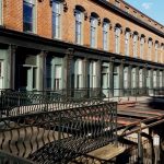
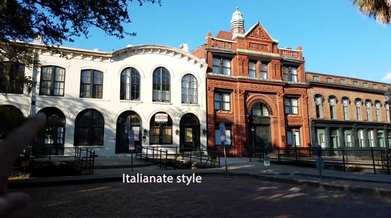
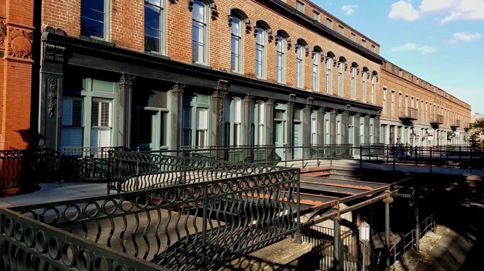
Buildings along Factors’ Walk responded directly to these requirements. Factors, the commercial agents who managed the sale and distribution of goods, occupied offices on the upper levels, while warehouse storage and handling occurred closer to the river. As different levels accommodated different activities, passages and ramps connected the commercial spaces to the river and the city.
The buildings’ openings, passageways, and circulation paths responded to these needs. The building functioned as part of an extended logistics network, not as a stand-alone entity.
For the architect, the video shows that a building program is not confined to the building’s interior spaces but encompasses a broader spectrum, including the building’s economic influence, access, relation to the public, and role in the urban fabric. The video makes this lesson particularly accessible by connecting the physical environment to the activities that once animated it.
Reading the Bluff: The Section of a City
One of the video’s most valuable architectural lessons lies in its emphasis on section. Savannah’s waterfront cannot be fully understood through a plan or elevation alone. The steep bluff between the upper city and the Savannah River creates a vertical relationship between Bay Street, Factors Walk, and River Street.
As the video continues, the changes in level become a key part of the experience. Stairs connect the different heights, ramps lead down to the river, bridges cross the gaps, and retaining walls hold the land in place. Warehouses are built between these levels, often with entrances at more than one height.
The resulting urban landscape reads almost like a building section, revealing how topography, structure, circulation, and program work together.
This is one of the strongest architectural lessons of the video. It demonstrates why site analysis should not stop at a two-dimensional understanding of streets and building footprints. Sectional thinking can reveal connections, level changes, movement patterns, structural requirements, and relationships that are otherwise easy to overlook.
Savannah Historic Waterfront becomes an example for both students and architects that a challenging site does not impede design; rather, it becomes an opportunity to generate architecture.
Factors Walk: Architecture Between Levels
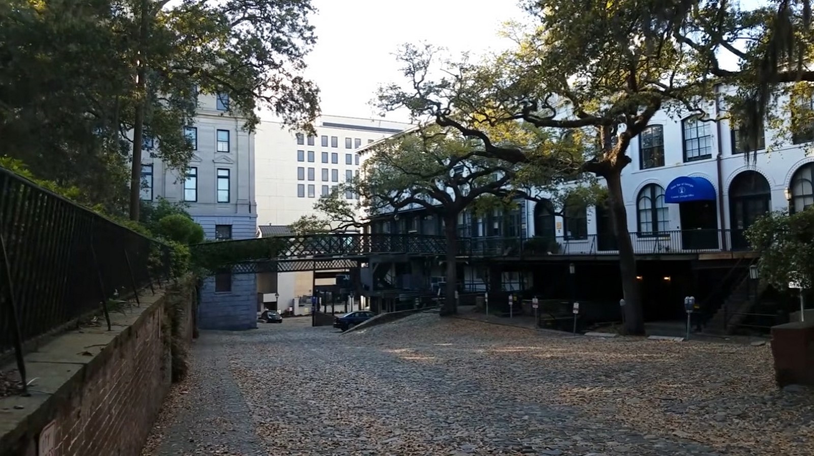
Factors’ Walk best illustrates the connection between movement and architecture in Savannah’s waterfront area. It consists of passages, ramps, stairways, and walk bridges that don’t easily compare to the well-ordered street grid in the upper part of the city. Movement occurs at different levels and in confined spaces rather than on a single horizontal plane.
The video’s walking-tour style works well here. As the tour moves through narrow passages and across different levels, it slowly reveals the waterfront. Openings show views of the river, bridges highlight nearby buildings, and changes in height change how we see the warehouses and their surroundings.
This process of movement makes the architecture more experiential than purely visual. The nature of Factors: Walk is brought out by transitions, thresholds, and changing perspective.
For designers, the lesson is straightforward but significant: circulation does not have to be leftover space between buildings. Paths can shape how people interpret architecture. For instance, a stair, a bridge, or even a narrow passageway can give an area its identity when considered in the context of spatial experience.
The tour encourages viewers to notice these transitions and understand how movement itself can become an architectural narrative.
Infrastructure as Architecture
In addition, the video redefines architecture by introducing the components that enable life in the city. The retaining walls interact with the bluff, while bridges and pathways connect different levels of the city. Beyond enabling access and movement, they also create spaces and give the waterfronts identity.
The video’s attention to such features broadens the conventional understanding of architecture. Infrastructure is not only an applied solution embedded in surrounding buildings; it can also help form public space and shape how people perceive the territory.
This is especially significant in urban design, where engineering, movement, and architecture often overlap. Savannah is a good example, where engineering requirements have been used to enhance buildings’ architectural form. For architects, the waterfront offers a useful example of how engineering needs can enhance architecture’s spatial identity.
Material as a Record of Time
Another way to explore Savannah’s waterfront is to analyze it through its materiality. Savannah’s waterfront is composed of brick buildings, stone buildings, iron bridges, and cobblestones. Together, these materials form a consistent architectural language, even though they were built at different times.
Other interesting features include the granite pavers, originally shipped to the area as ballast on boats and later used as paving stones along waterfront streets and walkways.
Such observations show that materials can preserve the memory of time. A stone pavement may seem like an unremarkable construction element until it tells a story of past trade, transportation, and use.
While architects who design historic buildings and districts must learn this lesson in terms of physical preservation, they can also preserve something beyond physical materials. The architecture of the waterfront shows how history can live in small details of an architectural design.
Architecture as an Urban Palimpsest
One of the most intriguing aspects of the video is that the Savannah waterfront is described as an urban palimpsest – where the landscape gets meaning imposed by different eras. At the beginning, the bluff shaped land development, followed by commerce that built warehouses and transport infrastructure, which then evolved with changing economics until preservation and tourism became involved.
This idea continues today with preservation, tourism, and redevelopment in Savannah. The old buildings and infrastructure still connect to their original uses, even though the area now serves new purposes.
When the video talks about newer buildings, it raises an important question for architects: how can modern changes fit into a historic city without taking away its character?
Savannah provides a useful case study in adaptive reuse. Its warehouses, pathways, retaining walls, and other waterfront features retain traces of their earlier functions while supporting new uses. The district’s significance lies not in preserving it as a frozen image of the past, but in understanding how historic spaces can continue to participate in contemporary life.
For designers, this means considering how to integrate new programs into existing structures without destroying their spatial logic or material identity. The tour encourages viewers to see preservation as an ongoing process of negotiation between history, use, and change.
A Critical Reflection
One of the best things about Savannah’s Historic Waterfront: An Architectural and Urban Tour is that it doesn’t just focus on dates and styles. Instead, it helps people understand why the waterfront looks the way it does, showing how geography, business, infrastructure, and people shaped the area.
The video keeps things interesting by focusing on the connections between monuments, not just the monuments themselves. As viewers follow the route through Savannah, they start to see the city as a layered place shaped by people, geography, and time—not just a group of old buildings.
Savannah’s Historic Waterfront is a great case study for architects because it didn’t come from one big idea. It grew over time to meet different needs, with warehouses, bridges, retaining walls, streets, and more. What matters is not just each part, but how they all work together as one city system.
By looking at these topics, the video lets viewers study them closely. It highlights edges, materials, passages, levels, and traces of past uses, encouraging people to look beyond just the monuments. This approach is especially useful for anyone interested in urban design, adaptive reuse, contextual architecture, or historic preservation.
Most importantly, the tour teaches a way of seeing that architects can use anywhere. Instead of just asking what a building is, designers should think about why it’s there, what shaped it, how people move through it, and what parts of the past should guide its future. For architects and students, the video encourages you to see familiar places in new ways and notice the stairs, walls, bridges, surfaces, and thresholds that shape how we experience a city. Savannah’s waterfront shows that meaningful architecture is found not just in buildings, but in the connections that hold a city together.
In the end, the video’s main lesson is simple: meaningful urban architecture doesn’t always have to change a site’s conditions. Sometimes, it lets those conditions become part of the architecture.
References:
https://www.youtube.com/watch?v=i4Rj8Ajey4M