Topography: The Salient of a Land
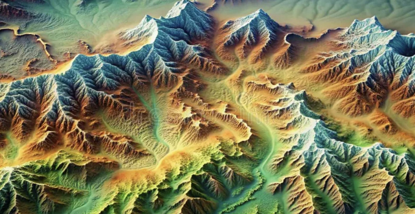
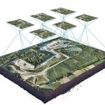
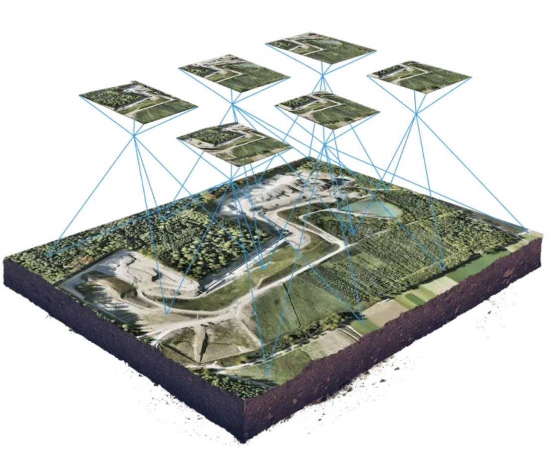
Architecture, a practice of developing structures or enhancing existing landforms, finds itself utilising, or basing itself almost always on a substrate, which is the Earth. It is this Earth, and its unique and organic qualities, that designers need to work with, sometimes alter, or even accentuate to create habitable spaces. Topography, or the terrain of the land, refers to the forms and structures of the physical features in an area, detailing the undulations and landscapes created by various natural processes and elements. The geography and its topography, which are interlinked, enable one to understand the history and attributes of the space to be designed or ‘reclaimed,’ as should be focused.
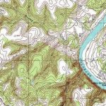
The topography of a place is a function of several biotic and abiotic factors such as wind, water, sunlight, and the geological nature of the underlying surfaces influencing the soil, mineral availability, vegetation and fauna and the texture of the Earth and elevations. While certain places boast of their flat terrain and lush green vegetation and river banks, others might flaunt ranks of snow capped mountain ranges and valleys, with sparse yet distinctive flora. Contours, or imaginary continuous lines drawn on topographical maps, provide information regarding the elevations of the land at different regions by connecting points of equal elevations, usually taken from mean sea level, or for the purpose of surveying, a benchmark.

Site Study and Features
Land provides a plethora of opportunities to shape spaces and experiences based on the typology of building, user requirements, and environmental feasibility. Topographical study, which is housed under the broader analysis of the site, highlights features such as contour, slope, and aspect, integral for the placement of activity zones. While contours correspond to the reduced levels or elevations of the land, slope refers to the angle or ratio of rise with respect to the horizontal distance traversed. Another of its features, aspect, gives the direction towards which the slope is oriented. These parameters help an architect look into views and vistas, solar orientation for daylighting, heating, and shading, water channelling and replenishment, and stability of soil for construction and vegetation.
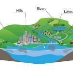
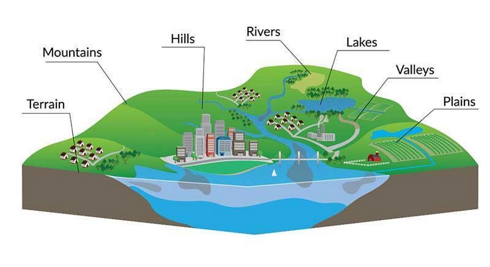
Topography also encompasses aspects of geology and hydrology, significant for understanding the soil structure and water behaviour. While geology predominantly focuses on the soil type and stratification, depth of bedrock, soil profile, and its bearing capacity for the laying of foundation and percolation of water to the ground, hydrology speaks about the drainage routes, water seepage, and replenishment of table, aquifers, and surface water features, and efficiency of the natural water cycle. Based on the topographical facet, terrains can be divided into plains, plateaus, mountains, and valleys, and the Karst type of land. It is seen that plains are usually the most fertile and thick with flora, rivers originate from mountains and hill ranges, plateaus are enriched with minerals and natural resources, and valleys are often the best natural water basins.
Meaning of Site Planning and Usage of Topography in the Present Times
While several architects and designers consciously adopt landscape and topography in an efficient and environmentally balanced manner to not disturb ecological harmony and natural processes, it has been noticed that repercussions of poor planning and topographical management are causing disasters and perturbances, ultimately degrading nature as well as public infrastructure. Since topography is the cardinal determinant of certain processes like erosion, drainage, deposition, and percolation, it is important to understand the dynamics of these forces and combat disasters such as water stagnation, floods, droughts, and untimely weather calamities. It is with the designers that the power to mitigate such issues, both short-term and long-term, rests.
Recognising this, certain landscape designers and architects have come up with projects that not only revive or preserve the land but also reflect the ethos of the nature and environment around, subtly existing as a part of the organic scene.

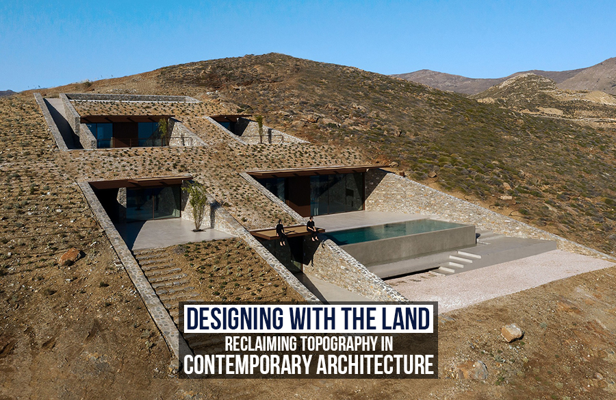
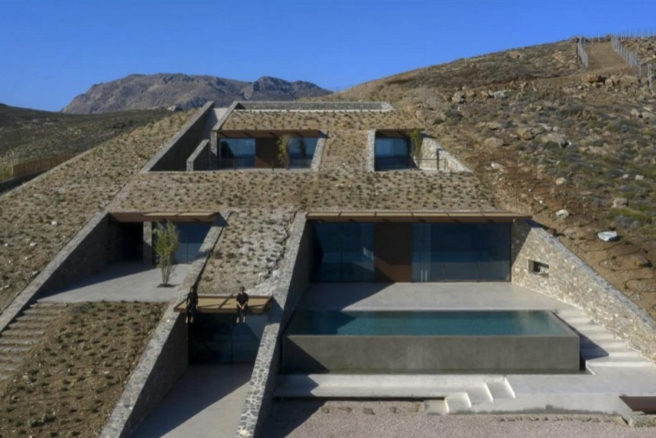
One such project is the NCAVED house, nestled in the rocky and windy terrain of Agios Sostis in Greece. Designed by MOLD Architects, this structure is practically embedded within the hill or the contours in three tiers, with only roofs and sunshades projecting. This building directly faces the sea, with an unobstructed view yet complete protection from strong winds and sandstorms. Kept in place using retaining walls and supports, this residence inconspicuously blends into the landscape, doing away with traditional shoe-box buildings and environmentally insensitive planning.

Facets of Site Planning
Topography, in general, can be considered as the terrain and undulations of the parcel of land. It determines the kinds of views that certain activity areas and rooms would receive based on the orientation and massing. It also determines the trajectory of rain water flow and catchment in the premises, seepage, and percolation into the groundwater table. It influences the access within the site, the routes, and the paths that can be configured. Topography also influences the microclimate of the place. It can harness winds, sunlight, and the effect of rain based on the area of the site as well as the elevations.
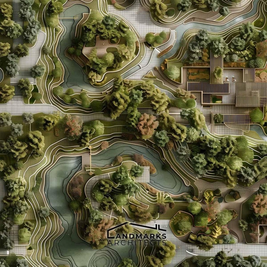
Grading or the manipulation of slope has also become commonplace in order to achieve certain crucial design objectives. This can be done to achieve better vistas, create roads or paths, lay foundations, create new drainage patterns, or introduce certain landscaping features. But, it is generally not advised to do so since it can affect the already existing stable, rammed, and natural structure of the soil negatively. Removal of topsoil would put the land at risk of soil erosion, stripping it of most of its fertility and thereby the vegetation. It is also not an economically viable option.
Landscape Architecture: A Discipline of Architecture or an Inherent Quality
While a separate arena in architecture has been dedicated to the specialised study and execution of landscape features and site planning, architects and generalists must understand that they are now at a critical juncture where they must use landscaping and its subjects not as a distinct discipline, but as an indispensable part of architecture and planning. The perspective they hold with regard to landscape as a system or an object defines the right use of the land and enhances the environmental and sociological feasibility of the space by multiple folds. It must be understood that architects of such a stream are not just expected to introduce green patches and water bodies amidst concrete masses, but recognise the personality of the land, the contours and undulations to seamlessly integrate land and building, not affecting the nature in a negative way, but also reclaiming and positively utilising the piece of Earth.
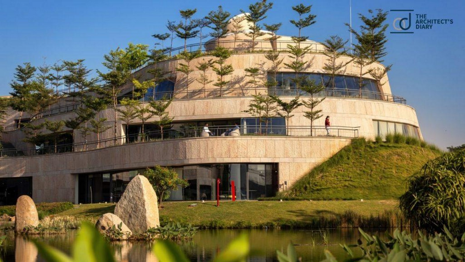
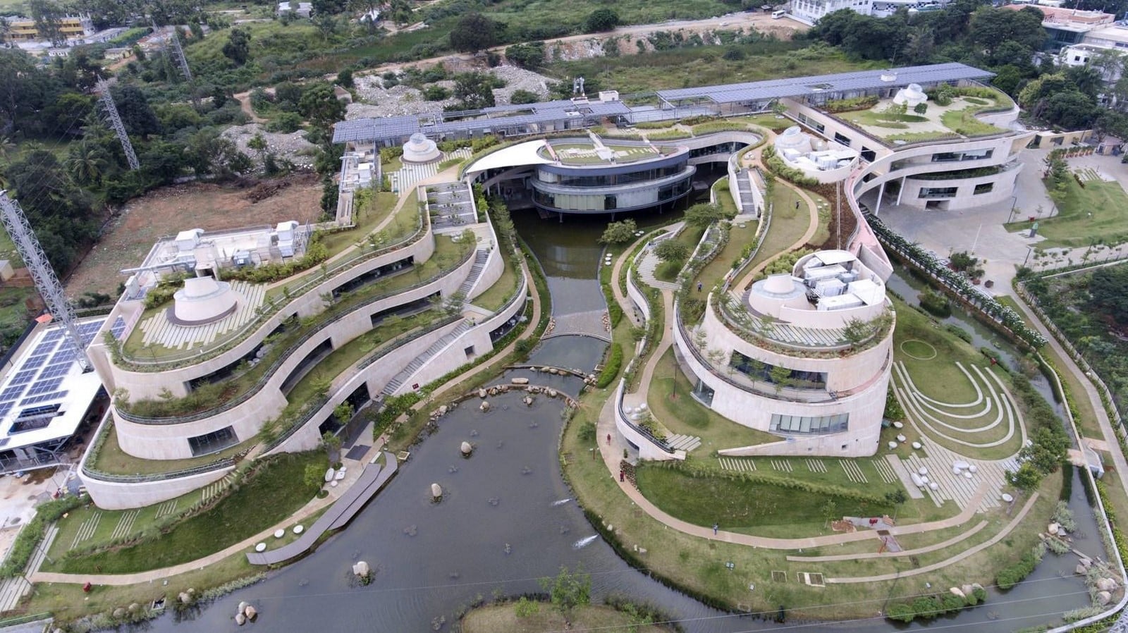
Such a seamless integration can be seen in a corporate office in Bengaluru, Titan Integrity Campus, designed by Mindspace Architects and One Landscape firm. The site was designed as a visual extension of an existing lake in the vicinity, the Veerasandra lake, which had fallen prey to eutrophication and was consequently revived. A bio lake was then formed along with the retention of earth mounds and natural elevations. In this plan, the building has been designed in three levels taking landscaping through a vertical axis with terrace gardens and lawns. The intent was that, over the years, the plants and green features would take over the building and it would disappear under the foliage, blending into the lush, sprawling nature around. As a result of the efficient and environmentally conscious planning, the building was also awarded LEED and GRIHA certifications.
Given below are the references in Harvard Citation Style:
Anon, (2022). Types of Topography: A Guide To Different Types of Landforms | Spatial Post. [online] Available at: https://www.spatialpost.com/types-of-topography/.
admin (2024). Interpreting Topography, Contours and Site Levels In Architecture. [online] ArchiMash.com. Available at: https://archimash.com/articles/topography-contours-levels/.
Holmes, D. (2025). What is landscape architecture? [online] World Landscape Architecture. Available at: https://worldlandscapearchitect.com/what-is-landscape-architecture/?v=13b5bfe96f3e [Accessed 31 Aug. 2025].
LaGro, J.A. (2013). Site Analysis. John Wiley & Sons.
Architonic. (2020). Ncaved House – Discover project by ALUMIL. [online] Available at: https://www.architonic.com/en/pr/ncaved-house/20267265/ [Accessed 31 Aug. 2025].