The reconstruction of Gaza City post-war has been discussed through the rebuilding process: housing programmes, infrastructure networks, masterplans and architectural proposals. Yet before the reconstruction process starts, another question must be addressed: what can be established about the city that existed before its destruction? Which buildings stood on a particular plot, how were its boundaries defined, and who had the right to occupy or own it? These questions require different forms of evidence, from land registries and municipal archives to historical maps, photographs and physical surveys.
In Gaza, the destruction of buildings has coincided with the loss of records and surveying infrastructure needed to understand the former urban fabric. The issue is that some digital records, historical documents and external archives survive, while other materials are missing, damaged or difficult to authenticate. Reconstruction requires distinguishing between three different tasks: reconstructing the physical form of a building, reconstructing the spatial history of a parcel, and establishing legal ownership. Each demands different evidence and standards of verification.
So, how can a city be rebuilt when its physical fabric has disappeared, its documentary record is incomplete, and the ownership and future use of land remain contested? How can it be rebuilt without treating the gaps in its evidence as permission to erase its past or redesign its future without its inhabitants?
1. The destruction of records
The Palestinian Land Authority’s records illustrate the specific evidentiary problems facing reconstruction in Gaza. According to DCAF’s 2025 report, Institutional Memory of Palestinian Public Institutions under the War: Post-October 2023, the Authority’s older paper archive containing land-ownership and transaction records from before 2001 was reported to have been completely destroyed. Some of these documents had never been transferred to the digital registry. Although most Gaza land records had been digitised before the war, the report found uncertainty over the official status and validity of electronic copies held by Palestinian Authority institutions in the West Bank. The loss also extends to municipal records, including building permits, zoning plans and documents relevant to property boundaries. DCAF reported the complete destruction of physical archives in Wadi Gaza, Nuseirat, Khan Younis and New Abasan municipalities, while other municipalities reported partial losses (DCAF, 2025).
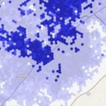
The April 2026 Gaza Rapid Damage and Needs Assessment, prepared by the World Bank, the European Union and the United Nations, identifies the destruction of land-surveying infrastructure as another obstacle. Its land-sector assessment estimates that approximately 80 per cent of Gaza’s 218,000 property-boundary beacons are presumed destroyed, alongside most geodetic reference points used to locate and measure land parcels. By mid-2025, more than 65 per cent of property owners had also lost their property documents. The assessment identifies extensive re-surveying, community-based ownership documentation and the restoration of cadastral systems as priorities for recovery (World Bank, European Union and United Nations, 2026).
The implications extend beyond land-registration offices. According to Librarians and Archivists with Palestine’s preliminary 2024 inventory, the Central Archives at Gaza City Hall were completely destroyed by fire following direct shelling in November 2023. The collection contained approximately 150 years of records relating to the city’s history. The destruction of the Omari Mosque in December 2023 also threatened its historic library, although more than 200 manuscripts from the collection had been digitised in 2022 (Librarians and Archivists with Palestine, 2024). These cases demonstrate two different forms of loss: the destruction of an institution holding records of urban history, and the destruction of a historic building that housed a collection of knowledge.
2. Reconstructing the city through spatial evidence
Establishing a historical baseline
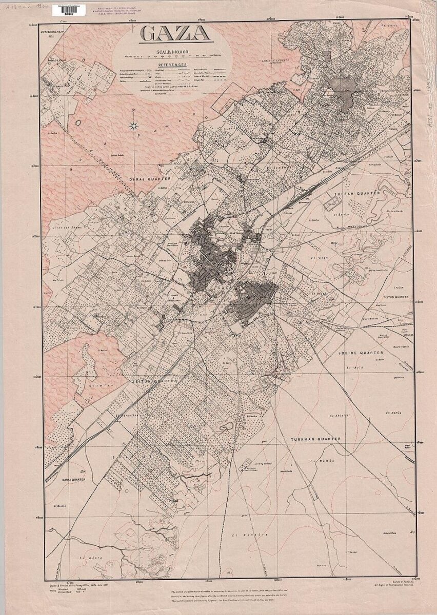
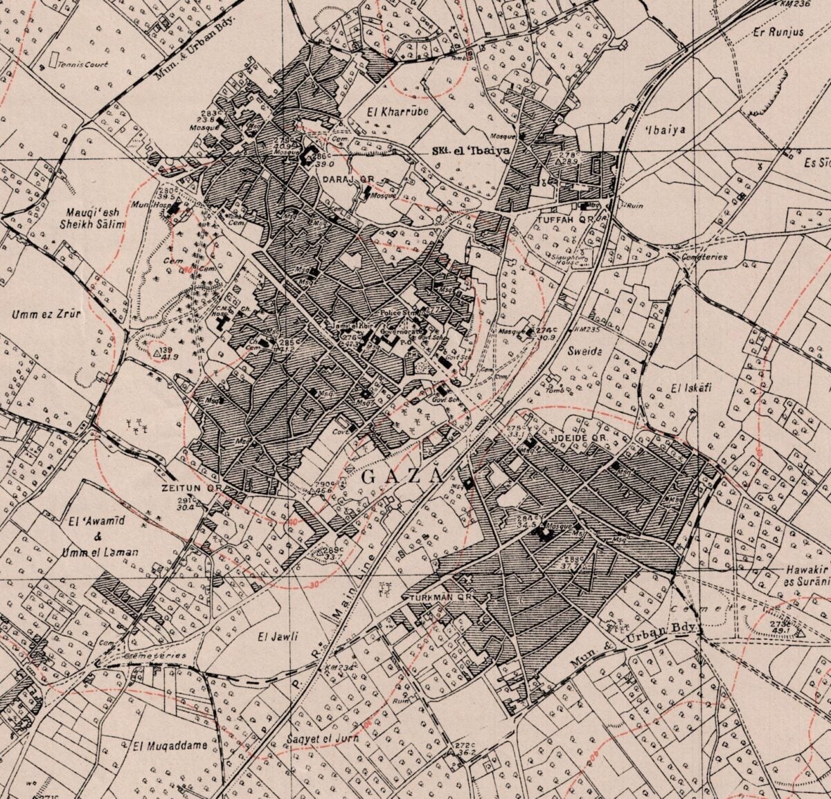
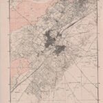
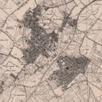
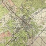
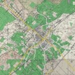
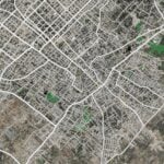
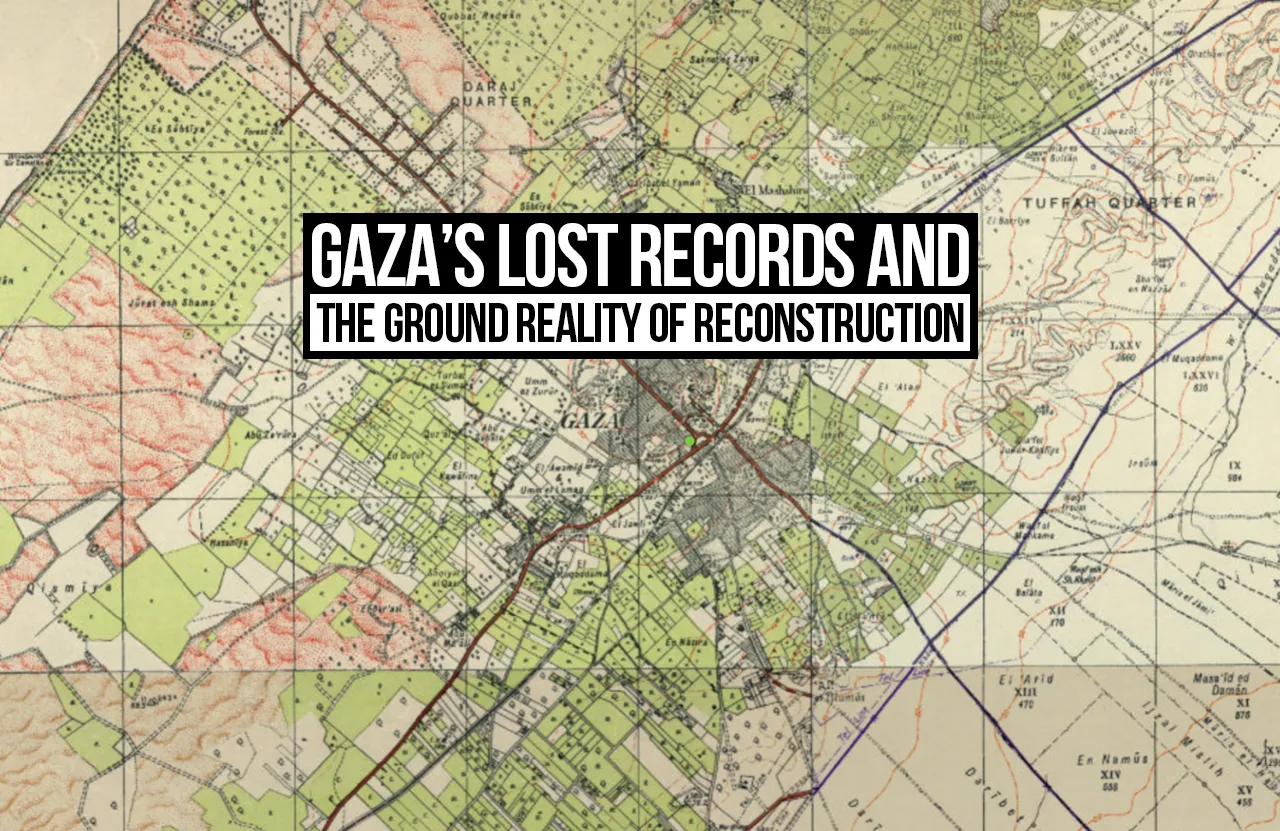
The 1931 Survey of Palestine map provides a historical reference for examining Gaza City’s urban layout, including its street network and built fabric at the time. The map offers a basis for understanding the city’s historical spatial organisation and contextualising subsequent changes to its urban fabric.
Palestine Open Maps provides a complementary resource: downloadable historical map sheets, detailed mapping from the British Mandate period and tools for overlaying historical features on present-day maps. Some of its historical mapping includes roads, settlements and property boundaries, although the presence and detail of these features vary by sheet and date (Palestine Open Maps, n.d.).
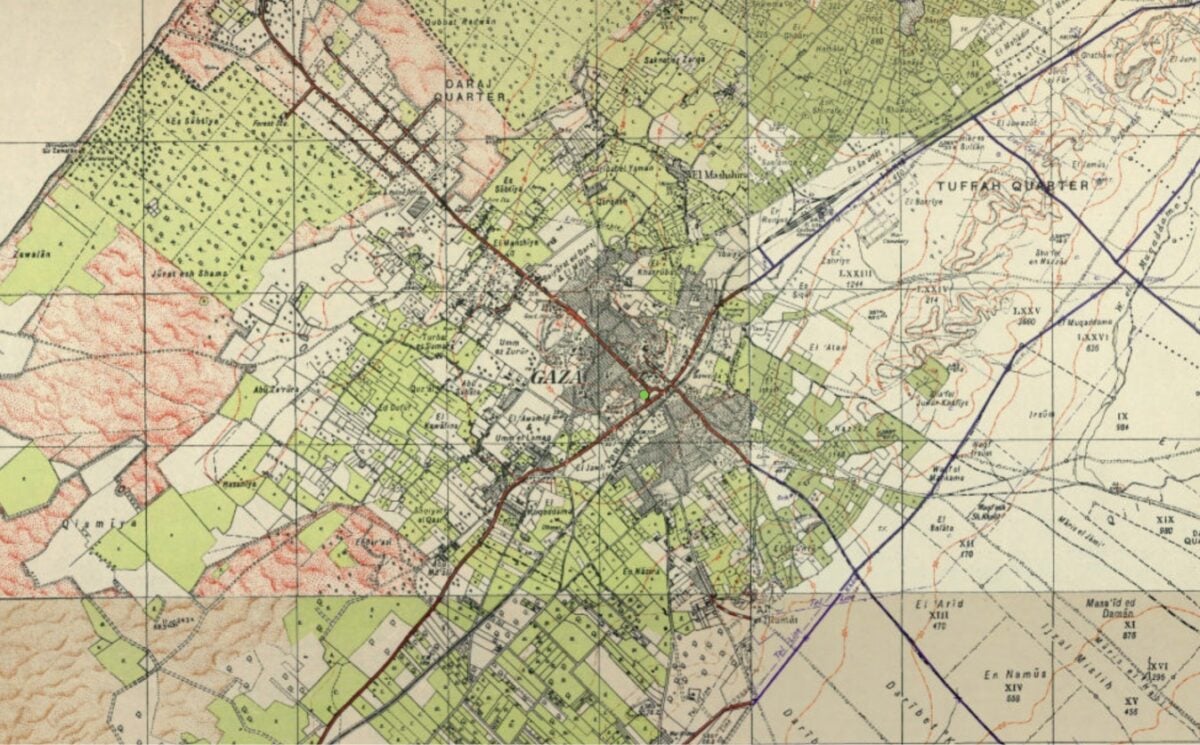
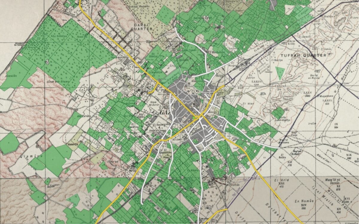
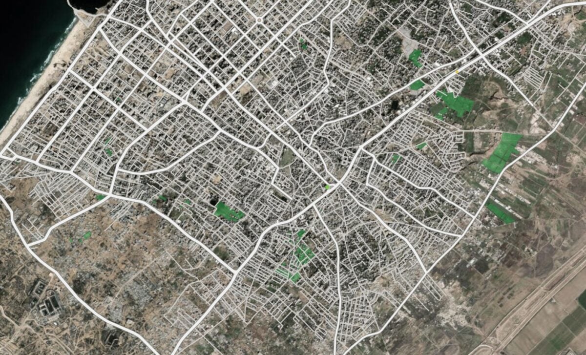
These resources should be used to establish a spatial baseline. A historical map can preserve a street network or show the subdivision of land at the time it was surveyed. A practical reconstruction begins by selecting a clearly defined area and locating its historical map sheets. The relevant sheets are then georeferenced against identifiable reference points, such as persistent road junctions or other features that can be located in both historical and contemporary material. Researchers should record the map’s date, scale, source and alignment error. Where a map cannot be aligned reliably, that limitation should remain visible.
Comparing pre-war and post-war imagery
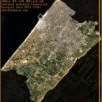
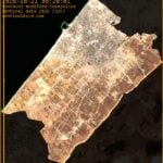
The next step is to establish what the area looked like immediately before the destruction. Pre-war satellite imagery can reveal building footprints, street alignments, block structure and open spaces. Higher-resolution imagery may distinguish individual buildings, whereas lower-resolution imagery is better suited to broader urban patterns.
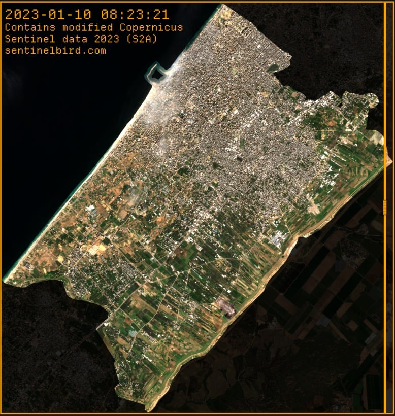
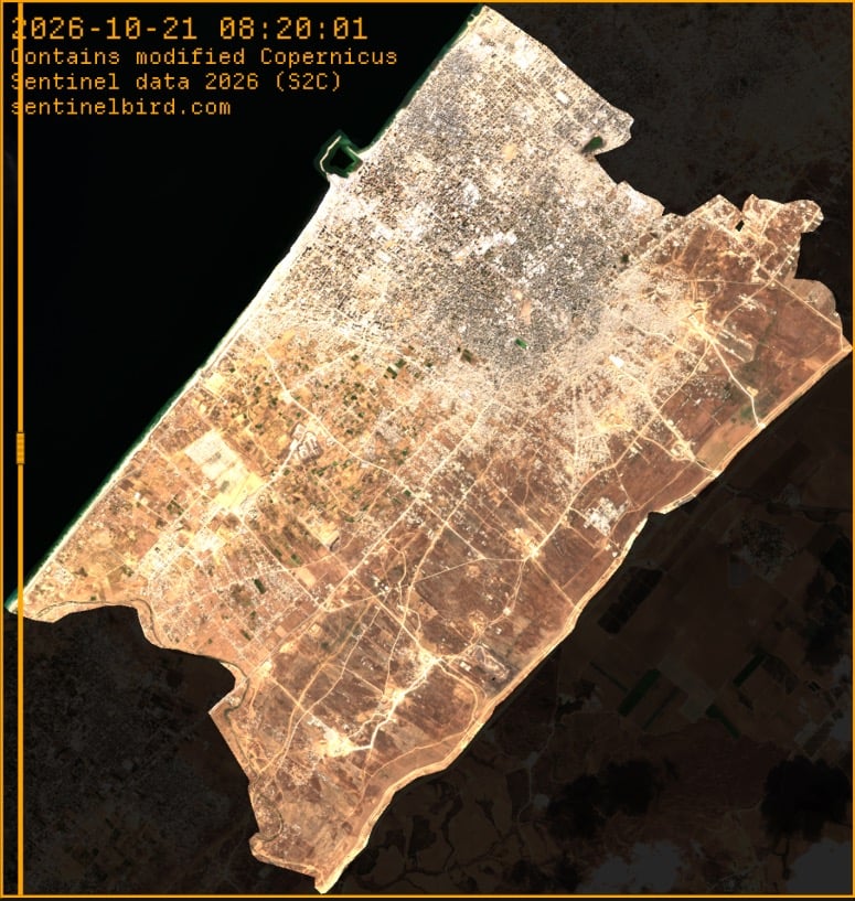
The result should be an annotated spatial comparison. Each layer should retain its acquisition date and source. Structures identified as destroyed or damaged by satellite analysis should be distinguished from buildings whose earlier configuration is established through historical documentation.
From a footprint to an architectural record
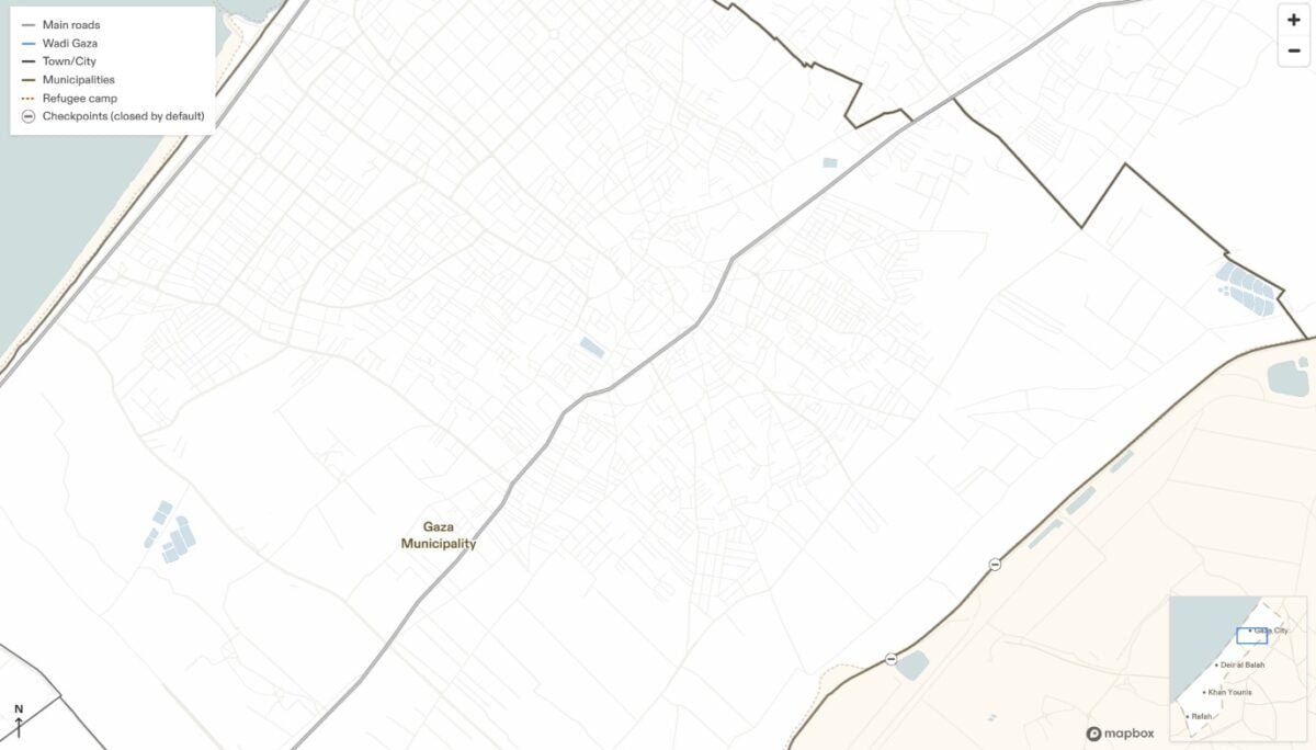
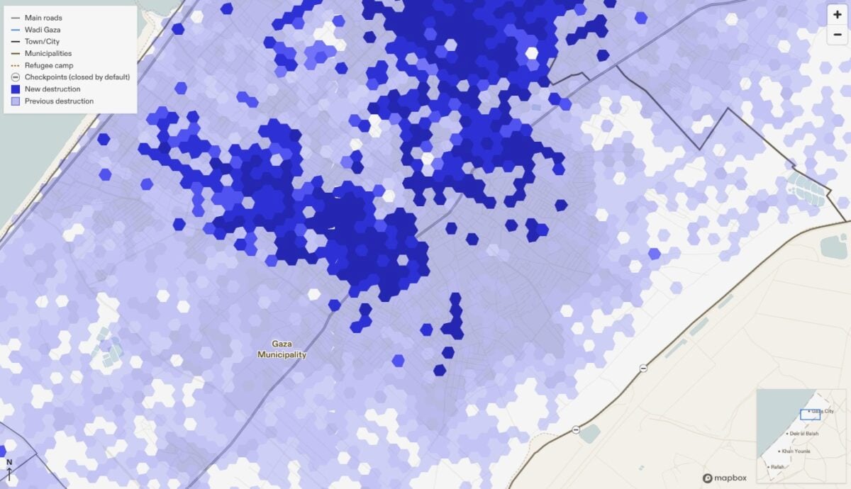
Recovering a building’s location is the beginning of reconstructing its form. Plans, elevations, construction photographs, conservation records and images taken from different viewpoints may allow researchers to establish its geometry and architectural features. Where overlapping photographs survive, photogrammetry can help generate a three-dimensional model. Historic Building Information Modelling (HBIM) can organise the resulting geometry alongside information about materials, construction phases and documented alterations.
3. Lessons from post-war reconstruction: Warsaw and Beirut
Previous reconstruction projects demonstrate how surviving documentation can guide the rebuilding of destroyed urban environments, but also how reconstruction decisions shape what is preserved, restored or lost. Warsaw and Beirut offer two different perspectives on this relationship between documentary evidence and the reconstruction of the built environment.
Warsaw: reconstructing an urban fabric from archival evidence
The destruction of Warsaw during the Second World War provides one of the clearest examples of reconstruction on an urban scale. More than 85 per cent of the historic centre was destroyed in 1944. Its reconstruction relied on surviving buildings and fragments, historical maps, architectural drawings, measured surveys, photographs and conservation inventories. The Warsaw Reconstruction Office, established in 1945, coordinated the documentation of wartime damage and the preparation of reconstruction plans. Its archive contains records of destroyed buildings, municipal infrastructure and proposed reconstruction works, and was inscribed on UNESCO’s Memory of the World Register in 2011 (UNESCO, n.d.).
The reconstruction depended on how architects and historians combined different sources to establish the appearance and organisation of the historic centre. Detailed historical illustrations and documents supported the recreation of an earlier urban period, while surviving structures and recovered architectural fragments provided additional physical evidence. The medieval street network and historic building plots were retained, although building interiors and some uses were adapted to post-war requirements (UNESCO World Heritage Centre, n.d.).
Beirut: reconstruction can preserve some histories while erasing others
Beirut offers a contrasting lesson. Following the Lebanese Civil War, reconstruction of the central district was entrusted largely to the private development company Solidere. Although the project restored and redeveloped parts of the city centre, subsequent research has criticised the transformation of its historic urban morphology, including the loss of former plot subdivisions and changes to the relationship between streets, buildings and public space (Al-Harithy and Mneimneh, n.d.; Aquilué, 2026).
This demonstrates that access to historical documentation does not, by itself, guarantee the preservation of a city’s urban character. The decisive question is how evidence is used to inform planning decisions, whose histories are represented, and whether reconstruction retains established spatial relationships or replaces them with a different urban model.
4. Reconstructing parcels without confusing evidence with ownership
The most difficult distinction is between recovering spatial form and establishing legal rights. A building footprint can be visible in satellite imagery, but its outline does not necessarily correspond to a legal parcel. Similarly, an old map may show property divisions without proving who owned a plot at a later date.
The land-sector assessment in the 2026 Rapid Damage and Needs Assessment identifies re-surveying, restoration of cadastral systems, community-based ownership documentation and dispute-resolution support as priorities (World Bank, European Union and United Nations, 2026). These measures suggest a practical sequence for recovering spatial information.
First, surviving land-registration records and digital copies should be inventoried and assessed for provenance, completeness and official status. Second, historical cadastral maps, municipal plans, permits and other records should be collected for the relevant area. Third, those documents should be compared with georeferenced pre-war imagery to test whether the recorded parcels can be located on the ground. Finally, where boundaries remain uncertain, new surveying and documented community consultation should be used to investigate discrepancies.
The evidence should be recorded in separate categories: boundaries confirmed by reliable cadastral records and corroborating spatial information; boundaries inferred from historical maps or other partial evidence; and boundaries that remain unresolved.
Community evidence can contribute to this process. Residents may identify former entrances, walls, paths, building uses or changes that are absent from formal records. Family documents and photographs may help establish the history of a property. Such information should be recorded with dates, provenance and corroboration, while legal ownership claims remain subject to the relevant legal and administrative procedures. Participation should support verification and protect residents’ rights.
Where evidence is incomplete or competing claims exist, the appropriate result is an unresolved case requiring further investigation.
5. Making the evidence usable for reconstruction
The practical outcome should be a linked, geographically organised record rather than a collection of disconnected maps and models. For each selected area, this could combine historical cartography, dated satellite imagery, damage classifications, architectural documentation, cadastral records and community-supplied material.
This record could support several distinct decisions: determining whether a building can be reconstructed from sufficient architectural evidence; identifying where further surveying is required; locating former streets and public spaces; and directing disputed property claims to appropriate legal procedures. It could also provide a basis for comparing proposed masterplans against the documented pre-war urban fabric, making it possible to identify where a proposal restores, modifies or removes established spatial relationships.
Remote sensing cannot establish ownership by itself, historical maps cannot guarantee current boundaries, and digital models cannot replace field inspection where access becomes possible. Their value lies in making the available evidence more coherent, traceable and open to scrutiny.
Reconstructing Gaza requires rebuilding the links between architecture, land, records and the people whose rights depend on them. The essential step is to connect these sources through a transparent method that records both certainty and absence. The resulting evidence can make clear what is documented, what remains inferential and what requires further investigation.
Reconstruction should begin with a documented account of what stood there, how it developed and what remains possible to establish. The purpose of reconstructing the evidence is to ensure that the rebuilding of Gaza is informed by its actual urban history and does not turn the destruction of records into the erasure of the rights and histories those records once helped protect.
References:
Al-Harithy, H. and Mneimneh, D. (n.d.). Integrating culture, recovery and reconstruction for sustainable urban development: Beirut case study. UNESCO World Heritage Centre. [online]. Available at: https://whc.unesco.org/document/175507 [Accessed: 22 October 2026].
Aquilué Junyent, I. (2026). The loss of urban form as a communicative system: A morphogenetic critique of the recent reconstruction of Beirut. Cities, 169, article 106535. Available at: https://doi.org/10.1016/j.cities.2025.106535 [Accessed: 24 October 2026].
DCAF – Geneva Centre for Security Sector Governance (2025). Institutional memory of Palestinian public institutions under the war: Post-October 2023. [online]. Available at: https://www.dcaf.ch/index.php/institutional-memory-palestinian-public-institutions-under-war-post-october-2023 [Accessed: 22 October 2026].
Forensic Architecture (n.d.). Cartography of Genocide. [online]. Available at: https://gaza.forensic-architecture.org/database/ [Accessed: 22 October 2026].
Librarians and Archivists with Palestine (2024). Israeli damage to archives, libraries, and museums in Gaza, October 2023–January 2024: A preliminary report. [online]. Available at: https://librarianswithpalestine.org/gaza-report-2024/ [Accessed: 22 October 2026].
Palestine Open Maps (n.d.). About. [online]. Available at: https://www.palopenmaps.org/en/about [Accessed: 22 October 2026].
Survey Department of Palestine (1931). Gaza City map. [Map]. Collection: Bibliothèque nationale de France, Gallica.
UNESCO (n.d.). Archive of Warsaw Reconstruction Office. Memory of the World. [online]. Available at: https://www.unesco.org/en/memory-world/archive-warsaw-reconstruction-office [Accessed: 22 October 2026].
UNESCO World Heritage Centre (n.d.). Historic Centre of Warsaw. [online]. Available at: https://whc.unesco.org/en/list/30 [Accessed: 22 October 2026].
World Bank, European Union and United Nations (2026). Gaza Strip: Rapid Damage and Needs Assessment. April 2026. [online]. Available at: https://thedocs.worldbank.org/en/doc/e539cbf23b348c3d4fc69b8a7e9c9d7d-0280062026/ [Accessed: 22 October 2026].