Historic Indian settlements are not just arrangements of buildings and streets, but multifaceted representations of invisible borders constructed through socio-cultural, religious, and political contexts. These borders—based on caste, community, ritual, memory, and governance—have had a deep impact on the spatial order and human interactions in India’s cities. Through an analytic examination of cases from Ahmedabad, Hyderabad, Jaipur, Madurai, Varanasi, and Kolkata, this article deconstructs how built environments reproduce and enforce intangible boundaries. By recognising spatial patterns influenced by cultural systems of belief, political power, and mundane practices, the article suggests frameworks for culturally appropriate urban design. Comprehending these unseen forces is paramount in planning inclusive futures that respect memory, consolidate equity, and reinforce community participation in transforming cityscapes.
Keywords: Invisible Borders, Socio-Cultural Practices, Political Geography, Urban Morphology, Indian Cities, Caste, Ritual, Built Environment, Heritage, Human-Centric Design
-
Introduction: Unpacking the Unseen Architecture of Boundaries
Indian historic settlements are spatial palimpsests, inscribed with centuries of socio-political and cultural codes. Behind their tangible architecture is a subtle yet powerful infrastructure of ‘invisible borders’—rules of spatial inclusion and segregation often framed by caste, religion, rituals, power, occupation, and memory. These borders, though intangible, emerge in architecture, spatial hierarchies, and community behaviour. In an increasingly urbanising India, where master plans increasingly ignore lived reality, re-reading these historic forms can inform more human-oriented futures.
-
Social Boundaries: Occupational and Caste Segregation in Space
2.1 Pols of Ahmedabad,
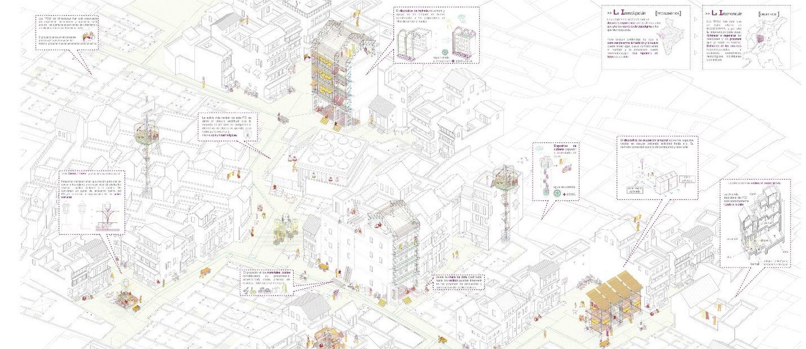
Ahmedabad’s historic residential agglomerations are microcosms of caste and occupational homogeneity. Every pol was a gated community with one entrance point, a public well, and common courtyard spaces (Patel, 2010). While ensuring safety and social unity, they also emphasised the exclusivity of caste. Urban form replicated the invisible hierarchy with Brahmins near temples and artisans at the peripheries.
2.2 The Theru System in Madurai Streets
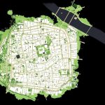
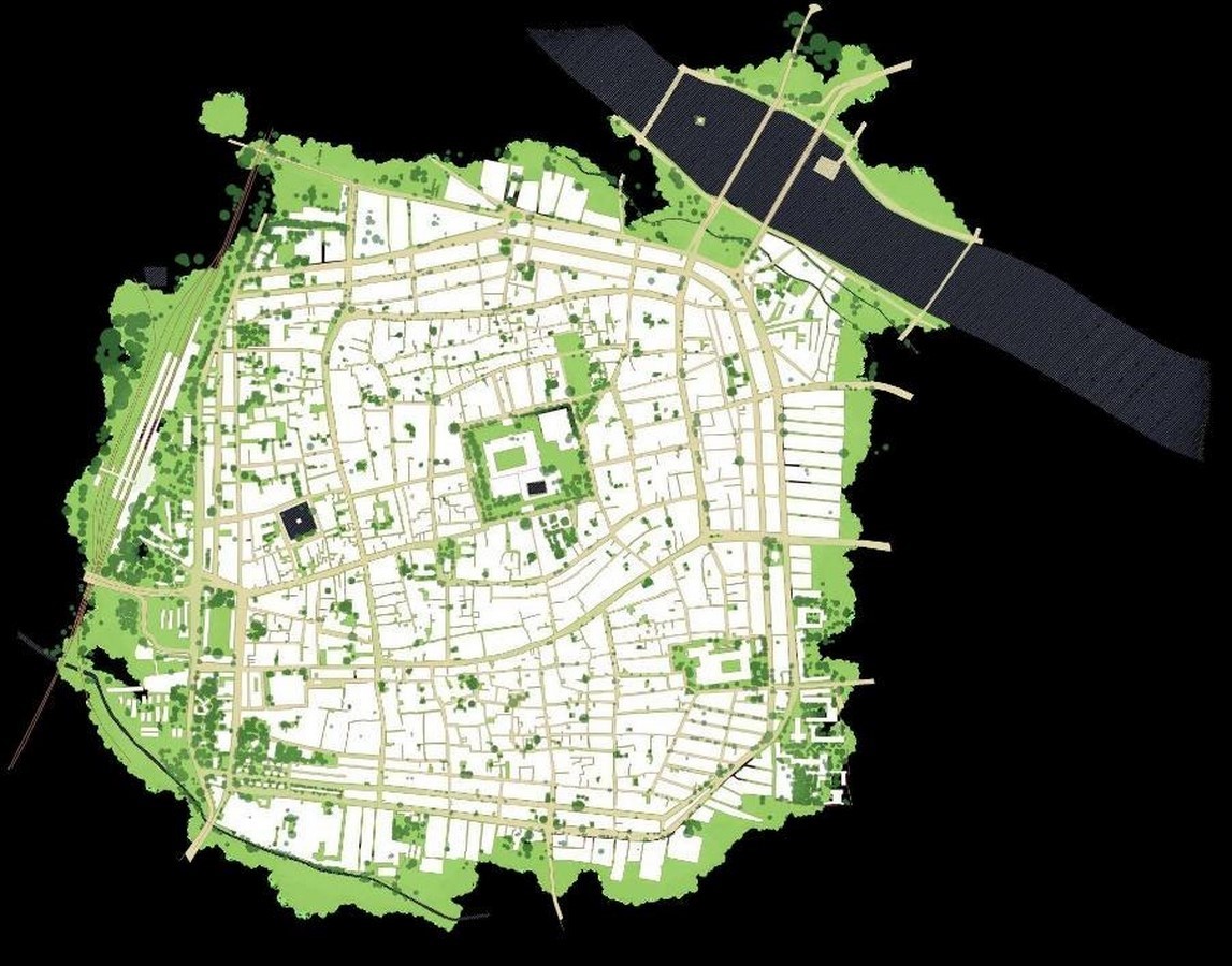
(therus) emanates from the Meenakshi temple. Proximity to the temple depends on social status, a symbolic indicator of godly rank. Peripheral lanes were reserved for lower castes, and innermost rings were home to temple priests. The city plans replicated ritual ranking and social hierarchy.
2.3 Maharashtra Wadas
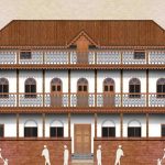
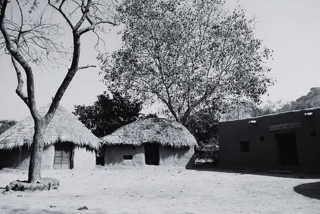
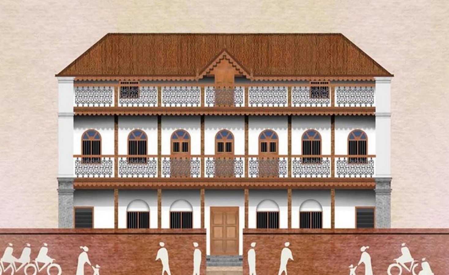
Maharashtra Wadas in Pune and Kolhapur have layered internal structures—public courtyards for men, covered ones for women, and service spaces for lower-caste labourers. Their hierarchical access structure subtly imposed untouchability, while providing social unity within inner families (Gupta, 2007).
-
Cultural Borders: Rituals, Festivals, and Spatial Imagination
3.1 Varanasi’s Ghats and Sacred
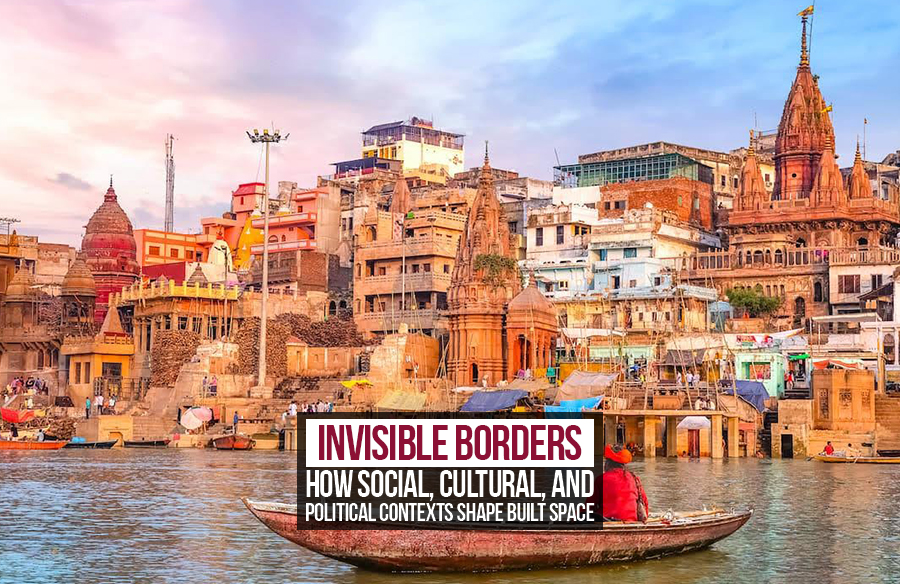
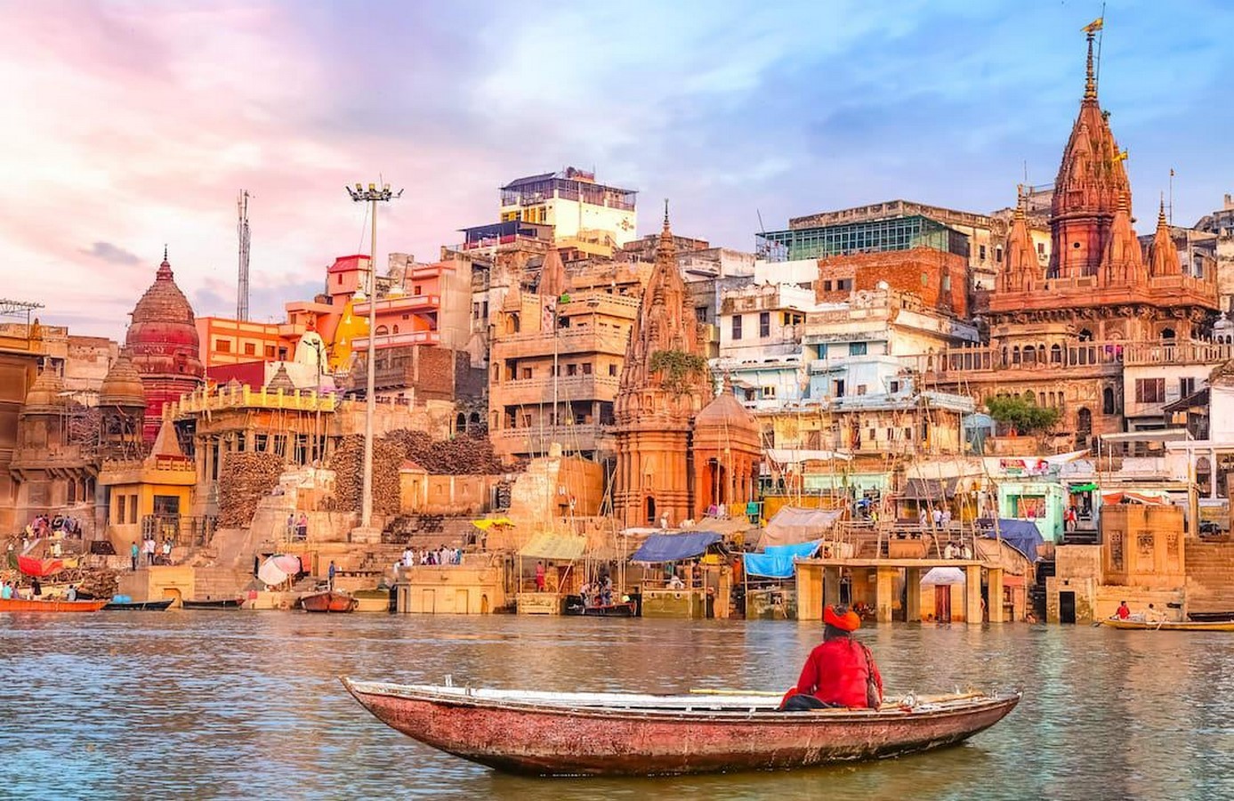
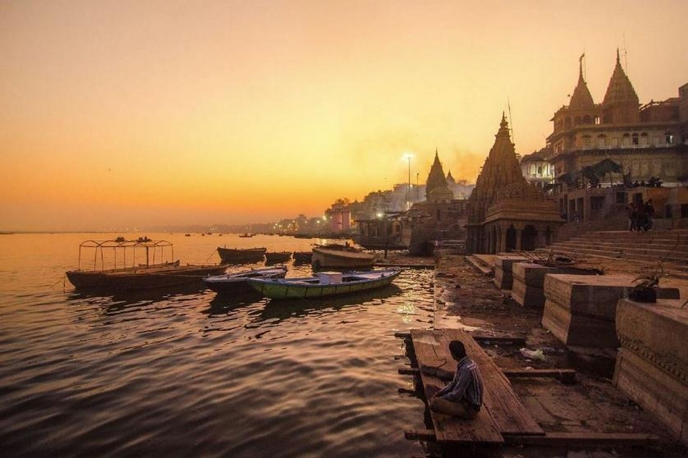
Topography Varanasi exemplifies sacred spatiality. The city is shaped by mythic narratives, with each ghat linked to a specific ritual. Festivals like Dev Deepawali or Ganga Aarti restructure public space into spiritual theatres (Eck, 1982). Sacred geography defines identity, time, and spatial flow.
3.2 Ganesh Chaturthi in Mumbai
A celebration that turns domestic spaces into public spaces, Ganesh Chaturthi originated as a nationalist event. It provisionally erases class boundaries, permitting slum residents and elites to share ritual street life. However, the location and visibility of pandals quietly index socio-economic power.
3.3 Muharram in Hyderabad
Tazia processions move through several religious neighbourhoods, crossing sectarian divisions. Processional pathways temporarily dissolve religious divides, but their spatial choreography is closely negotiated, particularly in the post-Partition period. Common streets are made into spaces of political assertion and coexistence.
-
Political Borders: Power, Planning, and Identity
4.1 Jaipur’s Planned Geometry and Guild Zoning
Established by Maharaja Jai Singh II, Jaipur was India’s first planned city on Vastu Shastra and political ideals. The 36 karkhanas (artisanal workshops) were zoned to facilitate economic productivity in addition to caste-occupational hierarchy (Koch, 1991).
4.2 Shahjahanabad’s Imperial Spatiality
The spatial order of the Mughal capital brought cosmological power in line with political power. The Red Fort represented godly rule, and the Chandni Chowk axis linked economic and religious power. However, alleyways behind the axis supported heterogeneity, with layered spatial politics demonstrated.
4.3 Bhopal’s Dual Urbanism
Bhopal offers a duality—an Islamic old town with narrow streets and colonial-planned civil lines. Post-independence, these pieces of space became symbolic of communal difference. Investments in infrastructure are biased towards the ‘new city’, buttressing developmental borders.
-
Gendered Spaces: Visibility, Access, and Control
5.1 Zenana Quarters in Rajasthan
Forts and haveli women’s quarters secured surveillance and segregation. Jharokhas provided women with views but not inclusion. Architecture guaranteed gendered exclusion even for wealthy areas.
5.2 Stepwells in Gujarat
Stepwells served a purpose beyond water storage—as a social congregation, particularly for women. Verticality provided privacy, but also became a site of contest among sacred, utilitarian, and gendered access.
5.3 Hyderabad Courtyard
Houses of Muslims have high walls, inwardly facing rooms, and hidden courtyards mirror purdah-influenced household design. Such spaces accommodate cultural honour and spatial constraint.
-
Shared Sacredness and Conflict
6.1 Ayodhya and Disputed Boundaries
Religious space unites and separates. The Ram Janmabhoomi-Babri Masjid conflict illustrates how competing claims of sacredness cleave the built environment and collective memory.
6.2 Ujjain’s Ritual Infrastructure
Kumbh Mela turns Ujjain into a mega-sacred space. The Simhastha reconfigures urban circulation, sanitation systems, and land-use for a period, providing opportunities for adaptive infrastructure.
6.3 Dargahs as Syncretic Spaces
Shrines such as Nizamuddin (Delhi), Haji Ali (Mumbai), and Baba Budan (Karnataka) dissolve religious divisions through common practices. Built environments have become pluralism containers.
-
Contemporary Relevance: Rethinking Urban Practice
Invisible boundaries aren’t relics—they continue in gated communities, gentrified neighbourhoods, and slum resettlements. Hindsight offers lessons from historic trends:
- Design for Diversity: Promote mixed-use, multi-community areas.
- Cultural Mapping: Employ festivals, oral tradition, and rituals as design information.
- Policy Inclusivity: Remake zoning, transport, and housing to reverse systemic exclusions.
- Conclusion: Towards Futures Rooted in Memory
Invisible boundaries—spawned by culture, power, and belief—define our cities as concretely as walls. To identify them allows us to more richly imagine cities. Old settlements provide not nostalgia, but a model for equity, empathy, and identity. As cities grow, building with, not in opposition to, these layers can create built environments that respect complexity and humaneness.
References:
Eck, D. L. (1982). Banaras: City of Light. Columbia University Press.
Fuller, C. J. (2003). The Camphor Flame: Popular Hinduism and Society in India. Princeton University Press.
Gupta, N. (2007). Wada Culture and Traditional Urban Form in Maharashtra. Journal of the Indian Institute of Architects, 72(3), 21–27.
Koch, E. (1991). Mughal Architecture: An Outline of Its History and Development (1526–1858). Prestel.
Lefebvre, H. (1991). The Production of Space. Blackwell.
Patel, B. (2010). Living Heritage: The Pols of Ahmedabad. CEPT University Press.
Rapoport, A. (1969). House Form and Culture. Prentice-Hall.
Singh, A. (2020). Ritual Mobilities: Pilgrimage Routes in Central India. Urban India, 40(1), 55–70.
Verma, G. (2012). Slumming India: A Chronicle of Slums and Their Saviours. Penguin India.
A guide to India’s sacred landscapes. (2024, April 8). OX Magazine. https://www.oxmag.co.uk/articles/a-guide-to-indias-sacred-landscapes/
Vijay,2023, Elements of space making in the Indian Architectural context. (2023, May 24). Issuu. https://issuu.com/sitedocumentation/docs/elements_of_spcae_making_-_manav_sangralay
Viva, A. (2023, May 24). ‘Pols’ Regeneration in Ahmedabad – Almudena Cano Arquitectura Viva. https://arquitecturaviva.com/works/pols-regeneration
Inaya Aynul, 2022 Master’s Thesis: Reconnecting People with Thoonga Nagaram by . . . (n.d.). www.google.com. https://www.google.com/imgres?imgurl=https%3A%2F%2Fassets.isu.pub%2Fdocument-structure%2F230323061905-5d6909212593c154ff27137a1d6be4a1%2Fv1%2F7ce06196f032379d76c7381630a10e8d.jpeg&tbnid=QSJHv_TLxCU3cM&vet=12ahUKEwjR8oGU7YmOAxVoV3ADHZRqHO4QxiAoA3oECAAQLQ..i&imgrefurl=https%3A%2F%2Fissuu.com%2Faynulinaya96%2Fdocs%2Fmdu_final_compilation&docid=ZzGhHlVGCgWYbM&w=3242&h=2587&itg=1&q=The%20Theru%20System%20in%20Madurai%20Streets%20&ved=2ahUKEwjR8oGU7YmOAxVoV3ADHZRqHO4QxiAoA3oECAAQLQ#imgrc=QSJHv_TLxCU3cM&imgdii=gFdpzKbHSUoHFM
Patel Pooja, 2025, Exploring the Glory of Traditional Mansions of Maharashtra; architecture; https://gharpedia.com/blog/traditional-housing-of-maharashtra-wada-architecture/
Team, T. T. (2024, October 21). List of Popular Ghats in Varanasi that You Must See. Tusk Travel Blog. https://www.tusktravel.com/blog/popular-ghats-in-varanasi/