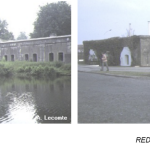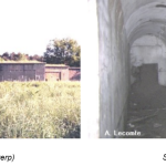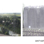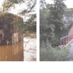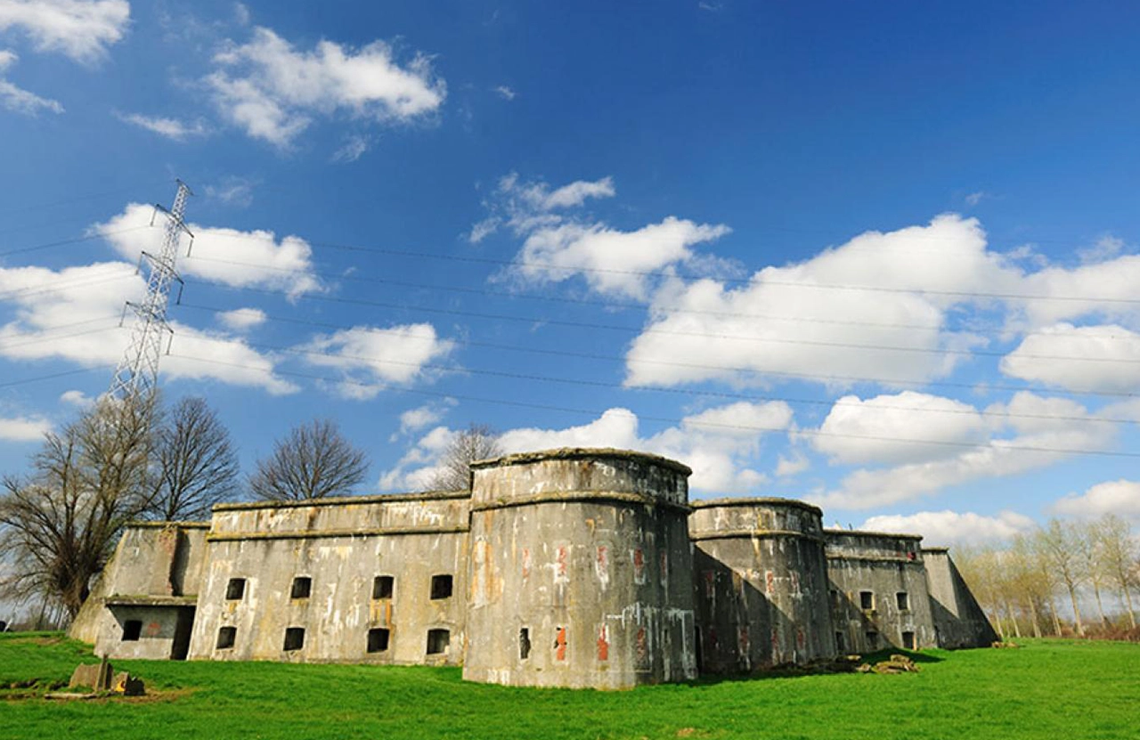
Looking back in history, we notice various strategic and structural defence techniques mainly used to protect territories. One unique technique was the Redoute or Redoubt (historically redout). This refers to a type of fortification system. It consists of a larger enclosure for defensive emplacement outside a fort. These structures were mainly built using earth, but sometimes stone or brick was also used. In the event that the main war is lost, or if loss is anticipated, the remaining forces of a nation may withdraw to a national redoubt. In order to act as a last resort to maintain national independence throughout the fight, a location with a defence-friendly topography—such as a peninsula or hilly area—is usually selected.
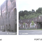
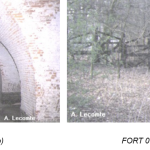
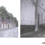
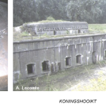
Built between 1859 and 1914, the Belgium National Redoubt was a 95-kilometer (59-mile) ring of forts encircling Antwerp, Belgium’s main port city. It had grown to 28 forts in two rings encircling the city by 1914.
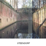
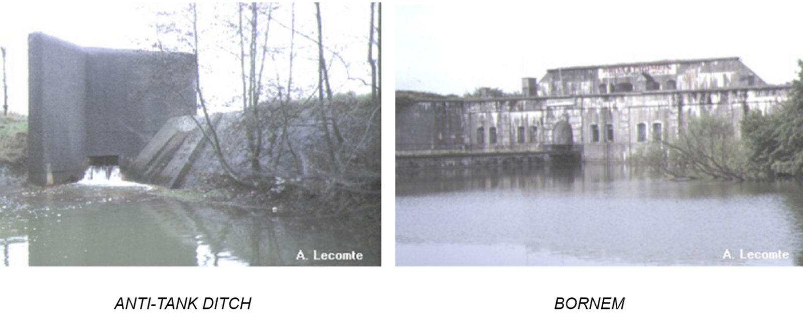
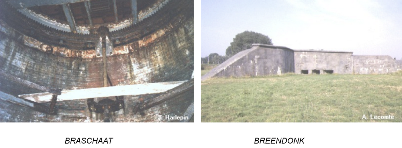
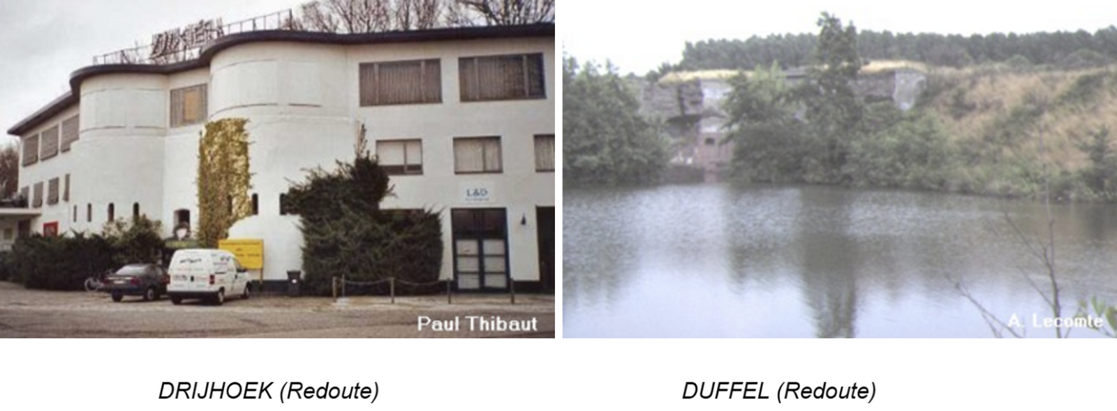
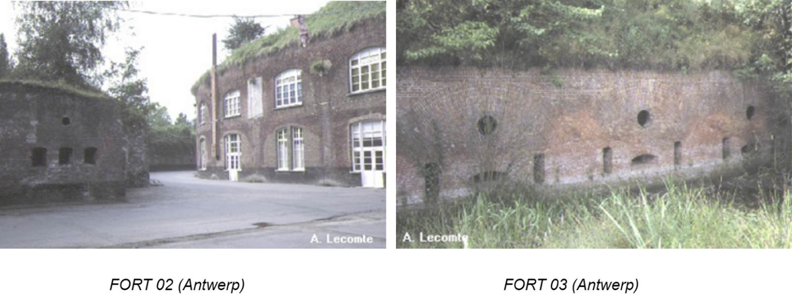
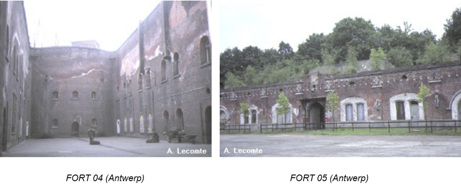
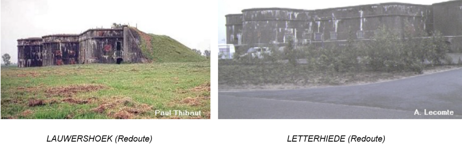
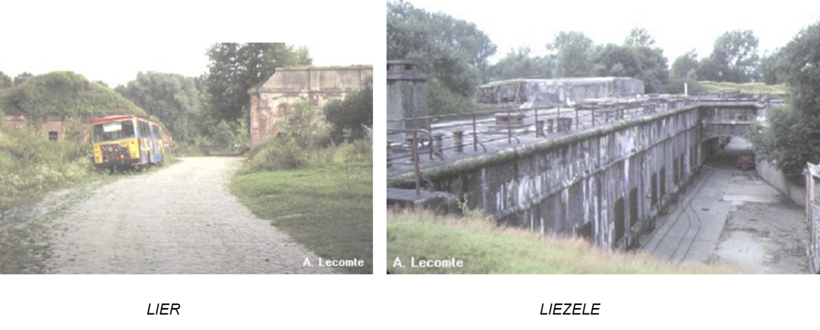
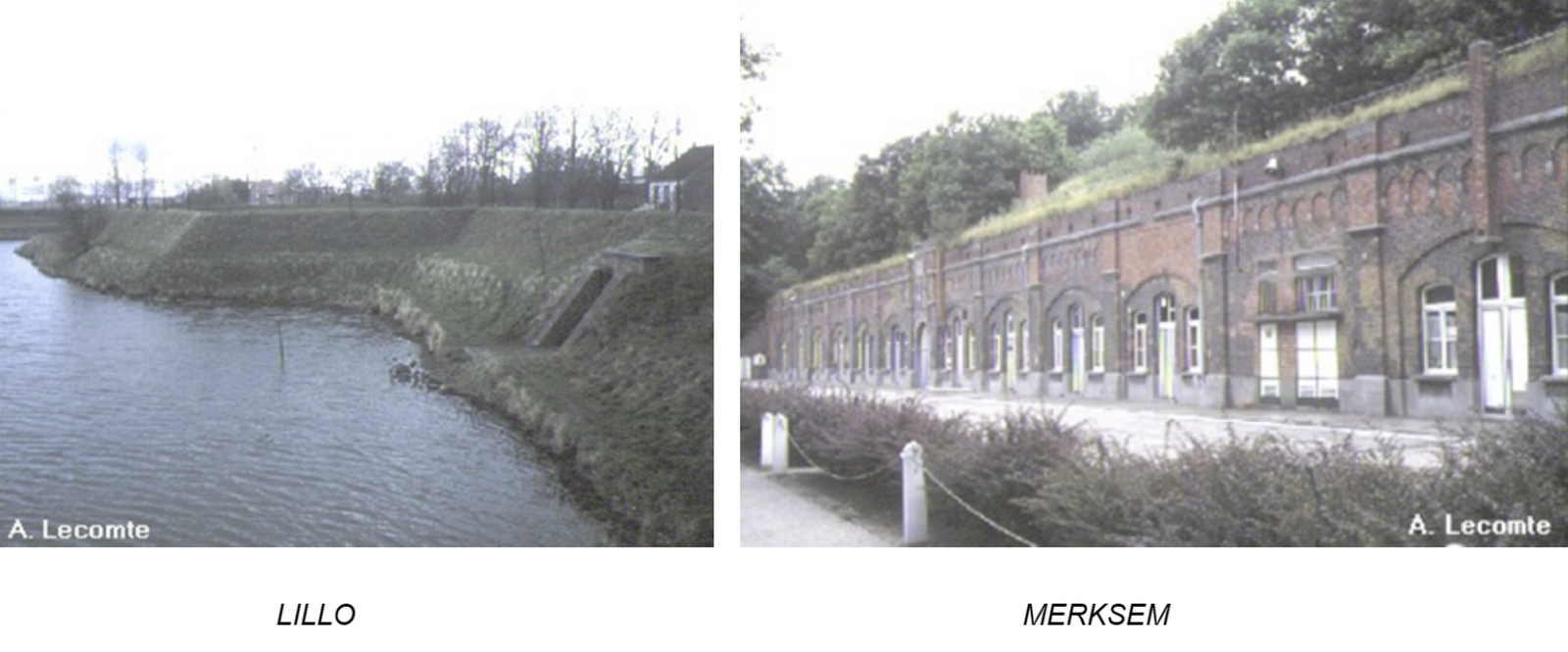
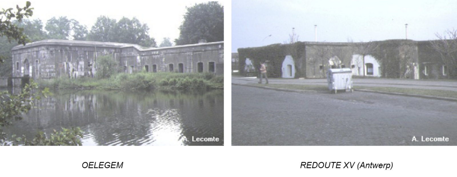
The fortifications of Antwerp represent a vast historical military network, cataloguing structures from the 16th-century Antwerp (Citadel) (1567), Liefkenschoek (1578), and Lillo (1578) to the modern Anti-Tank Ditch added in 1938. The core of the 19th-century “National Redoubt” includes the Brialmont Forts 01 through 08 (built 1861–1866) located in Wijnegem, Mortsel, Wilrijk, and Hoboken, as well as other major installations like San Maria (Sainte Marie) (1859–1861), Saint Philippe (1869–1881), Kruibeke (1870–1882), Zwijndrecht (1870–1882), Merksem (1871–1882), Walem (1875–1891), Lier (1878–1891), Steendorp (Rupelmonde) (1882–1892), Schoten (1884–1893), and Duffel (Spoorwegfortje) (1884–1893). This system was vastly expanded between 1906 and 1914 with the addition of Bornem, Braschaat, Breendonk, Broechem, Ertbrand, Haasdonk, Kessel, Koningshooikt, Liezele, Oelegem, S Gravenwezel, Stabroek, and Sint Katelijne Waver (1906–1912), along with the Ancaan (Andaan) redoubt (1907–1914). Supplemental defenses include the Berendrecht and Oorderen redoubts (1888–1893), the Kapellen redoubt (1888–1893), the La Perle (Perel) site (1869–1914), and specialized batteries like Blauwgaren, Kruisschans, and Prinsenhof (all 1910–1911). The network is further detailed by a series of numbered redoubts built between 1910 and 1913, including Redoute I through XVIII (with Redoute XV and XVI specifically noted), as well as several structures with unspecified dates like the Bosbeek, Dorpsveld, Drijhoek (Smoutakker), Landmolen, Lauwershoek, Letterhiede, Massenhoven, Puurs, Schilde, and Tallaart redoubts, the Noordkasteel, and the planned but never constructed Doel fort.
Following is detailed list of fort forming part of this National Redoubt (Just for Reference):
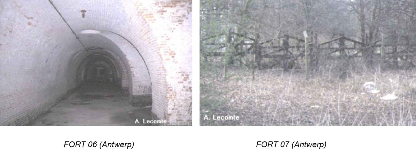
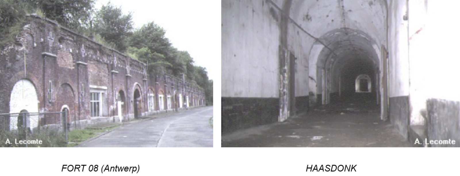
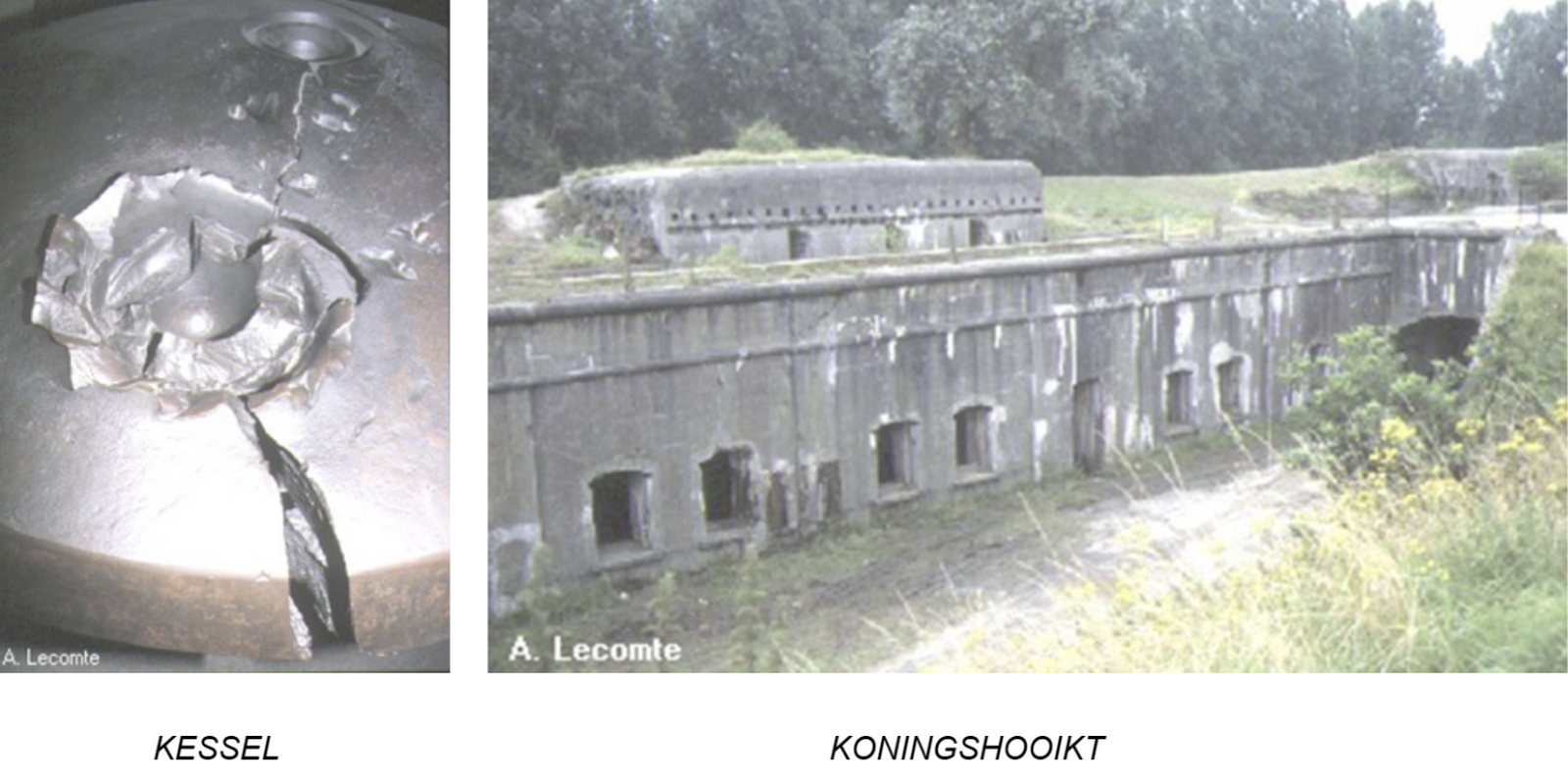
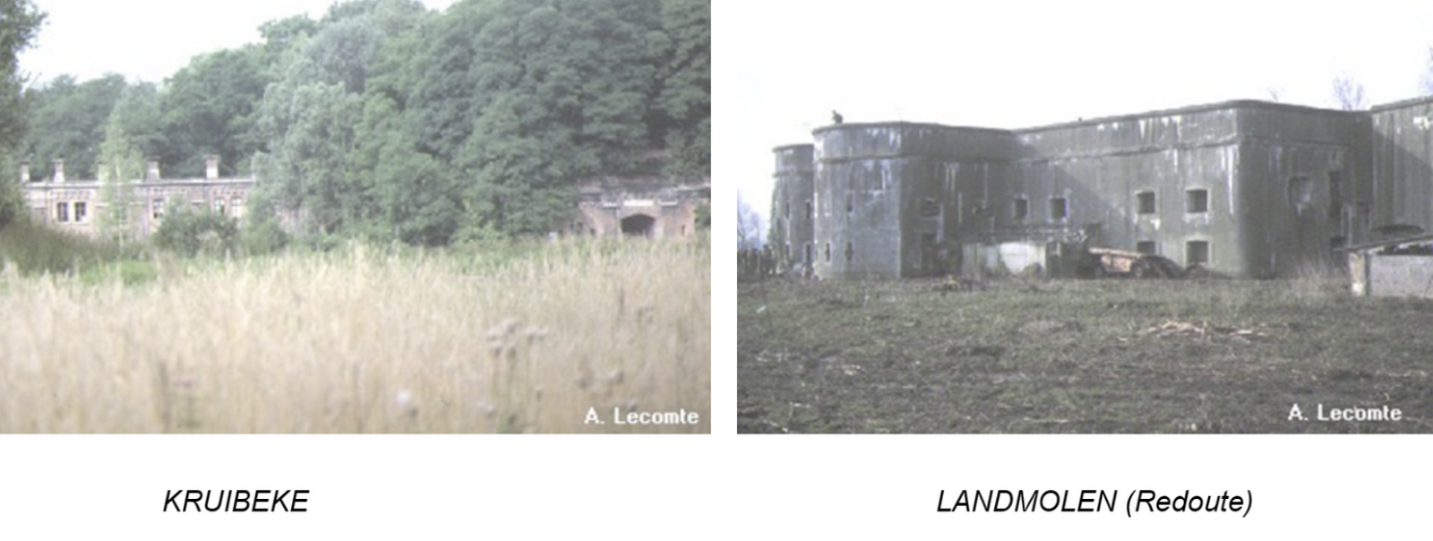
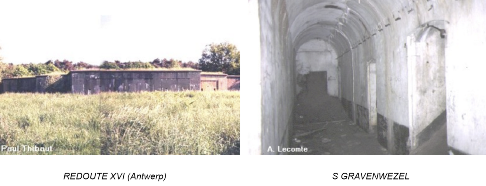
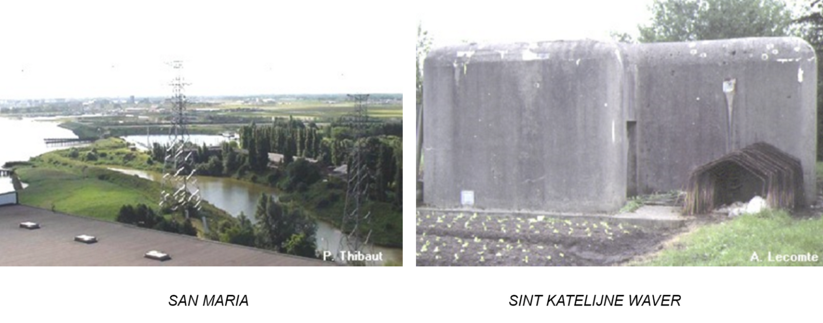
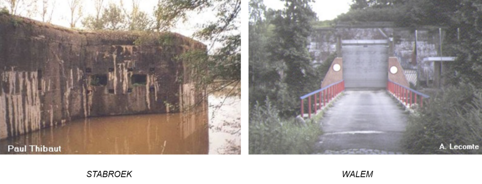
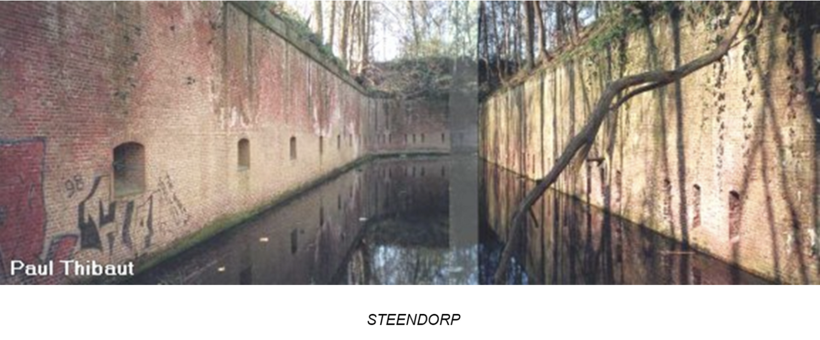
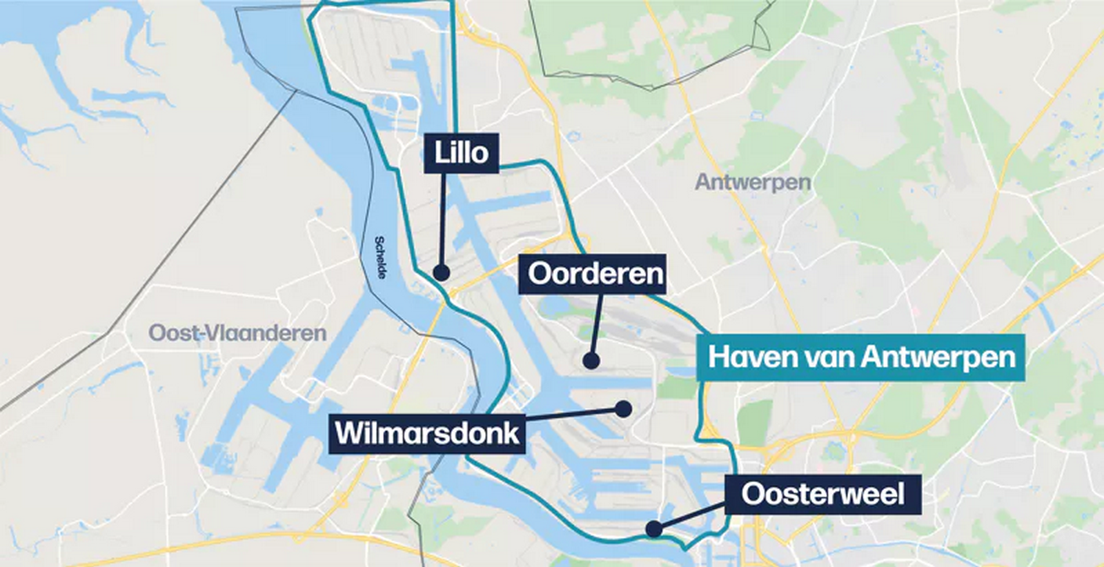
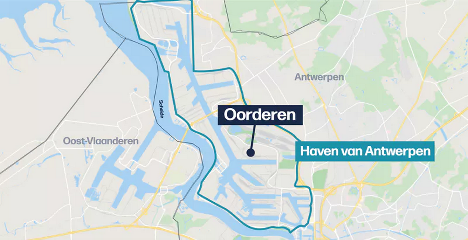
Historical Significance of Redoute d’Oorderen
The Redoute d’Oorderen has historical significance as part of Belgium’s multi-layered defence system centred on Antwerp in the 19th century. Despite being a smaller part of the main Antwerp forts along the defensive belt situated along bank of the Scheldt River, it was an important aspect of the nation’s survival strategy, reflected military modernization, and became interwoven with the broader story of European struggle and industrial revolution. Since it was determined that defending the entirety of Belgium would not be possible, the defence should concentrate on securing a portion of the country that could be held until assistance arrived from a power guaranteeing Belgian neutrality. Antwerp was selected for this purpose.
An element of the national defence strategy of Belgium
Following its independence in 1830, Belgium faced severe geopolitical turmoil as a new kingdom situated between major European powers. This led to a military strategy that established Antwerp as the country’s ultimate stronghold—the “National Redoubt.” The choice of Antwerp was motivated by its strong supply lines and defensive advantages.
In 1859, military engineer Henri Alexis Brialmont oversaw the construction of a ring of fortifications. The Redoubt of Oorderen was part of the enlarged outer defensive line. Its historical significance includes the following:
- Fortifying the approach to Antwerp from the northern boundaries.
- Providing extra layer of protection to the Scheldt’s and the nearby polders’ access points.
- Providing overlapping fire fields in order to support larger forts.
- During a prolonged siege this defence belt would act as extra defensive depth.
Rather than just been a stand-alone stronghold, it acted as an essential link which was part of carefully pre-planned intelligent defensive network.
An analysis of military modernization during 19th century
In 1872, the Rupel Neteline was suggested as a defence line, with the surrounding polders serving as inundation protection. In period between 1878 and 1905 three more redoubts (Oorderen, Berendrecht and Kapellen) were built respectively to defend the polders and the embankment built and the railway line to the Netherlands.
Redoute d’Oorderen symbolises the transformation in the European military strategy during the Industrial Revolution. Military engineers had to accommodate advancements in explosive shells and rifled artillery, which was reflected in design as well.
Its design demonstrated key changes:
- Adjustment made to design due to threats from long-range artillery.
- Increase in use of earth as a major construction material, which helped in absorbing impact.
- The creation of scattered defensive positions.
- Transition from imposing strongholds to simpler and functional structures.
This reflects Belgium’s constant historical efforts to maintain its military relevance in a rapidly modernizing Europe.
Strategic Role in the World War I
When Germany invaded Belgium in August 1914, Antwerp served as the main fall back location for Belgian soldiers. During the Siege of Antwerp (September–October 1914), the city’s defensive ring, which included auxiliary redoubts such as Oorderen, was part of an extensive resistance network.
Although the redoubt did not witness major independent battles, its historical significance during the conflict lies in:
- Contributing to the northern defensive perimeter.
- Supporting delaying tactics against German soldiers.
- Helping organize the departure of Belgian forces.
Between both wars
Although massive German siege guns eventually broke through Antwerp’s defences, the resistance effort slowed German advance and enabled Allied forces to regroup. In this context, the redoubt symbolizes Belgium’s determination to persevere against overwhelming odds.
Much of the retreat from the redoubt during the siege of Antwerp had been planned; the retreating forces frequently had time to either render the weaponry within the fortifications useless or, in the case of smaller structures such as sconces, destroy them before departing. Following the Belgian evacuation, much of the redoubt was in disrepair due to fighting damage and sabotage by retreating troops.
The occupying Germans repaired the redoubt and even added some modest improvements. This is especially true for the section of the outer ring that begins at the river Scheldt northwest of the city and extends to the north, because the Belgian fortifications were incorporated into a defensive line built by the Germans between Antwerp and Turnhout to protect occupied Belgium from an attack through the neutral Netherlands.
Following the war, the Belgians repaired and improved parts of the forts, including gas-proof rooms. However, there was no significant investment in reinforcing the country until 1934, when the threat posed by Nazi Germany refocused attention on defence.
By 1934, the fate of the national redoubt was already decided. The idea of forts used as the cornerstone of national defence had become out dated. The Oorderen redoubt, like many others, were decommissioned and stripped of its military relevance. The rapid evolution of military warfare especially the advancement of air power and mechanized armies—rendered static fortifications ineffective in the face of modern conflict.
Many of these forts remained under military control for decades, even though they were no longer used as defensive structures. Instead, they found new purposes as barracks, arsenals, storage depots, and even military gas facilities.
Architectural Significance of Redoute d’Oorderen
The Redoubt of Oorderen holds architectural significance as a representative example of late 19th-century military engineering within the fortified defence system of Antwerp. Though smaller than the major Brialmont forts, its design reveals important transitional features in European fortification architecture—particularly the adaptation to industrialized warfare and modern artillery.
Example of Polygonal Fortification Design
The redoubt reflects the polygonal system of fortification that replaced traditional star-shaped bastioned forts of earlier centuries. Influenced by 19th-century engineers such as Henri Alexis Brialmont, this system emphasized:
- Low, angular profiles rather than tall walls
- Flanking fire from caponiers instead of exposed bastions
- Concealment within the landscape
- Geometric layouts optimized for artillery coverage
Architecturally, this represented a major shift from vertical defensive monuments to horizontal, terrain-integrated structures.
Integration of Earthworks and Brick Construction
One of the redoubt’s most significant architectural characteristics is its extensive use of earthworks combined with brick masonry.
Earth Coverings
Thick layers of compacted earth were placed over structural elements to:
- Absorb and dissipate artillery impact
- Reduce fragmentation damage
- Camouflage the fortification
This marked an architectural adaptation to rifled artillery and explosive shells, which could easily destroy exposed stone walls.
Brick Casemates
Internally, brick vaulting provided:
- Structural strength under pressure
- Fire-resistant shelter for troops
- Ammunition storage spaces
The use of brick—rather than solely stone—illustrates the growing industrialization of construction materials during the period.
Moat and Hydraulic Engineering
The surrounding moat was both defensive and functional. Architecturally, it:
- Created a physical barrier against infantry assault
- Controlled water levels through integration with local polder systems
- Reflected advanced hydraulic planning typical of lowland fortifications
The redoubt’s siting in a polder landscape required careful management of drainage and flooding—demonstrating how military architecture was adapted to environmental conditions.
Compact Defensive Typology
Unlike large detached forts, the Redoubt of Oorderen was designed as a supporting defensive node. Its architectural importance lies in:
- Its smaller footprint
- Concentrated firepower positions
- Efficient internal circulation
- Interconnection with other forts via overlapping fields of fire
This compact typology represents a modular approach to defence planning. Each redoubt functioned as part of a coordinated architectural network rather than as an isolated stronghold.
Transitional Phase in Fortification Technology
The redoubt occupies an important architectural moment between:
- Masonry-dominated fortresses of the early 19th century
- Reinforced concrete forts of the late 19th and early 20th centuries
While it still relied heavily on brick, its earthen protection anticipated the later widespread adoption of reinforced concrete. This transitional quality gives the structure architectural significance as a bridge between traditional and modern military construction.
Landscape Integration and Camouflage
Architecturally, the redoubt was intentionally low-profile. It was designed to blend into the flat terrain north of Antwerp. This early example of military camouflage shows:
- Sensitivity to topography
- Use of sloped embankments rather than vertical walls
- Reduced visibility from a distance
Such integration into the landscape marks a departure from earlier fortress architecture, which often emphasized monumentality.
Industrial Context and Architectural Transformation
As Antwerp’s port expanded in the 20th century, the redoubt became enveloped within an industrial harbour environment. Architecturally, this transformation adds another layer of significance:
- Military design juxtaposed with industrial infrastructure
- Partial alteration and adaptation of original structures
- Evidence of how defensive architecture can be absorbed into modern urban development
This layering enhances its value as a document of changing architectural priorities—from defence to commerce.
Cultural Significance of Redoute d’Oorderen
The Redoubt of Oorderen is more than a military architecture; it stands as a powerful symbol of loss, resilience, and the lingering presence of a community sacrificed for economic progress. While its military and architectural features represent the “hardware” of the site, its true cultural significance lies in the soul of the landscape it anchors.
The Great Erasure: A Martyred Landscape
Today, the Redoubt of Oorderen is the last physical “anchor” from a landscape that was almost entirely erased during the port expansion of the 1960s.
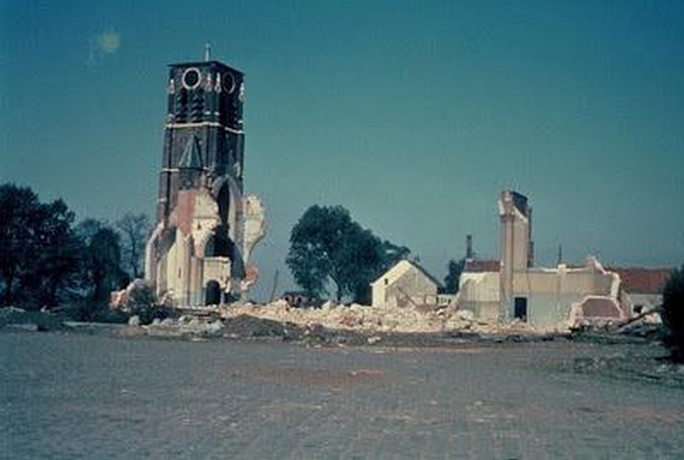
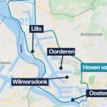
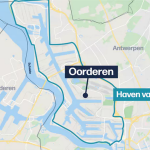
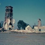
Sacrifice for Progress: In the 1950s, Antwerp’s ambitious “Ten Year Plan” for port development called for the destruction of four polder villages: Wilmarsdonk, Oosterweel, Lillo, and Oorderen. Oorderen was at the heart of this region, and its demolition was more than just the loss of buildings—it meant the disappearance of a 900-year-old community and way of life.
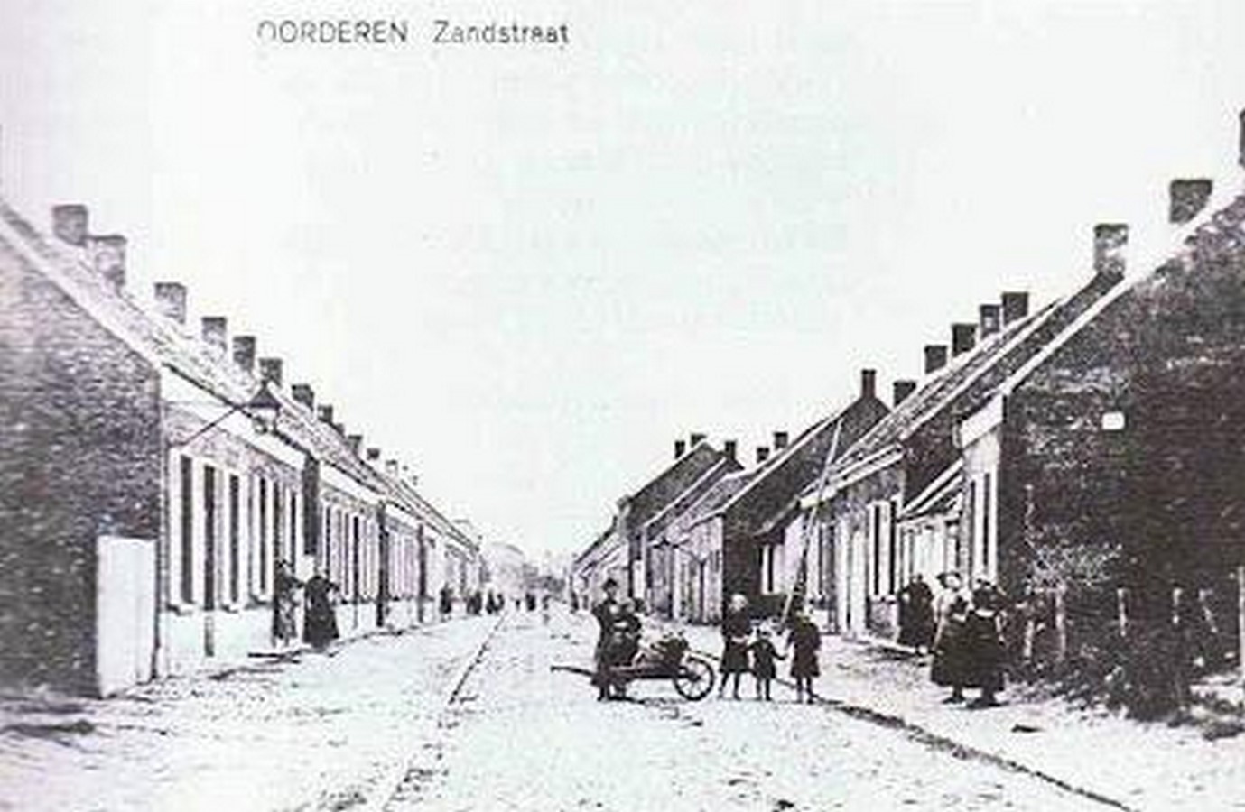
The Physical Void: Unlike cities that gradually evolve, Oorderen was abruptly “excavated.” Homes were demolished, and the very ground on which they stood was dug out to create Churchill Dock. In this context, the Redoubt is the “non-negotiable” remnant—the stubborn piece of earth that refused to vanish. It offers a tangible sense of scale for what was lost: standing at the Redoubt, you find yourself on the original polder level, while the surrounding port rises several meters above on artificial sand.
The Redoubt as a Locus of Memory
For the so-called “Polder people”—the original residents and their descendants—the Redoubt has evolved from a military fort into a secular shrine.
The Last Grave: With the church and cemetery gone, the Redoubt is now the only place where descendants can stand on the ancestral soil of Oorderen. Many refer to it as a “cenotaph” for the vanished village—a symbolic grave for a community that no longer exists.
The “Berghoeve” Connection: The cultural memory of Oorderen now lives on in two places:
The Redoubt: The last remaining site of the original village.
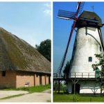
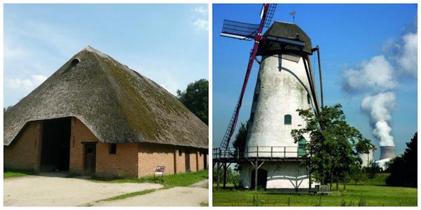
Bokrijk Open-Air Museum: Where the 17th-century Berghoeve Barn from Oorderen was relocated. Together, these two locations represent a kind of diaspora, keeping the spirit of the village alive in separate places.
Literary and Artistic Inspiration: The erasure of Oorderen has left a deep mark on Flemish literature and art, inspiring countless works that reflect on “polder melancholia.” The Redoubt has become a favorite subject for writers and photographers, symbolizing a space reclaimed by nature and memory, surrounded by the relentless progress of industry.
Reference List
Welcome To Zscaler Directory Authentication. (2026). Fandom.com. https://military-history.fandom.com/wiki/National_redoubt_of_Belgium
1965, News: The End for Oorderen. (2026, February 15). Blogspot.com. https://avengers-in-time.blogspot.com/2012/09/1965-news-end-for-oorderen.html
Pre-war Military Planning (Belgium) / 1.0 / handbook – 1914-1918-Online (WW1) Encyclopedia. (2024, July 9). 1914-1918-Online (WW1) Encyclopedia. https://encyclopedia.1914-1918-online.net/article/pre-war-military-planning-belgium/
fabel, H. (2016, November 7). The lost villages of Antwerp. Amazingbelgium.be; Blogger. https://www.amazingbelgium.be/2016/11/the-lost-villages-of-antwerp-port.html
Documentatiecentrum van de Antwerpse Noorderpolders | Antwerpen. (2025). Antwerpen. https://www.antwerpen.be/info/54eb23b9afa8a7a9708b48d5/documentatiecentrum-van-de-antwerpse-noorderpolders
Welcome To Zscaler Directory Authentication. (2026). Oosterweelverbinding.be. https://www.oosterweelverbinding.be/nieuws/archeologen-ontdekken-fundamenten-van-17de-eeuws-fort-piementel-en-houten-constructie-uit
VRT NWS. (2022, March 31). Haven van Antwerpen spaart Doel, maar slokte 4 andere polderdorpen ooit wél op: wat schiet er nog van over? | VRT NWS: nieuws. VRTNWS; VRT NWS. https://www.vrt.be/vrtnws/nl/2022/03/30/verdwenen-polderdorpen-oosterweel-wilmarsdonk-oorderen-en-lill/
Antwerpen Vroeger & Nu | **Oorderen** is een [verdwenen dorp](https://nl.wikipedia.org/wiki/Verdwenen_dorpen_in_Vlaanderen) ten noorden van [Antwerpen](https://nl.wikipedia.or… | Facebook. (2026). Facebook.com; Facebook Groups. https://www.facebook.com/groups/1382161428701535/posts/4056267041290947/
Polderke. (2020, June 29). Herinneringen aan Oorderen | Polderke. Polderke. https://www.polderke.com/herinneringen-aan-oorderen/
The Brussels Times. (2026). Brusselstimes.com. https://www.brusselstimes.com/1272595/discovering-the-hidden-traces-of-fortress-antwerp
FORTIFICATIONS BUILT BY BELGIUM. (2026). Allec.fr. https://www.allec.fr/02A0.htm
Antwerp – Belgium’s National Redoubt. (2014, September 14). Bart Busschots. https://www.bartbusschots.ie/s/2014/09/14/antwerp-belgiums-national-redoubt/