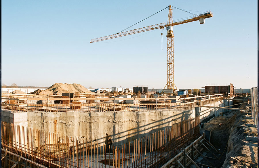
A well-surveyed site sets the foundation for a project that stays on schedule and on budget.
Architecture spends most of its energy on what people can see. Facades, massing, materials, light. But the decisions that most often blow up a project’s timeline and budget happen a few feet underground, long before anyone pours concrete. Site assessment used to mean soil composition and drainage. Now it means knowing exactly what’s buried beneath the lot, from abandoned utility lines to old foundations nobody documented.
Design teams who skip that step aren’t just risking a delay. They’re taking on unnecessary financial risk with a cost structure that has become far more punishing than most architects realize.
The Hidden Cost of Building Blind
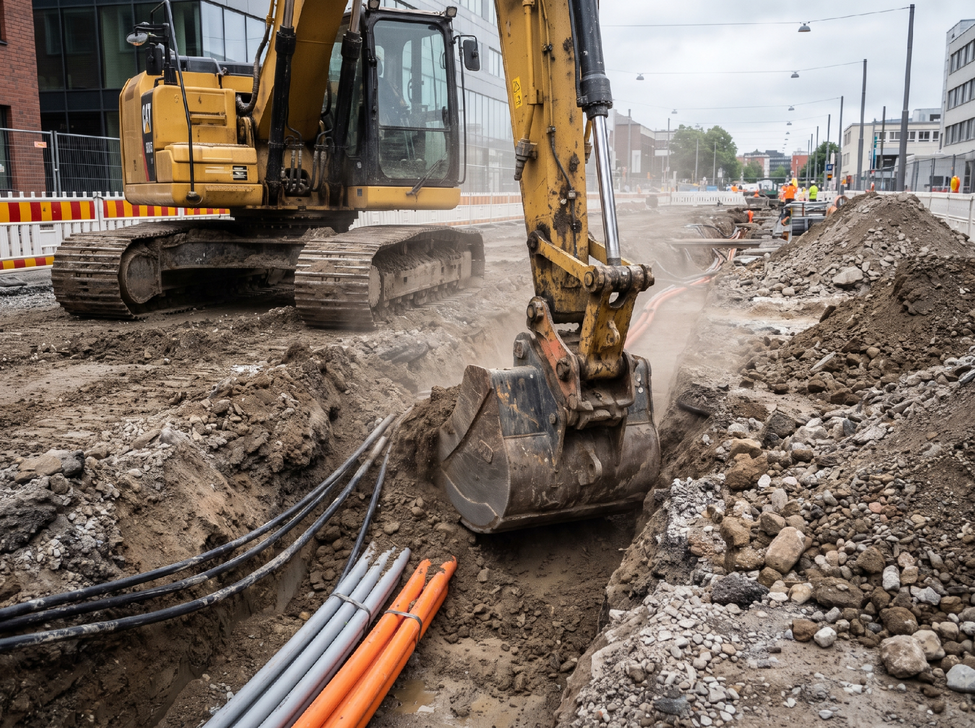 An excavation crew works near buried utility lines, the kind of hazard pre-construction surveys are designed to catch before it becomes a costly incident.
Underground utility damage now costs the U.S. economy an estimated $83.2 billion a year, according to the Common Ground Alliance’s “Between the Lines” report, published August 2026. That figure comes from roughly 669,000 modeled damage incidents in 2025 alone, and it nearly triples the $30 billion benchmark the industry cited for years. The jump isn’t because contractors got careless. It’s because researchers finally accounted for the full economic tail of a strike.
That tail is longer than most people assume. Direct repair costs make up just 5.9% of the total impact, per the same CGA report. For every dollar spent fixing a severed line, nearly sixteen more disappear into business interruption, construction delays, emergency response, and road closures. A single strike on a busy corridor can stall a project for weeks while crews wait on utility companies to confirm what got hit and what else might be nearby.
The Common Ground Alliance also tracks how often this happens: a buried utility line gets damaged every six minutes somewhere in the country, usually because someone dug without calling 811 first. With more than 100 billion feet of buried utilities crisscrossing the ground beneath American cities, the odds of hitting something unmapped are not small.
This is exactly why more architecture and engineering firms are commissioning gpr scanning during pre-construction, well before design finalization locks in a building’s footprint. Ground-penetrating radar lets survey teams map utilities, voids, and subsurface obstructions non-invasively, without digging a single test pit. A firm working on an infill lot in an older neighborhood, for instance, might use it to confirm whether a century-old coal chute or an unrecorded gas line sits exactly where the new foundation is supposed to go. Finding that out on paper costs a few thousand dollars. Finding it out with an excavator costs a lot more.
How Subsurface Data Is Changing Site Design
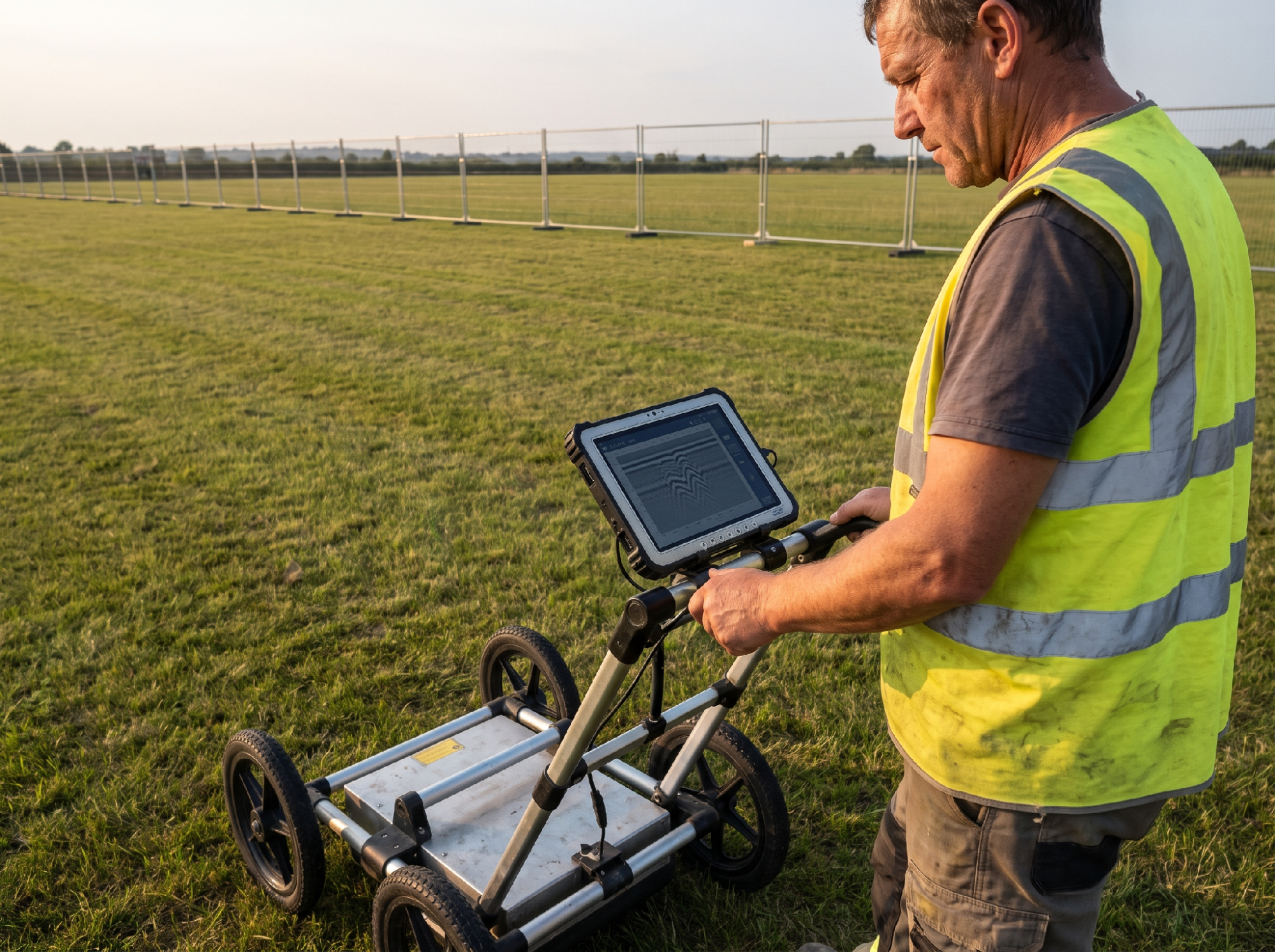 A ground-penetrating radar unit maps subsurface conditions before excavation begins.
Subsurface mapping used to be a construction-phase task, something contractors handled after the design was already locked. That sequence is reversing. Firms now treat utility and void mapping as an input to the design itself, not a downstream check on it.
Building placement, orientation, and even massing decisions increasingly account for what a radar scan reveals underground. If a scan shows a legacy storm drain running diagonally across a lot, that changes where the structural core can go. It’s a very different exercise from evaluating a site before design begins using only topography and soil borings, which tell you almost nothing about what’s actually buried a few feet down.
This shift isn’t a fringe practice anymore. Construction and infrastructure remained the largest end-user segment of the ground-penetrating radar market in 2025, with roughly 66% of operators adopting GPR systems for non-invasive subsurface detection, according to Global Market Insights’ GPR Market Analysis 2025-2035. That adoption rate tells you this has moved from a specialty service into a standard line item on serious pre-construction budgets.
From Survey to Blueprint: Where GPR Fits in the Pre-Construction Timeline
The practical sequence looks something like this: site assessment, then subsurface scanning, then utility and void mapping, then foundation engineering, then design lock. Skipping straight from assessment to foundation engineering is how projects end up redesigning a footing detail three weeks into construction because nobody knew a utility easement sat exactly where the pile caps were supposed to land.
Getting that sequencing right matters for early-stage project planning beyond just avoiding rework. Excavation and trenching standards set specific requirements for how crews must handle unknown or unmapped underground hazards once digging starts, and those requirements get a lot easier to satisfy when the hazards were already identified during design. A team that scans first walks into the permitting and safety-review process with answers instead of assumptions.
Foundations Built on Certainty, Not Guesswork
Foundation selection is where subsurface data earns its keep most visibly. Sloped sites, coastal or flood-prone lots, and dense urban infill with decades of undocumented utility work all carry different risk profiles, and each one benefits from knowing exactly what’s underground before committing to a system. The foundation selection process for a downtown infill parcel looks nothing like it does for a greenfield suburban lot, and subsurface scans are often the deciding factor between a slab, a pier system, or a deep foundation.
Yet the gap between best practice and common practice is still wide. A 2025 Common Ground Alliance homeowner survey found that 27.2 million Americans planning to dig in the next year will not contact 811 first, putting themselves and their projects at risk. That’s a residential figure, but it reflects a broader cultural habit of treating underground conditions as an afterthought rather than a design input. Professional-grade tools close that gap for projects where the stakes, and the budgets, are much higher than a backyard fence post.
Building With Full Knowledge, Not Half a Picture
The projects that stay on schedule and on budget increasingly share one trait: someone knew what was underground before the first shovel went in. That’s no longer an aspirational best practice reserved for large infrastructure jobs. It’s becoming a baseline expectation for any firm serious about protecting a client’s timeline and budget.
Architecture will always be judged by what rises above the ground. But the work that keeps those buildings on schedule happens well before that, in the decisions made about what’s buried beneath it.