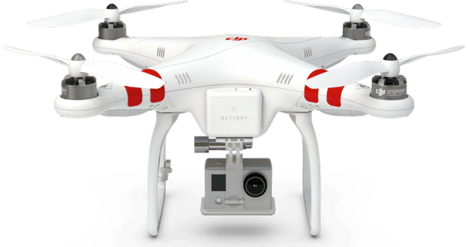
The drone is an unmanned aerial vehicle (UAV). These drones are usually used on the sites, for getting aerial views, sometimes used for military purposes in combat zones. These drones have no mechanical difficulties. These also can be controlled from any part with about a certain distance. UAV drones are constantly evolving as new innovation and big investment is bringing more advanced drones every day in the market. The most popular drones in the market are the DJI Phantom series. These drones are very popular for its clarity but at the time also for its capturing skills where these drones are most of the time best in capturing aerial views. They also have one of the top drone technologies in the market today.
How these drones work
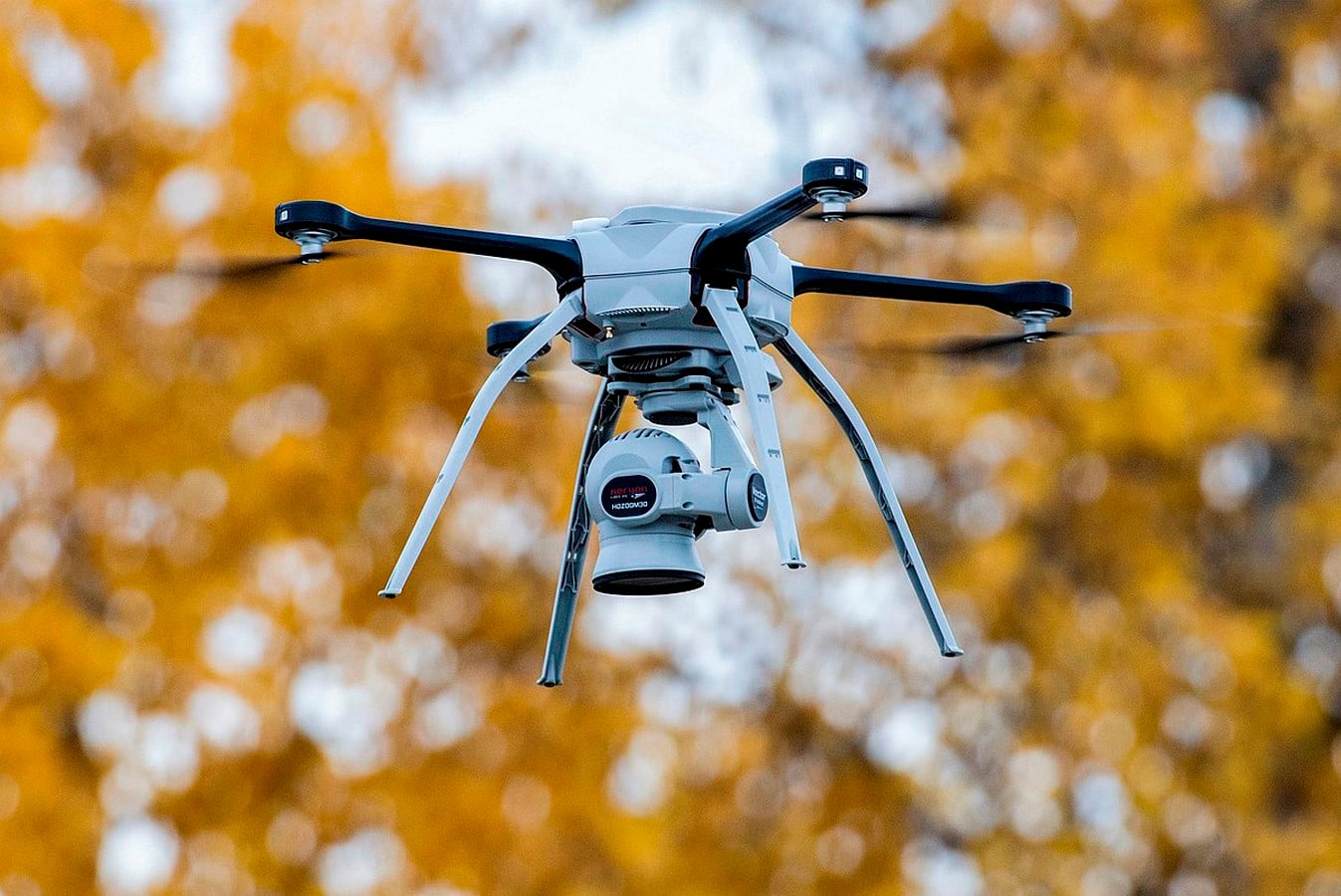
These drones are made of lightweight composite materials to reduce the weight and increase the manoeuvrability. This will also help in capturing from the high altitudes. These drones are equipped with different technology such as an infrared camera, GPS tracking system and lasers which are not just used by the architects but also in various other fields. The drones are controlled from the ground because of which it’s called the ground cockpit. The nose of this place is where exactly the navigational systems are present and the remote provided is where we can use the camera on the drones to see what exactly is happening above. The rest of the body is where there is no space required to accommodate humans. These are designed in such a way that they absorb vibrations, which decreases the sound produced on the air. The material used is light in weight. There are a wide variety of sizes available depending on the purpose of using these drones, based on what, when and where exactly we would be using this.

How drones can help architects in future
Technology is empowering architects from the concept to completion there is a process that is followed and each step is different from the other. Drones can do a lot more than just click Aerial view pictures, they also help in capturing the perspective, the site, constructions all around the site. Drones are used by contractors in larger firms to survey the site, track the project progress, and also helps with monitoring resources. The drone is not a new concept it is more about how technology is developed with time by adding on extra features.
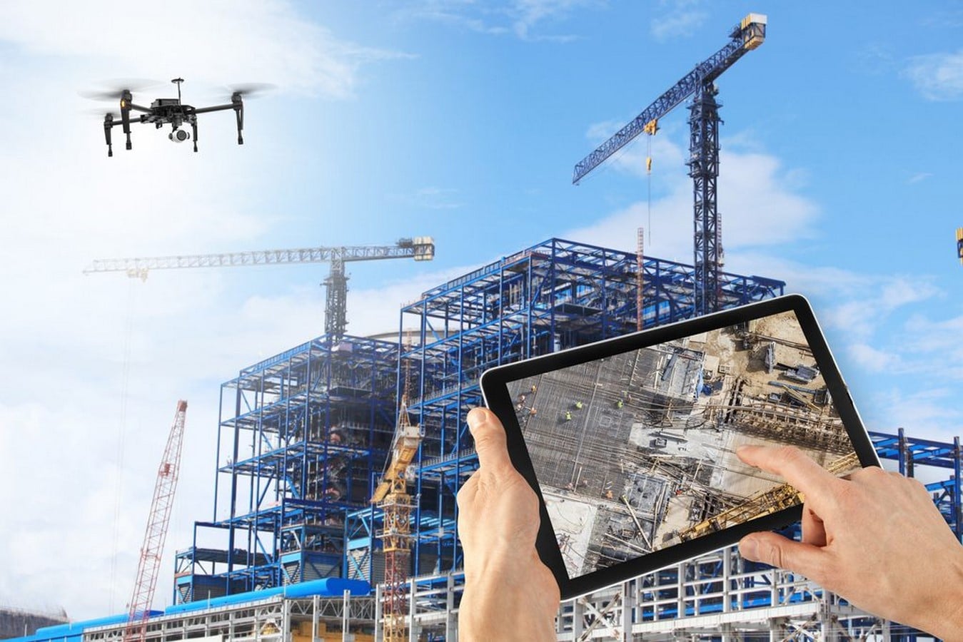
Using the images from the drone can then be stitched together to create a full-color digital model of the site. It’s a lot easier to fly a drone over the miles that span mountains which will be easier to send to the survey team. For now, drones have great potential when it comes to several aspects of the profession. It could be a while before when we see everything done based on the drones. Drones usually contribute a lot and give a great deal in surveying buildings sites, by collecting useful data before the construction of the building. In the United States of America, people use drones in the commercial and consumer sectors. As architects, we depend on the satellite map for the larger views for the site planning is important but at the same time, drones help with giving lower resolution images which can be used for the planning and understanding of the site better. This also helps in giving accurate value. These drones can also be used in architectural firms especially for start-ups because it helps in the elimination of land surveyors for creating the topographic surveys. Instead of using this information to build inaccurate 3D models of the site, we can directly import them directly into drafting models and software for further analysis.
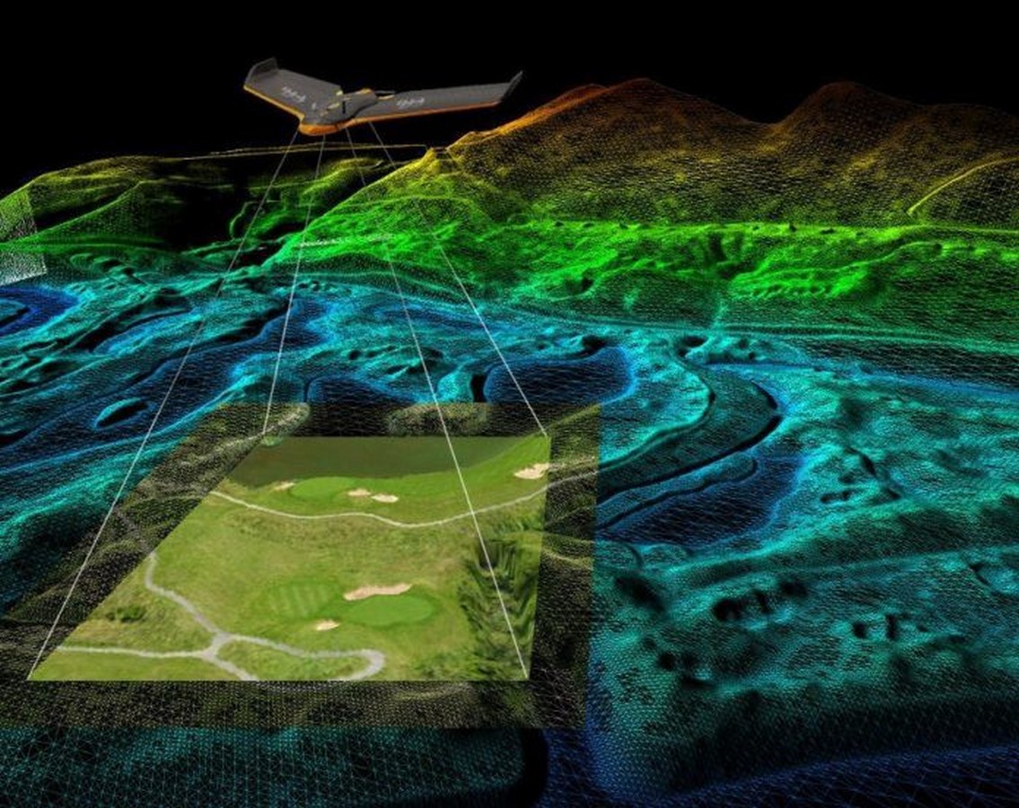
These drones are mainly used by the larger AEC firms like AECOM (Architecture, engineering, construction, operations, and management). Nowadays, it’s common to use drones to get different views and photography buildings from the sky. Drones are transforming completely in the way construction firms work. Images captured in a powerful camera. These cameras help in getting pictures that can be stitched together to create a full-color digital model which will be so much better than traditional surveying techniques. If you are interested in using drones and you aren’t ready to buy the drones, there are companies that offer these drones which help in keeping the Data collected. Some of these companies are Kespry and senseFly. This helps even with the 3D scan of the buildings which as a resolution gets better. This also helps with the construction progress. Drones are even used in places to see how much raw materials like sand or gravel is on the site. Drones also help with the monitoring of temperature and other material properties.