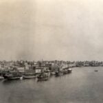
Dubai’s urban development traces back to the Creek. The waterway connected the settlement to the Arabian Gulf and wider trading networks. At the same time, its banks provided the setting for the communities, houses and commercial activities from which the city grew. By the nineteenth century, Dubai was developing as a maritime settlement, with pearling and trade helping to establish its position along the Gulf.
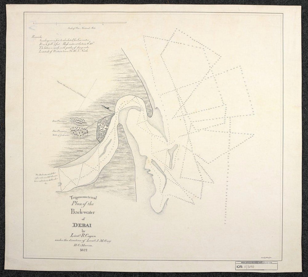
The settlement took shape on both sides of the Creek, with Deira and Bur Dubai developing as distinct but interconnected centres, while Al Shindagha occupied a strategic position near the entrance to the waterway. Movement between land and water was fundamental to everyday life. Boats connected the two banks; trading activities gathered near the waterfront; and the Creek provided both a route into the settlement and a point of connection with places beyond it.
By the early twentieth century, the Creek’s role extended beyond the immediate needs of the settlement, connecting Dubai to changing networks of transport and commerce. The question of how to maintain its navigability would bring engineers and administrators to examine the waterway in increasingly technical terms. In the documents that followed, the Creek would begin to appear as the geographical foundation of the city.
1. Creek-centred settlement (1939–1941)
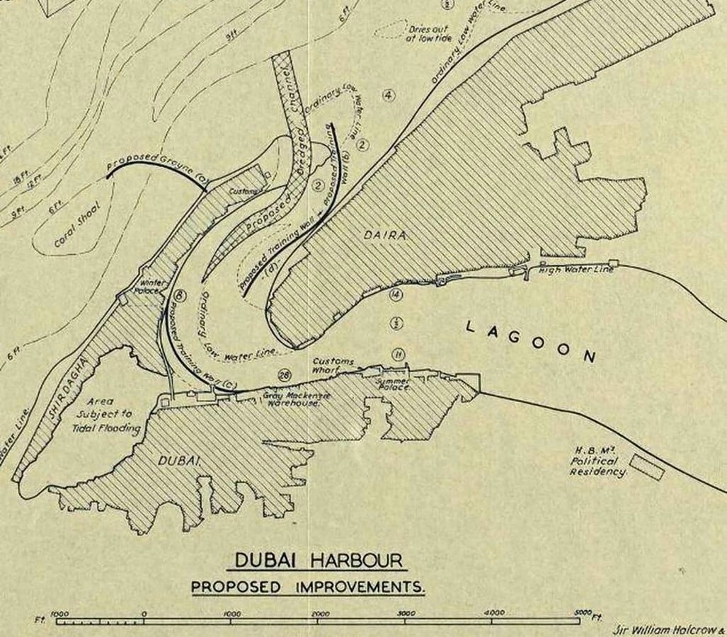
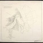
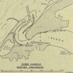
Dubai’s early urban development was being documented through the requirements of navigation and trade. The 1939–1941 file concerning the silting of Dubai Creek offers a detailed example of this early form.
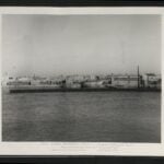
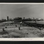
Whitteron’s 1941 survey identifies navigable channels, shallow waters, the Hattai Bank and buildings along the Creek, including the BOAC jetty, Gray Mackenzie buildings and Shindagha Palace. Its principal concern was the relationship between water depth, navigation and infrastructure. The Creek appears as a system whose physical conditions had to be measured and managed to maintain its function.
The accompanying correspondence reveals that proposed interventions could generate consequences beyond their immediate location. Engineering measures intended to redirect tidal flows risked creating additional silting elsewhere, potentially threatening the very channel they were intended to protect. So, the document reveals an early awareness of the interdependence of infrastructure and the wider urban environment.
The map also connects Dubai to networks extending beyond the settlement itself. The investigation was linked to the use of the Creek by British Overseas Airways Corporation flying boats travelling along the Arab coast. Local geography was consequently being assessed in relation to wider systems of transport and communication.
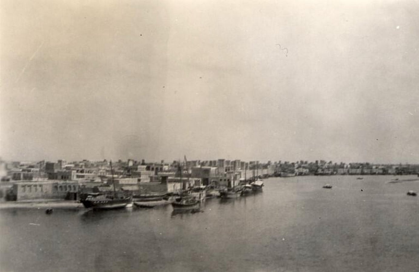
2. Dubai’s urban expansion (1960–1971)
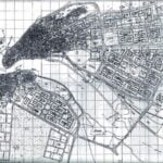
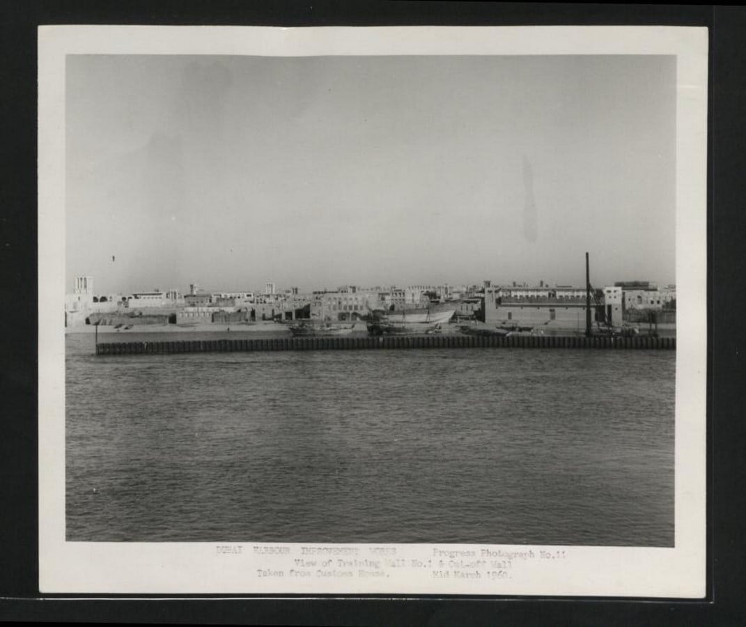
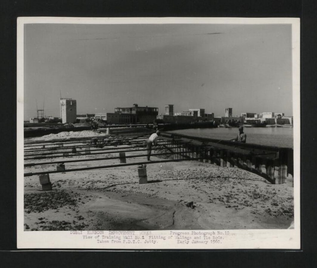
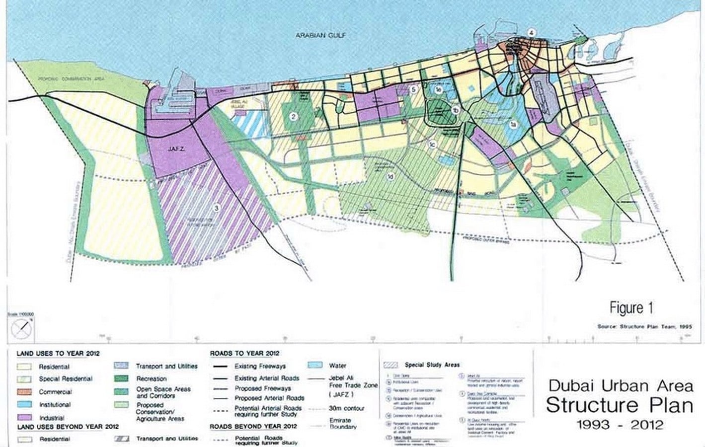
The emergence of formal town planning in Dubai marked a shift from documenting particular infrastructural conditions to coordinating the future development of a larger urban territory. The town plan commissioned under Sheikh Rashid bin Saeed Al Maktoum and presented by John R. Harris in 1960 represented an important step in this transition. The town plan addressed the organisation of urban growth: roads, neighbourhoods, commercial areas and community facilities formed part of a broader spatial framework.
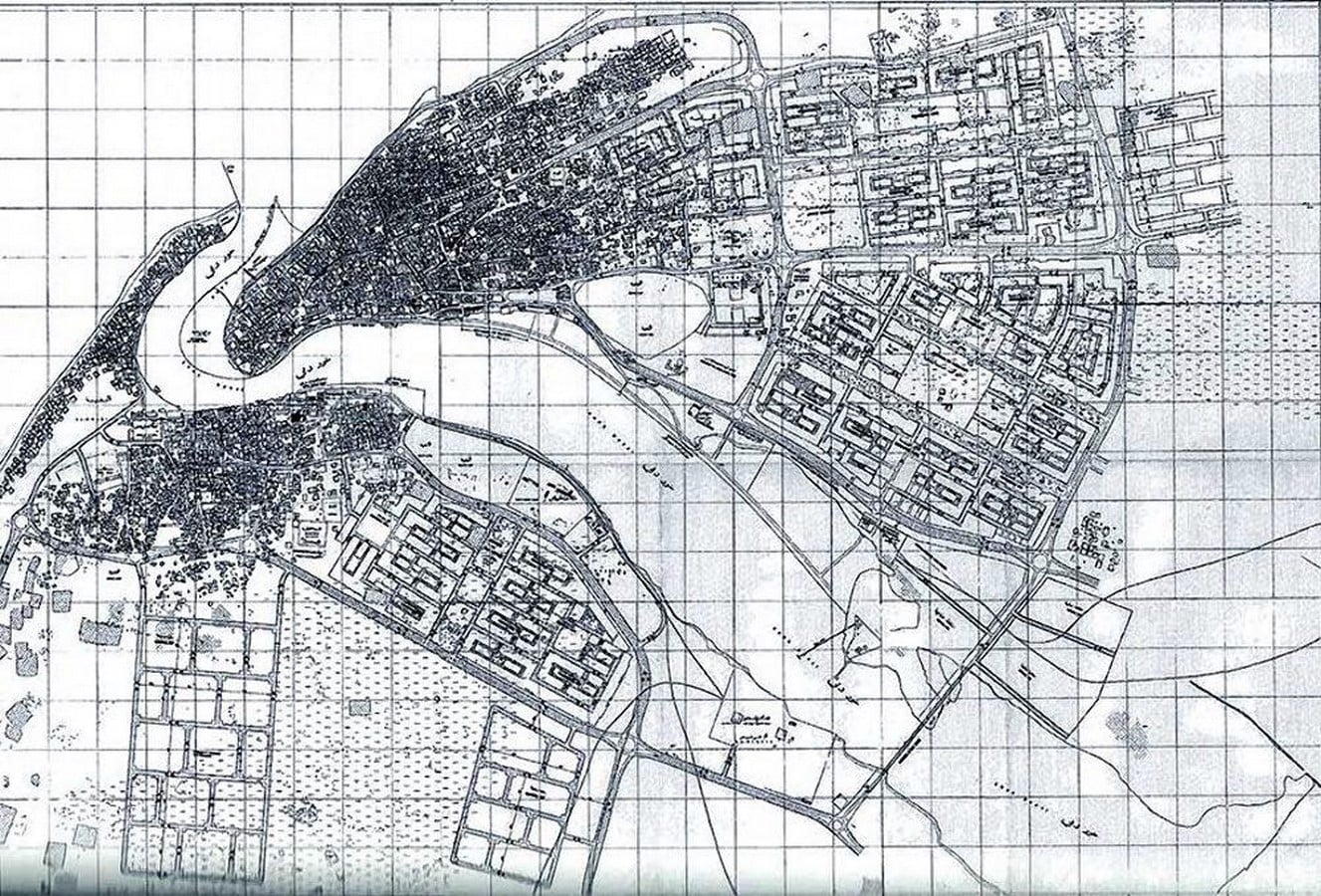
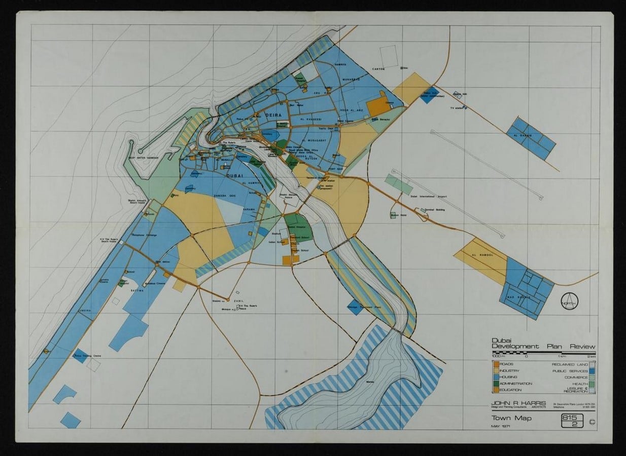
The Dubai Development Plan Review of May 1971 extended this approach. Its road hierarchy and land-use designations projected expansion beyond the existing urban core while retaining the Creek as an important organising feature. The plan attempted to make future growth comprehensible through a spatial framework: roads could structure movement, designated areas could accommodate different activities, and urban expansion could be directed.
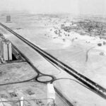
As architectural historian Todd Reisz has argued in his research on Dubai in 1971, the plan was both accepted and refuted. Expansion increasingly followed the Abu Dhabi road, later known as Sheikh Zayed Road, shifting the geography of urban development beyond the plan’s emphasis on the Creek.
3. Dubai World Trade Centre: the architectural project as a turning point (1973–1979)
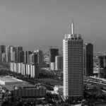
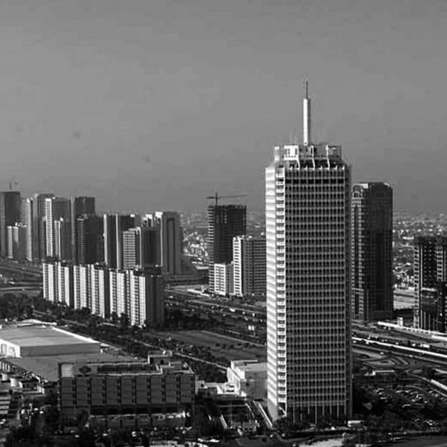
The Dubai World Trade Centre marked a turning point in the city’s development, translating its ambitions as an international trading hub into a new architectural scale. Commissioned by Sheikh Rashid bin Saeed Al Maktoum and designed by John R. Harris, the project emerged alongside the expansion of Dubai’s ports, airport and commercial infrastructure.
Initially conceived as a horizontal complex of connected, low-rise buildings, the scheme was subsequently redesigned around a tower, reflecting Sheikh Rashid’s preference for a more prominent vertical landmark. Completed in 1979, the 39-storey Rashid Tower became Dubai’s first major high-rise and one of the tallest buildings in the region at the time. Its location beyond the historic centre around Dubai Creek signalled a shift in the geography of urban development, anticipating the growth of Sheikh Zayed Road as a major commercial corridor.
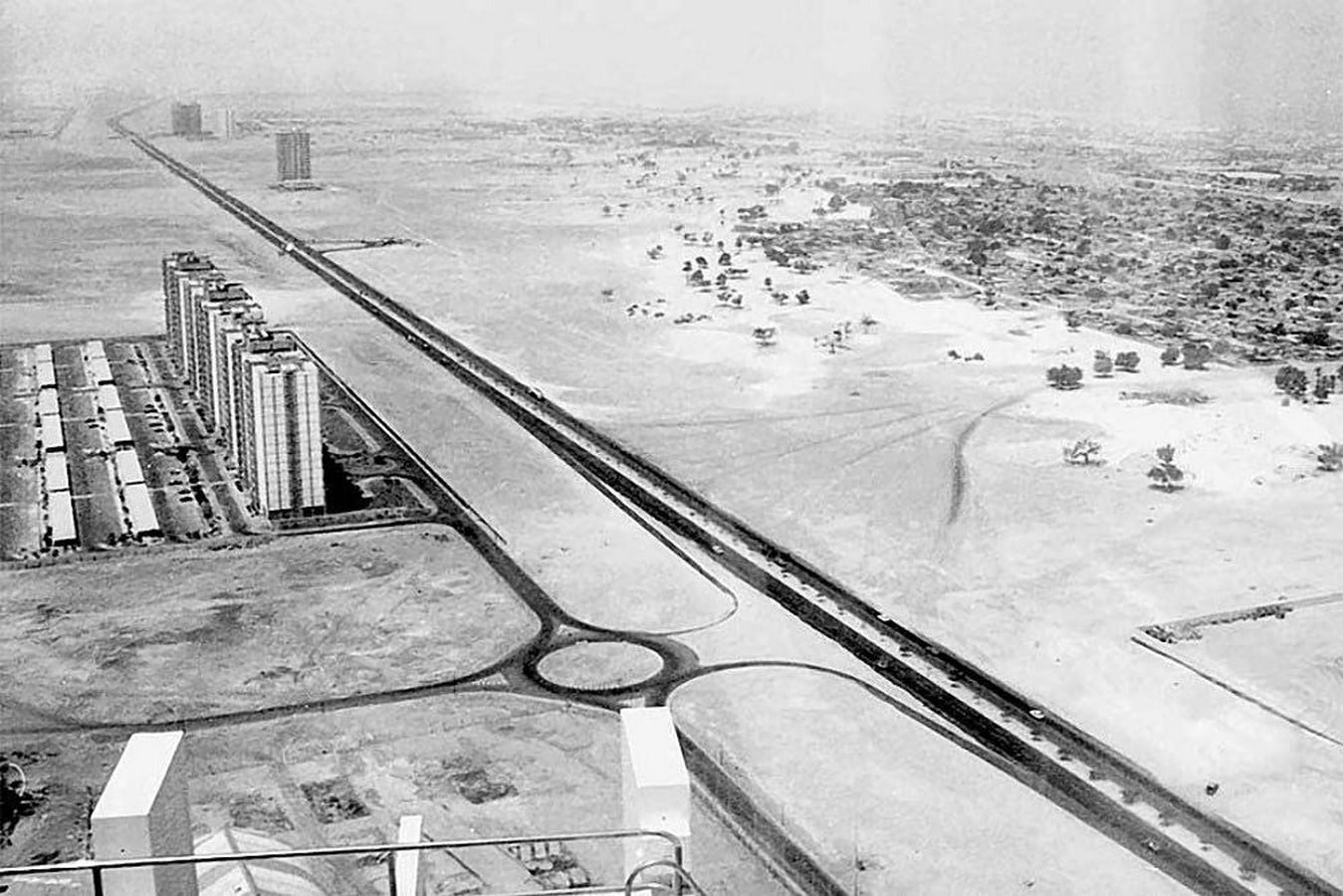
The precast-concrete façade, articulated through a honeycomb-like pattern of recessed openings, combined a distinctive architectural expression with protection against direct solar exposure. The resulting composition incorporated modernist high-rise construction while drawing on regional architectural references, including pointed arches. Originally intended to retain the appearance of exposed concrete, the façade was later painted white, altering the building’s public image without erasing its underlying architectural logic (Arab Center for Architecture, n.d.; John R. Harris & Partners, n.d.). Inaugurated by Queen Elizabeth II in February 1979, the tower established a new landmark in Dubai’s evolving skyline and gave architectural form to the city’s expanding role in international commerce.
4. Dubai’s megaprojects (1990-2010s)
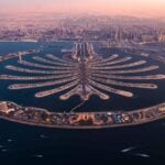
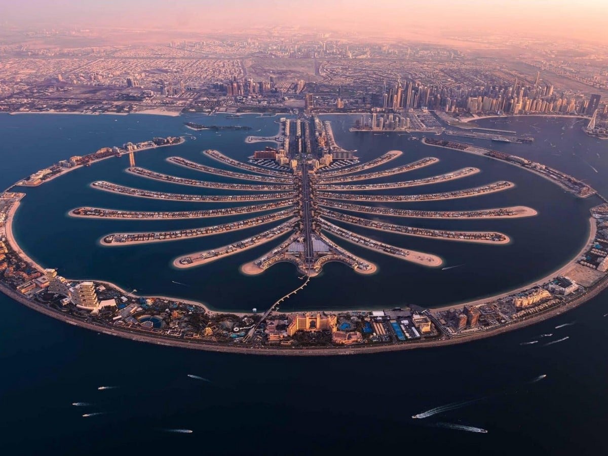
From the late twentieth century onwards, Dubai’s development increasingly included large-scale projects that transformed the physical geography of the city while circulating powerful images of its future. Palm Jumeirah’s artificial geography makes the relationship between planning and physical transformation unusually explicit.
The island’s urban significance lies in the creation of new land, the reconfiguration of the coastline, the organisation of development parcels and access, and the introduction of a new form of waterfront urbanisation. So, the project can be investigated as part of a wider change in the scale at which Dubai’s territory was being developed and represented.
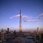
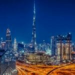
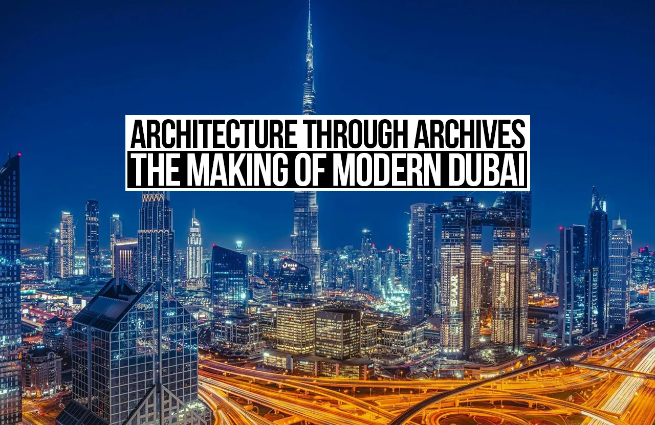
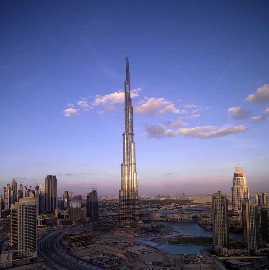
The Burj Khalifa extended Dubai’s megaproject strategy, transforming the pursuit of architectural height into both an engineering challenge and a statement of global ambition. Designed by Skidmore, Owings & Merrill (SOM), with Adrian Smith as design partner, the tower was completed in 2010 at 828 metres, becoming the world’s tallest building. Its architectural form is inseparable from its structural logic: a three-winged, Y-shaped plan organised around a central hexagonal core creates a buttressed-core system in which the wings reinforce one another against lateral forces. The resulting silhouette is part of the architects’ stated design narrative, which draws on the geometry of the regional Hymenocallis flower and patterns associated with Islamic architecture. These references connect the tower’s contemporary engineering to a broader architectural language. Beyond the building itself, the Burj Khalifa became the focal point of a larger development combining residential, commercial and hospitality functions with landscaped public spaces.
5. Dubai’s contemporary urban plans (2020-2040)
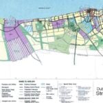
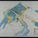
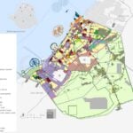
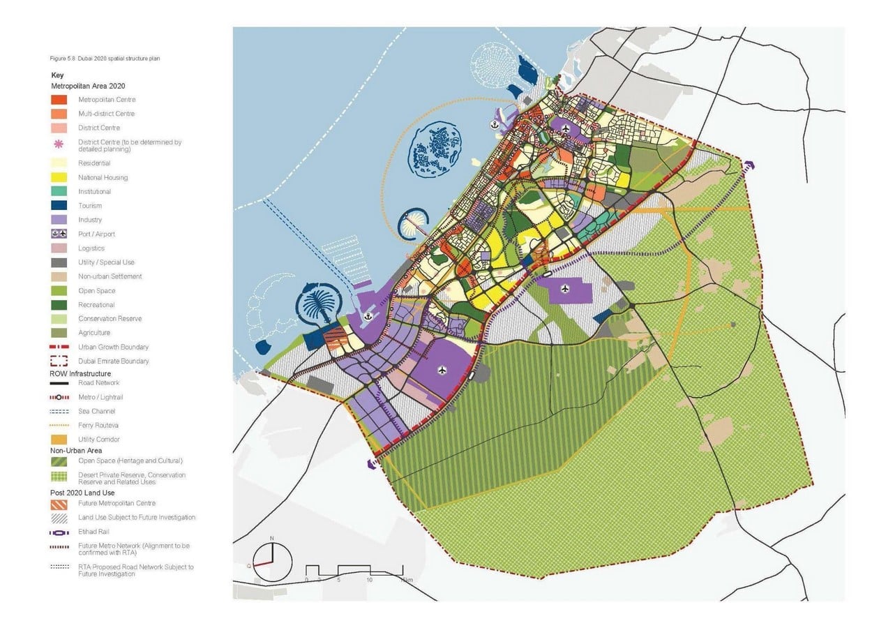
By the time the Palm and the Burj Khalifa were complete, the planning task had shifted from enabling megaprojects towards accommodating them. The Dubai 2020 Urban Masterplan, set out in a July 2011 Dubai Municipality document and prepared with AECOM Middle East after the 2008 downturn, treated them as part of the existing city. Its first two urbanisation areas, the offshore islands and the metropolitan area, cover the existing urban fabric together with megaprojects under construction and those on hold or deferred, the latter recommended for development beyond 2020 where required.
The plan records the scale of this inheritance: about a fifth of the emirate’s mainland was already urbanised or under construction, another fifth was committed for development before 2008, and by 2008 around 23 per cent of its territorial waters had been dredged or reclaimed for islands. Its stated priorities were to make the most of existing infrastructure investment and to stay flexible, with a medium-growth forecast of 2.8 million residents for 2020, up from an estimated 1.9 million in 2010. Master developers including Emaar and Nakheel are acknowledged among its contributors. The Executive Council adopted its spatial structure in 2011, the framework that Dubai 2040 would later succeed.
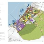
Dubai Municipality identifies the 2040 Structure Plan as the sixth in a succession of plans, following those of 1960, 1971, 1985, 1995 and 2012. Building on these earlier frameworks, the 2040 plan establishes a twenty-year roadmap for coordinating spatial development across Metropolitan Dubai and Hatta. Its preparation involved an assessment of existing conditions, population and employment forecasts, alternative spatial strategies, and a revised system of planning governance.
Dubai’s built area, initially concentrated around the Creek, expanded alongside successive increases in population and the designation of land for development. By 2020, the plan records an urban population of 1.905 million and an urban area of 1,335 km². Looking ahead, it forecasts a residential population of 5.8 million by 2040, alongside growth in employment and visitor numbers. These projections establish the scale of the challenge addressed by the plan: accommodating further growth while coordinating the use of land and existing infrastructure.
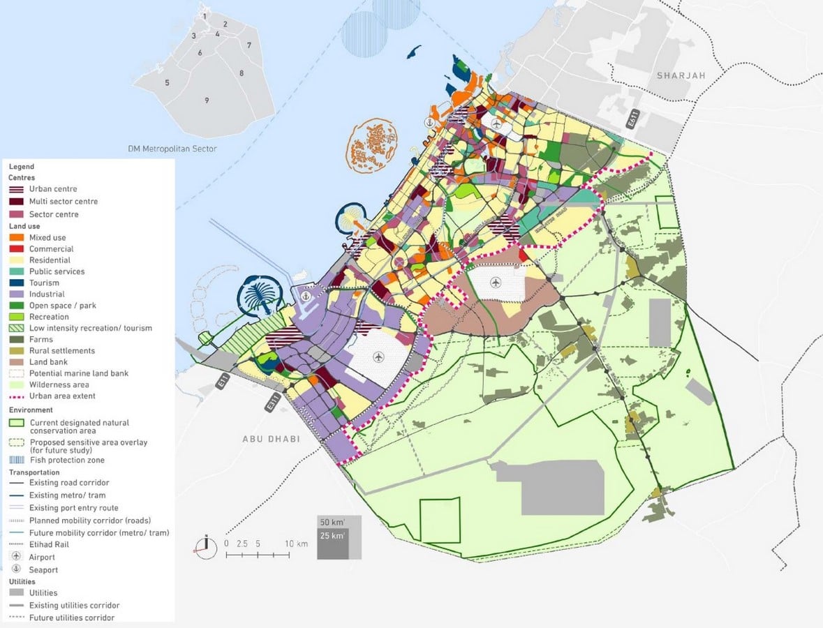
One of its principal strategies is the development of a polycentric urban structure organised around six urban centres. Deira and Bur Dubai, Downtown and Sheikh Zayed Road, and Dubai Marina constitute the three existing centres identified in the plan. Silicon Oasis and District 2020 are designated for development by 2040, while Jebel Ali is earmarked for development beyond that horizon. Each centre is intended to concentrate employment, services and amenities, with future growth prioritised around public transport. The proposed hierarchy extends to multi-sector, sector and rural centres, creating a framework for distributing urban activities rather than concentrating them in a single dominant core.
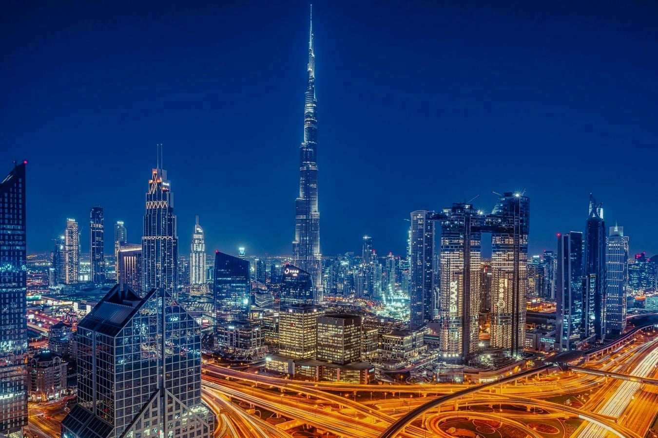
Tracing Dubai’s development from its nineteenth-century origins along the Creek to the urban visions set out for 2040, this chronology follows the documents through which the city’s transformation can be understood. Each phase marks a shift in scale, from the management of the waterway and the first comprehensive town plans to the rise of landmark architecture, territorial megaprojects and contemporary planning frameworks. Together, these records show how Dubai’s urban landscape evolved through successive approaches to shaping and accommodating growth.