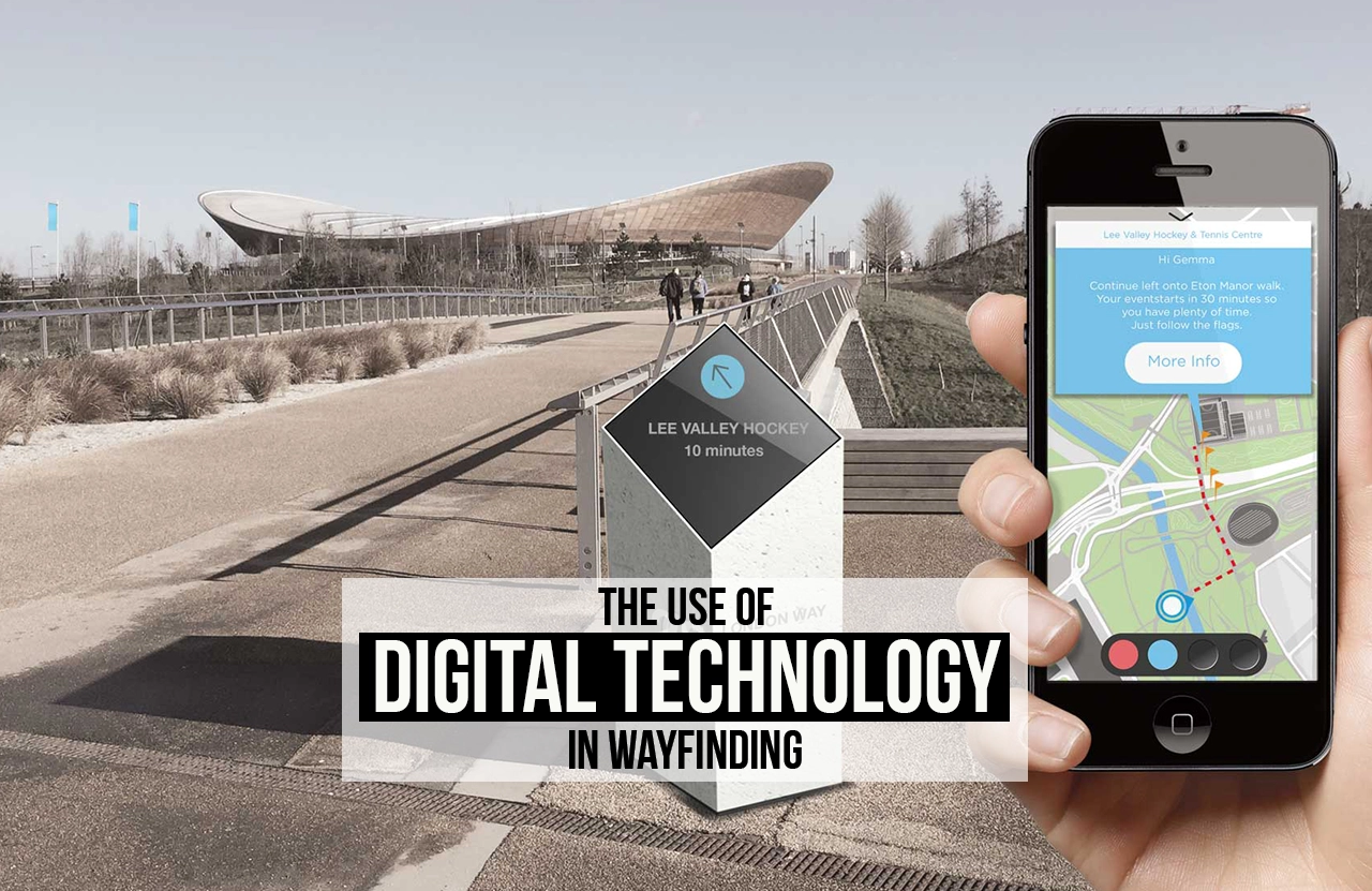
Imagine a patient entering the Cleveland Clinic in Ohio, one of the largest medical campuses in the world. Faced with endless corridors and multiple departments, anxiety builds—not just about the medical appointment but also about reaching the right location on time. Instead of relying on static signs, the patient opens the hospital’s wayfinding app, which provides real-time step-by-step indoor navigation. Using Bluetooth beacons and interactive maps, the app guides the patient directly to the correct consulting room, even suggesting nearby cafés for a break afterwards. What was once an intimidating experience is transformed into a seamless journey. Such scenarios highlight how the use of digital technology in wayfinding is fundamentally reshaping how people experience and navigate complex spaces.

Understanding Wayfinding in the Digital Era
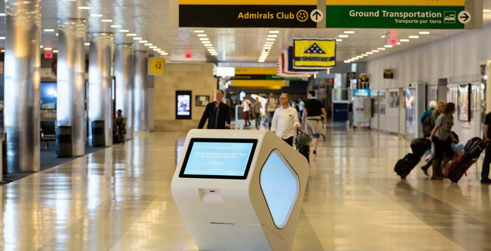
Wayfinding has long been central to human movement within built environments, traditionally supported by maps, signboards, and architectural cues. Yet the rapid growth of urbanisation, the rise of mega-buildings, and the complexity of transport hubs have made static systems insufficient. Digital technology, therefore, has become the bridge between human cognitive processes and increasingly complex physical environments.
The use of digital technology in wayfinding goes beyond simple navigation. It includes interactive kiosks, mobile apps, augmented reality (AR), and smart sensors that create personalised and adaptive guidance. For instance, Google Indoor Maps provides detailed floor plans of airports, shopping centres, and museums, while specialist providers like MazeMap have revolutionised university campuses with detailed indoor positioning systems.
Smartphones and Mobile Applications
Smartphones have become the most accessible medium for digital wayfinding. Applications such as Google Maps, Citymapper, and MazeMap allow users to move effortlessly through unfamiliar environments. Unlike static signs, these systems adapt routes in real time, accounting for traffic, accessibility needs, or even personal preferences such as quieter paths.
A practical example is Westfield London Mall, which integrates QR-coded digital directories with its mobile app. Visitors can scan a code at an entrance and receive a personalised route to shops, restaurants, or parking areas. Similarly, Cleveland Clinic’s “MyClinic” app reduces patient stress by providing live indoor navigation, integrating with appointment schedules to send reminders and directions. These applications demonstrate how the use of digital technology in wayfinding is moving from novelty to necessity.
Augmented Reality and Immersive Experiences

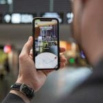
Augmented reality is redefining wayfinding by blending the physical and digital. Instead of reading maps, users follow arrows, labels, or symbols overlaid directly onto their environment through smartphones or AR glasses.
One notable project is Tokyo’s Shinjuku Station, one of the busiest in the world. Here, AR trials have been conducted to help commuters navigate its 200 exits by simply holding up a phone to reveal digital signage. In retail, IKEA Place uses AR not only for furniture placement but also to guide shoppers through store layouts. The use of digital technology in wayfinding through AR not only simplifies movement but also makes the experience engaging, intuitive, and interactive.
Accessibility and Inclusivity
Perhaps the most transformative impact has been in creating equitable navigation for all. Static signage often excludes vulnerable groups such as visually impaired individuals, non-native speakers, or those with cognitive challenges. Digital solutions fill this gap by offering auditory guidance, multiple language options, and adaptable text sizes.
The Microsoft Soundscape app is a strong example, providing 3D audio cues that help blind and low-vision users orient themselves within cities. In London’s King’s Cross Station, beacon-based systems allow visually impaired travellers to receive voice-assisted step-by-step guidance via their smartphones. Such inclusive approaches prove that the use of digital technology in wayfinding is not just about efficiency but also about fairness, aligning with universal design principles.
Integration with Smart Cities
Smart cities represent the next frontier. In these environments, digital wayfinding is part of a larger interconnected system where data from transport, energy, and infrastructure converge.
In Barcelona, real-time bus information is integrated into digital kiosks across the city, allowing residents to plan seamless multi-modal journeys. In Singapore, the Land Transport Authority has developed an app that not only maps metro routes but also gives crowd density updates to help commuters choose less congested trains. Amsterdam, meanwhile, uses IoT-enabled signage to redirect cyclists and pedestrians away from overcrowded streets during peak tourism periods. This shows how the use of digital technology in wayfinding is not limited to individual navigation but contributes to wider urban resilience, sustainability, and efficiency.
Wayfinding in Architecture and Interior Design
For architects, digital wayfinding has become part of design thinking. The role of wayfinding is no longer an afterthought but an integral part of spatial planning.
The Dubai Expo 2020 site is an example where architects and digital designers worked together to embed digital signage, projection mapping, and app-based navigation from the outset. Visitors could use interactive screens to locate pavilions, while AI-driven apps updated routes based on live crowd flows. Similarly, museums such as the Louvre in Paris have installed digital directories and AR tools that not only direct visitors but also provide cultural narratives, blending navigation with education. By integrating such systems at the design stage, architects reduce visual clutter and future-proof buildings, ensuring flexibility as user needs evolve. The use of digital technology in wayfinding here becomes part of the architectural language rather than an external add-on.
Challenges and Considerations
Despite the advances, challenges persist. Digital inequality remains a key concern—older populations or those without smartphones may be excluded if systems rely solely on apps. Hybrid models that blend static signage with digital solutions are therefore essential.
Data privacy is another critical issue. Personalised navigation systems often collect information about user movement, raising questions about surveillance and consent. Overdependence on digital guidance may also reduce natural spatial awareness, creating users who rely on screens rather than architectural cues.
Technical challenges also exist. Indoor GPS signals can be weak, while Wi-Fi or Bluetooth beacons require regular maintenance. Malfunctioning kiosks or outdated software can frustrate users more than static signs ever did. These concerns suggest that while the use of digital technology in wayfinding is transformative, it must be implemented thoughtfully, balancing innovation with resilience.
The Future of Digital Wayfinding

Looking ahead, artificial intelligence and predictive analytics will elevate wayfinding into a proactive system. Instead of merely reacting to user requests, AI will anticipate needs. For example, a hospital navigation app could suggest quieter corridors for anxious patients or highlight accessible routes for wheelchair users automatically. Emerging devices like Apple Vision Pro and Meta Quest point towards a future where AR glasses provide immersive navigation without needing to hold a phone. Combined with IoT-enabled smart infrastructure, this could result in a unified ecosystem where streets, buildings, and personal devices communicate seamlessly.
Sustainability is also shaping the future of wayfinding. Energy-efficient digital signage, solar-powered kiosks, and low-carbon data centres ensure that technology supports navigation without increasing environmental impacts. As cities face climate emergencies, wayfinding will play a role in evacuation planning, directing people during floods, fires, or heatwaves with real-time precision.
References:
- Apple (2023). Introducing Apple Vision Pro. Available at: https://www.apple.com/apple-vision-pro/ (Accessed: 10 September 2025).
- Batty, M., Axhausen, K.W., Giannotti, F., Pozdnoukhov, A., Bazzani, A., Wachowicz, M., Ouzounis, G. and Portugali, Y. (2012) ‘Smart cities of the future’, European Physical Journal Special Topics, 214(1), pp. 481–518.
- BIG (2018) Projects – Transportation. Available at: https://big.dk/#projects (Accessed: 10 September 2025).
- Cleveland Clinic (2020) Wayfinding Made Easy with Innerspace. Available at: https://my.clevelandclinic.org (Accessed: 10 September 2025).
- Concept3D (2019) Arizona State University Campus Map. Available at: https://concept3d.com (Accessed: 10 September 2025).
- Foth, M., Choi, J.H. and Satchell, C. (2016) ‘Digital technology and privacy in public spaces’, Urban Studies, 53(4), pp. 745–760.
- Ihde, D. (2009). Postphenomenology and technoscience: The Peking University lectures. Albany: SUNY Press.
- Lee, H. (2019) ‘Changi Airport: Smart technologies in passenger experience’, Journal of Airport Management, 13(3), pp. 214–227.
- MazeMap (2020) Westfield London App Case Study. Available at: https://mazemap.com (Accessed: 10 September 2025).
- NHS Digital (2022) AR Wayfinding Pilot at Royal London Hospital. Available at: https://digital.nhs.uk (Accessed: 10 September 2025).
- Pointr (2021) Indoor Navigation for Airports. Available at: https://pointr.tech (Accessed: 10 September 2025).
- Transport for London (2019) Legible London. Available at: https://tfl.gov.uk (Accessed: 10 September 2025).