While much of the conversation around digital twins has focused on autonomous vehicles or industrial applications, a more significant transformation is taking place at the urban scale. When Micware Group launches Dynamic Share Map during Mobile World Congress 2026, it will provide urban planners, civic technologists, and smart city developers with a platform that fundamentally changes how cities are visualized, simulated, and managed.
From Static Maps to Living Digital Twins
 Urban planning has long relied on fragmented tools: GIS data for infrastructure, 2D maps for navigation, and isolated 3D models for development proposals. These disconnected systems rarely communicate, leaving planners with incomplete pictures of the cities they manage.
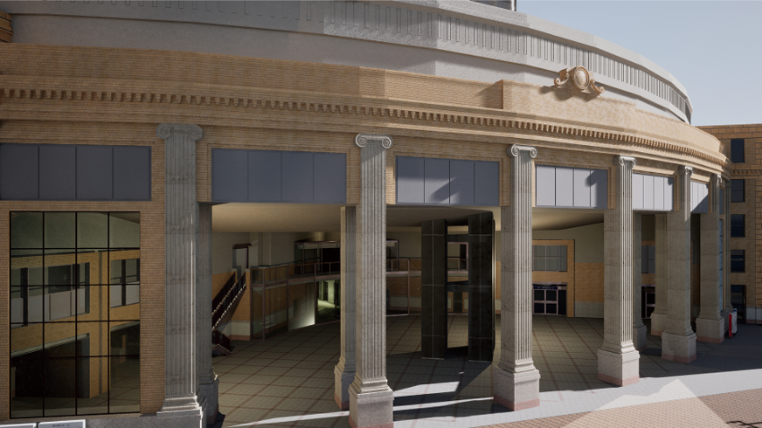
Dynamic Share Map eliminates this fragmentation entirely. By integrating Japanese government PLATEAU data, OpenStreetMap, and real-time footage from dashcams and drones, the platform creates comprehensive digital twins of entire cities. For smart city initiatives, this means every layer of urban life, including buildings, roads, infrastructure, movement patterns, can be understood within a single, accurate, continuously updated 3D environment.
Infrastructure That Updates Itself
Perhaps the most significant technical feature for smart city applications is that Dynamic Share Map treats every building, road, and sign as an individual object. When a construction project closes a street, when a new building rises, when signage changes, the digital twin updates instantly through integration with real-time edge data from dashcams and other data sources.
This object-based architecture means cities no longer need to choose between accuracy and scale. Infrastructure managers can monitor assets remotely, simulating stress on bridges or predicting maintenance needs based on actual conditions rather than scheduled inspections. Emergency responders can train in virtual environments that precisely mirror current urban layouts, not outdated maps.
For the emerging field of digital twin cities, the ability to maintain accurate, up-to-date representations at scale removes the single greatest barrier to adoption. Previous efforts required manual updates or relied on data that aged quickly. Dynamic Share Map’s continuous integration of real-world footage ensures the digital environment remains synchronized with its physical counterpart.
The Civic Engagement Opportunity
Municipal decision-making often stalls because stakeholders lack shared understanding of proposed changes. When communities debate development projects, each participant operates from different information, where some rely on developer renderings, others on memory, still others on incomplete city data.
Dynamic Share Map could transform this dynamic. When everyone, be it planners, elected officials, residents, or developers, views the same accurate digital twin discussions shift from speculation to observation. Proposed changes become visible in their actual context. Tradeoffs become transparent. Decisions rest on shared understanding rather than competing narratives.
Toward Smarter Cities
Dynamic Share Map launches first on Windows, targeting precisely the professional users (urban planners, infrastructure managers, simulation engineers) who will extract immediate value from its capabilities.
For an industry that has talked about smart cities for decades while struggling to deliver integrated solutions, Dynamic Share Map represents something rarer than another pilot project: a platform that finally makes comprehensive digital twins practical at scale. The cities we build tomorrow will look different because we can see them more clearly today.