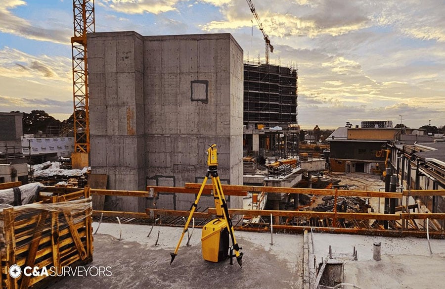
Every site holds a set of decisions before a designer arrives. The fall of the land, the drainage line already carved into a slope, the exact point where a neighbor’s wall casts its shadow: none of these wait for a concept sketch to exist. It’s simply there, whether or not the design accounts for it.
The real question is whether an architect gets to design with that reality from the outset, or discovers it later and has to adjust around it.
The Myth of the Technical Formality
It’s tempting to file a topographic survey under paperwork: something a project needs before it can move to council or a certifier, rather than something that shapes the design itself.
That framing undersells what the data actually does. Contours, levels, drainage patterns, existing vegetation, and boundary conditions aren’t a record of what already exists so much as a map of what the site will allow. A design drawn without that map isn’t wrong, exactly. It’s just designed against an imagined site rather than the real one, and the two rarely match as closely as an architect would like.
Designing Toward a Site, Not Onto It
There’s a meaningful difference between designing toward a site and designing onto one.
Designing onto a site starts with a generic idea, a flat pad, a familiar massing, a template that has worked elsewhere, and then tries to fit that idea onto the land as it actually is. Designing toward a site starts with the land’s real contours and lets the design respond to what’s genuinely there: where water wants to go, where the ground naturally steps, where an outlook already exists without any effort.
The first approach treats the site as an obstacle to manage. The second treats it as the source of the idea.
This is where early survey data earns its place, not at the application stage, not once documentation begins, but at the point where the design’s first real moves are being made. Data arriving after a design has already settled on its orientation, its levels, its major forms tends to confirm or contradict decisions that are already hard to unwind. Data arriving before those decisions is what shapes those decisions themselves.
Why Uncertainty Makes Architects Conservative
Architects designing without accurate site information rarely design boldly. It’s the opposite. Without real data, most designers hedge: they raise a floor level a little more than necessary to be safe against an assumed grade, pull a building further from a boundary than the site strictly requires, or default to a straightforward rectangular form because a more site-responsive shape feels too risky to commit to without knowing exactly what the ground does.
None of this is a failure of imagination; it’s a rational response to uncertainty. Give the same architect real contour and level data early, and the safety margins built into those guesses often disappear, because there’s nothing left to guess.
This matters even on sites that don’t look remarkable. A gentle, seemingly flat block still has subtle falls that affect drainage and floor levels, and a design that ignores them can end up more constrained, not less, once those small variations surface during documentation.
Early data isn’t only for the dramatic sites. It’s most valuable wherever assumptions are quietly standing in for information, flat or steep.
 What “Early” Actually Means, and Why It Doesn’t Cost Time
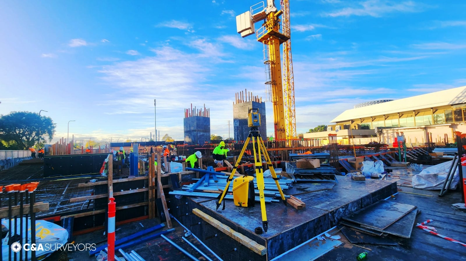
A common concern is that waiting for a full survey before designing adds time the project doesn’t have. In practice, it tends to save time rather than cost it. A design built around real data moves through concept and documentation without having to re-check assumptions once the actual site conditions are confirmed.
The delay usually associated with surveys comes from commissioning one too late, once a design is already committed to a set of guesses rather than from the survey itself. Done early, alongside the first concept sketches rather than after them, a topographic and detail survey adds very little time and removes a great deal of rework later.
What Good Early Data Actually Looks Like
Not every site plan called a “survey” gives a design team what it needs. A basic boundary sketch, for example, might confirm where a title line sits without saying anything about levels, drainage, or existing structures, which is exactly the information a design decision depends on.
What a design team needs are contour and level data tied to a known reference point, existing structures and vegetation clearly marked, and drainage patterns that are visible rather than implied. On a sloping, heritage-affected, or tightly constrained site, that level of detail matters even more, since small inaccuracies compound quickly once a design starts working close to a boundary or a grade change.
It’s why, on sites like these, architects tend to go looking for experienced land surveyors who understand what a design team will actually do with the data, rather than a generic plan that satisfies a checklist.
Whose Job Is It to Get This Early?
This is rarely just the architect’s call to make. A client commissioning a project too late in the piece, a design timeline that assumes a survey can happen “whenever it fits,” or a brief that doesn’t budget for early site data all quietly push this step later than it should sit. The strongest outcomes tend to come from projects where the architect, the client, and the surveyor treat this as a shared, early priority rather than a box to check once a concept is already drawn.
Designing with a site, rather than against it, isn’t really about caution; it’s about giving a design more to work with, not less. A building that responds to its real ground, its real fall, and its real light does so because someone chose to know that ground before drawing over it.
C&A Surveyors, founded in 2009, has been producing exactly this kind of early site data for design teams for well over a decade.