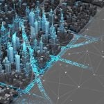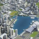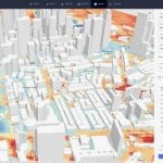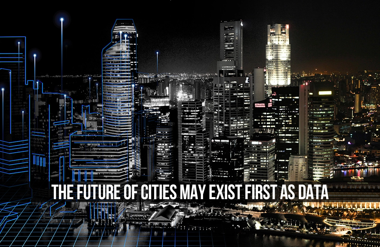
Before a single brick is laid or a railroad track is set, the city of the future exists as a digital construct. Through dynamic maps, simulations, and predictive models, urban environments are now built as data before they take physical shape.
Historically, urban planning relied on physical construction and observations. Although planners could study past decision-making, they lacked the tools and software to predict future reactions.
This relationship is now evolving as cities become more complex. Rapid urbanization, deteriorating infrastructure, and climate change uncertainties have put enormous stress on cities, making it essential to understand them as interconnected systems. In response, planners are turning to urban analytics, artificial intelligence, geospatial modeling, and digital-twin technology to represent cities as evolving digital systems. These models integrate information on buildings, transportation, energy, water, climate, land use, and people movement into a single environment.
Data is therefore becoming more than a passive record of urban life. Every movement, energy transaction, weather phenomenon, and passage through public spaces can help reveal patterns that physical observation might miss. Before expanding a road, developing a neighborhood, or extending a transit network, one can evaluate the consequences of such an undertaking through simulations that account for congestion, energy use, hazards, and people’s behavior.
This new method also creates new challenges for urban planners. In contrast to considering only how a proposal looks, planners and architects can experiment, evaluate performance, predict consequences, and adapt before they start building. However, data-driven urban planning also raises problems of privacy, ownership, bias, and representation. A digital city is as inclusive and reliable as the data that builds it.
Therefore, the future city may not start with concrete and steel structures. It may start as a model – one tested, contested, and refined with data before taking shape on the ground.
From Digital Models to Living Systems
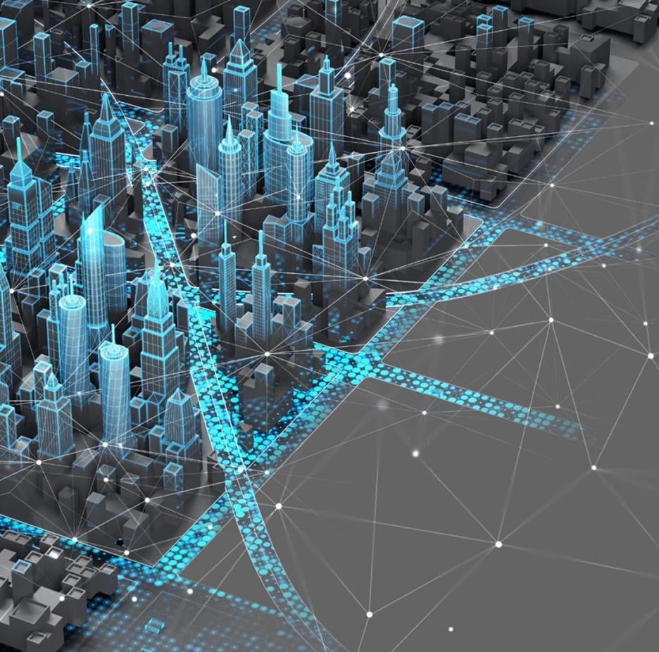
Drawings and models have long been fundamental tools architects and planners use to illustrate their concepts. The traditional master plan shows the city as a stable configuration of zones, transport arteries, public and development spaces. Master plans and models are useful tools, but they are static and depict an idealized design at a specific moment. Cities rarely develop according to a single predictable sequence. Instead, they continually react to migration, climate events, economic factors, technology, and human activity.
Data lets designers and planners move from static representations to living models that evolve in response to different situations. A digitally modeled city can be updated as conditions change. Traffic patterns can be observed across different hours. Flood risks can be mapped against future rainfall projections. Energy consumption can be assessed depending on the building density. The impact of any proposed development can be evaluated in relation to mobility, shade, service provision, and environmental performance.
From this perspective, the city is no longer viewed as a finished plan, but as a set of relations open to observation and analysis. While this approach does not remove uncertainty in urban planning, it offers another way to cope with it by considering several future scenarios.
Digital Twin and the City as a System
The notion of an urban digital twin further explores this concept, which becomes particularly important for understanding cities as systems. Digital twins are more than just 3D models of buildings and streets. They are continuously connected to real-world information, wherein virtual counterparts are linked to physical environments that can be monitored, tested, and updated, contributing to a living digital representation of a city.
While a digital model portrays the appearance of the place in question, the digital twin offers planners a way of understanding how the location behaves. Information flows from the physical city into the digital model, enabling the model to adapt to changing conditions. Insights from the simulation process will inform decision-making, creating a never-ending loop of observation, prediction, and intervention. This allows a place to be explored before it is built and re-examined while it is operating, giving planners and designers a chance to assess performance under various conditions.
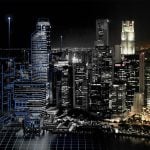
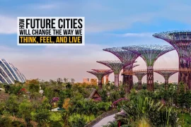
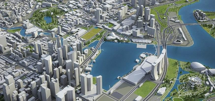
A strong example of this concept is Virtual Singapore. The virtual representation of the city integrates spatial data, infrastructure, and environmental information into a single platform to support planning, research, and public services.
Digital twins cannot replace professional or community judgment. Their value lies in improving understanding of urban systems and testing scenarios under different conditions before anything is done.
Planning Through Simulation
The most significant promise of data-first urbanism is the ability to test consequences earlier.
Urban design is expensive, interconnected, and often irrevocable. A poorly built highway will dictate how cars move and how construction proceeds in the area for decades. Poorly designed buildings can drive excessive energy use for years. Improper drainage systems can convert routine rain into regular disasters.
Simulation lets planners detect these problems before pouring any concrete. Planning tools can simulate various street networks, building densities, land-use patterns, and transportation systems within a single digital environment. A new metro line can first exist as a mobility simulation. A housing district can first be tested as a model of population density, water use, energy demand, and access to public amenities. A redesigned street can first be evaluated for pedestrian movement, thermal comfort, safety, and economic activity. Studying each condition in isolation can mask the true dimensions of the issue. A connected simulation can show how one change can ripple through many urban systems, helping identify a solution that helps resolve all aspects.
Artificial intelligence improves the process through machine learning, where large amounts of data are analyzed, trends are identified, and future outcomes are predicted. Virtual worlds act as urban labs where humans can assess whether an AI-proposed solution is socially and spatially appropriate.
Identifying such relationships before construction begins enables urban planning to transition from problem-solving to predictive planning and proactive design.
Climate Resilience Before Construction
Predictive planning is becoming essential today as cities confront rising temperatures, water scarcity, flooding, drought, and more severe weather. These threats compound existing social and economic injustices, making people more vulnerable.
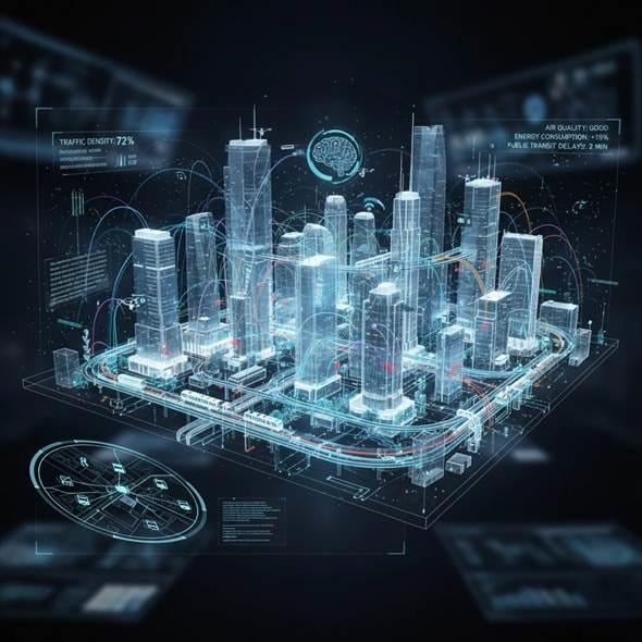
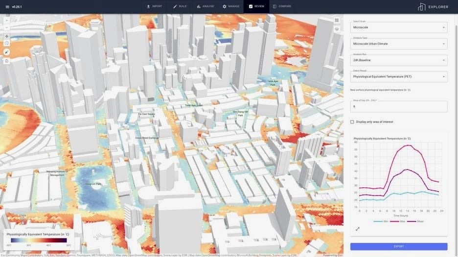
Information gathered from high-resolution satellite images and climate models makes it possible to spot heat islands, determine flood routes, and analyze vegetation, air quality, and water resources. However, when combined in a digital model of the city, data on relief, building shapes, surface conditions, and population enable prediction.
Planners can then test different resilience tactics before starting construction projects. Simulations will determine where tree planting will be most effective at cooling, which materials should be made permeable, and how a city’s growth will affect wind movement, shade, and drainage. For instance, shaded streets could prove more beneficial than faraway parks. This approach also enables stormwater drainage systems to be designed around anticipated rainfall levels rather than historical averages.
The real power of predictive modeling lies not in guaranteeing certainty, but in being prepared. No amount of modeling will reduce uncertainties, particularly those involved in compounding, cascading climate-induced effects. Models, however, can bring into focus the risks, dilemmas, and inequities long before it is too late to reverse their outcomes in an ever-changing climate world.
The Role of Architects and Urban Designers
Architects are no longer designing only buildings. They are increasingly contributing to systems that respond to changing environmental and social conditions. Spatial imagination will continue to play an important part, but so will systems thinking and scenario planning.
As cities become increasingly data-driven, architects need to adapt how they work. Designers can rely on environmental data, demographics, mobility data, and predictive analytics, but using these tools requires understanding the information, its gaps, and its biases while interpreting complex data.
While the model can determine the best placement for buildings, it cannot determine the type of social interaction the community should encourage. Similarly, the model may maximize sun exposure; it does not fully define beauty, belonging,or cultural significance. These depend on interpretation, empathy, and imagination rather than a technical exercise.
Data in the future can help bolster the designer’s intuition with facts. The future designer can help shape an ongoing relationship between data, space, and society, moving beyond creating a stable object.
From Prediction to Participation
The most promising application of city data might not be predicting the future with total precision. It would be broadening inclusion in the process of envisioning it by including different kinds of stakeholders in decision-making.
Digital models can help residents see how proposed developments could affect their neighborhoods. Instead of interpreting theoretical planning documents, they let people explore scenarios, weigh alternatives, and offer insights based on their experiences.
A flood-risk model, for example, might help identify areas at risk based on topographic and rainfall information. However, residents can report clogged drainage, streets that are often flooded, inaccessible shelter, or the need for extra help. Such a model would be highly accurate since professional insight and practical experience would reinforce one another.
Participatory modeling will also clarify debates about the plan. It will allow people to ask not only about approval but also about changes to their access to schools, transport facilities, parks, work, and affordable housing.
Participation is meaningful only when it influences decisions. An information technology tool that gathers views without changing anything is not an innovation to democracy. Information technology needs to build a feedback process that lets people see how their input affects proposals. Used appropriately, information in cities can make people active participants rather than mere consultees in designing a future city.
Building Adaptive Urban Futures
If the future city first exists as data, it need not exist as an ultimate answer. It can exist as a question, a hypothesis, or a set of possibilities.
Planning, in this regard, shifts from trying to control all aspects of urban growth to creating flexible frameworks that buildings, streets, public spaces, and infrastructure can use, each with its own needs for growth and development.
Urban areas are not static objects. They are places imbued with memory and identity, and shaped by forces of inequality and power. Data enables such flexibility by identifying shifts in environmental, social, and spatial contexts. Yet every model, on the other hand, embodies inclusion, exclusion, and what counts as knowledge. For instance, informal economies, temporary housing, systems of caregiving, and culturally specific use of public spaces might be rendered invisible to planning because they are omitted from data.
Data can support such adaptability by revealing when conditions change. Yet a city must not react immediately to every trend revealed through data collection. Some trends need an immediate response, but others need time and patience.
The goal is not to create a city governed entirely by algorithms. It is to create a city capable of learning without surrendering human agency.
A Future Worth Modeling
Cities that begin as information represent a huge paradigm change in urban thinking. By using tools such as maps, simulations, and digital models, we can experience the results before it’s too late and understand the relationships between elements of the urban system.
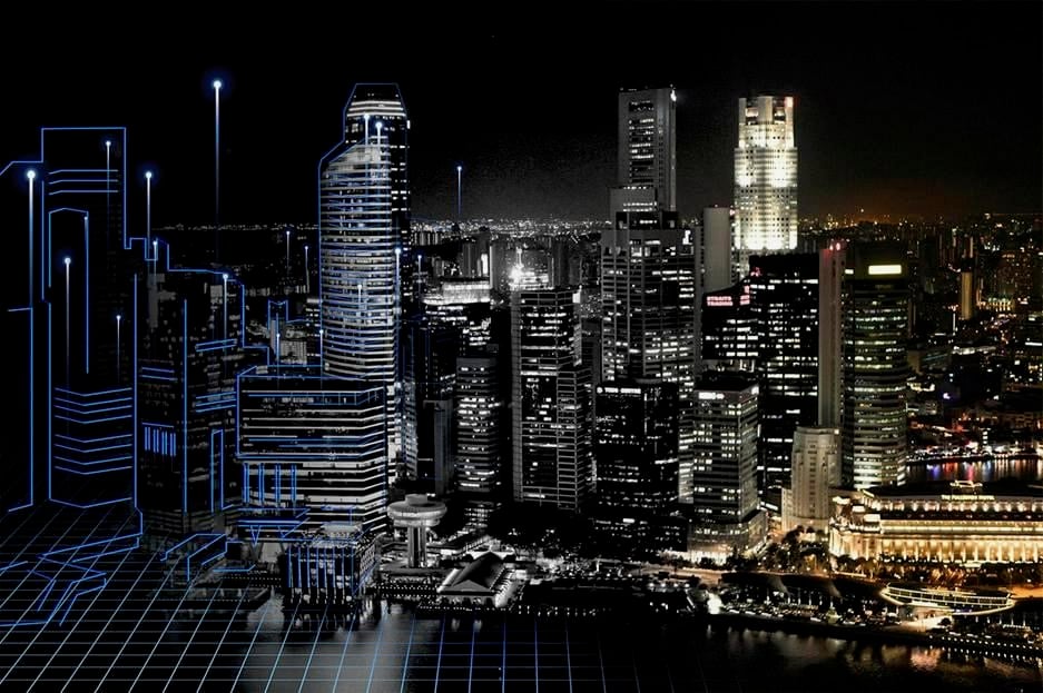
Tomorrow’s skyline may materialize first in a computer simulation before appearing in the real world. The mobility network may first be created virtually, as millions of interconnected data points, before being physically realized. Climate change strategies may be implemented digitally before being put into practice. These tools can make the city more adaptable by letting planners explore and refine different possibilities.
Yet a city cannot be an abstraction meant only for institutions and machinery. Humans have to relate to it in both tangible and intangible ways. Its success will depend on whether people can live within it safely, equitably, and with dignity. The process must become an organizing principle for asking questions about our urban future and how to achieve it.
The future of cities may therefore exist first as data, not because data replaces urban life, but because it allows cities to understand themselves before they transform.
Before cities are formed in concrete, steel and glass, data offers a rare opportunity: to question, test and reshape the future before we inherit it.