“Archaeology holds all the keys to understanding who we are and where we come from.” – Sarah Parcak.
As rightly said by the American archaeologist, Sarah Parcak who is a pioneer in the identification of archaeological sites with the help of satellite imagery, archaeology is a source to understand our lineage. Archaeological surface survey still happens to be a preliminary identification process of archaeological prospection and research and is still questioned in terms of its effectiveness. In tackling the problems in any archaeological settlement or landscape, it is crucial to first assess the visibility of archaeological records. But then, what is archaeological visibility?
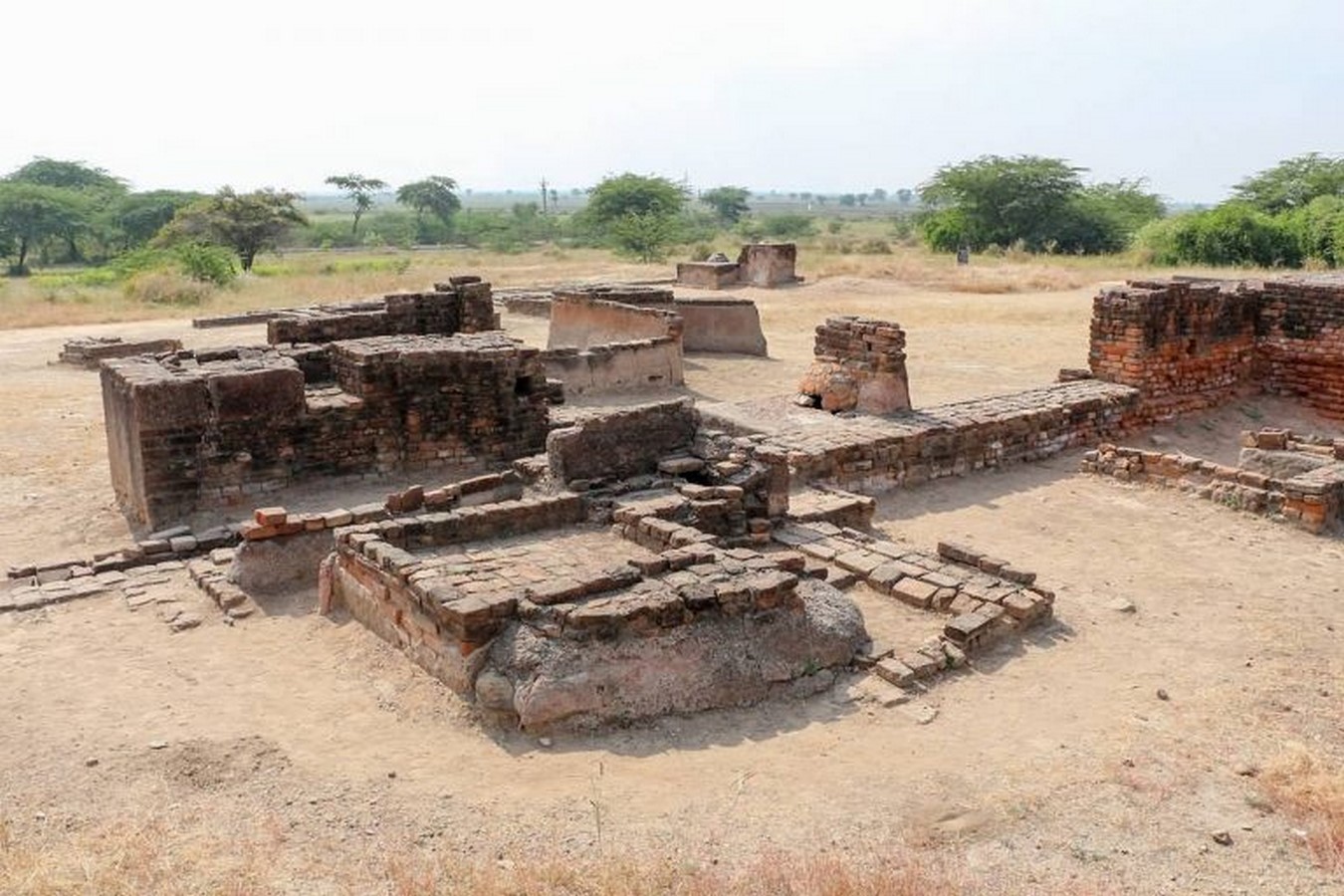
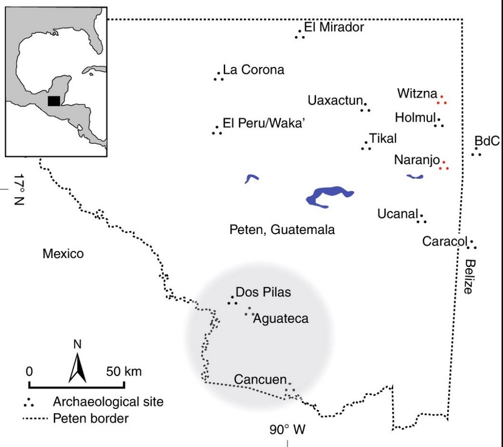
Firstly, the term visibility represents in archaeology a particularly ambiguous concept that can have a wide variety of different meanings or (perhaps more properly) which reflects a wide variety of different factors. Visibility is generally accepted as an important aspect of archaeological surveys but is mostly limited to documenting the amount of exposed ground surface or amount of vegetation cover in the field during the survey and then using this information in the analysis to correct the raw data. However, the problems of visibility are much more complicated and intertwined with each other. Cartography is an indispensable tool for representation of archaeological information, and the complexity of bringing multiple layers of data together leaves the only option of using geographic information systems (GIS) for mapping. The basic scales used for archaeological mapping are: ‘macro’, ‘semi-macro’, and ‘micro’. Each scale is used for a particular archaeological process, and no scale can be classified as ‘better’ than another. The ‘local’ scale, a term used here to indicate the shadowy zone between the mid- and macro scale, represents the most problematic area. This scale holds a great weight while writing history or heritage conservation as it builds a connective link between multi-period archaeological landscapes. Abandoning the local scale would mean turning a blind eye to landscape archaeology, and its potential to build cultural and local history. Another innate problem with scales in archaeological mapping is the lack of intermediate variation. Small yet intricate pieces of information get lost as a consequence of evidence lost in the intermediate scales.
But here is another important question – to what extent are things likely to be visible to us?
Evidence may end up getting all mixed up – cultural evidence from one may end up getting mixed with material evidence from another – thus creating a difficult scenario for recognition of archaeological sites.
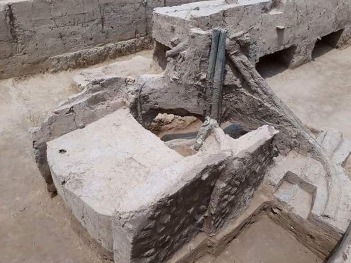
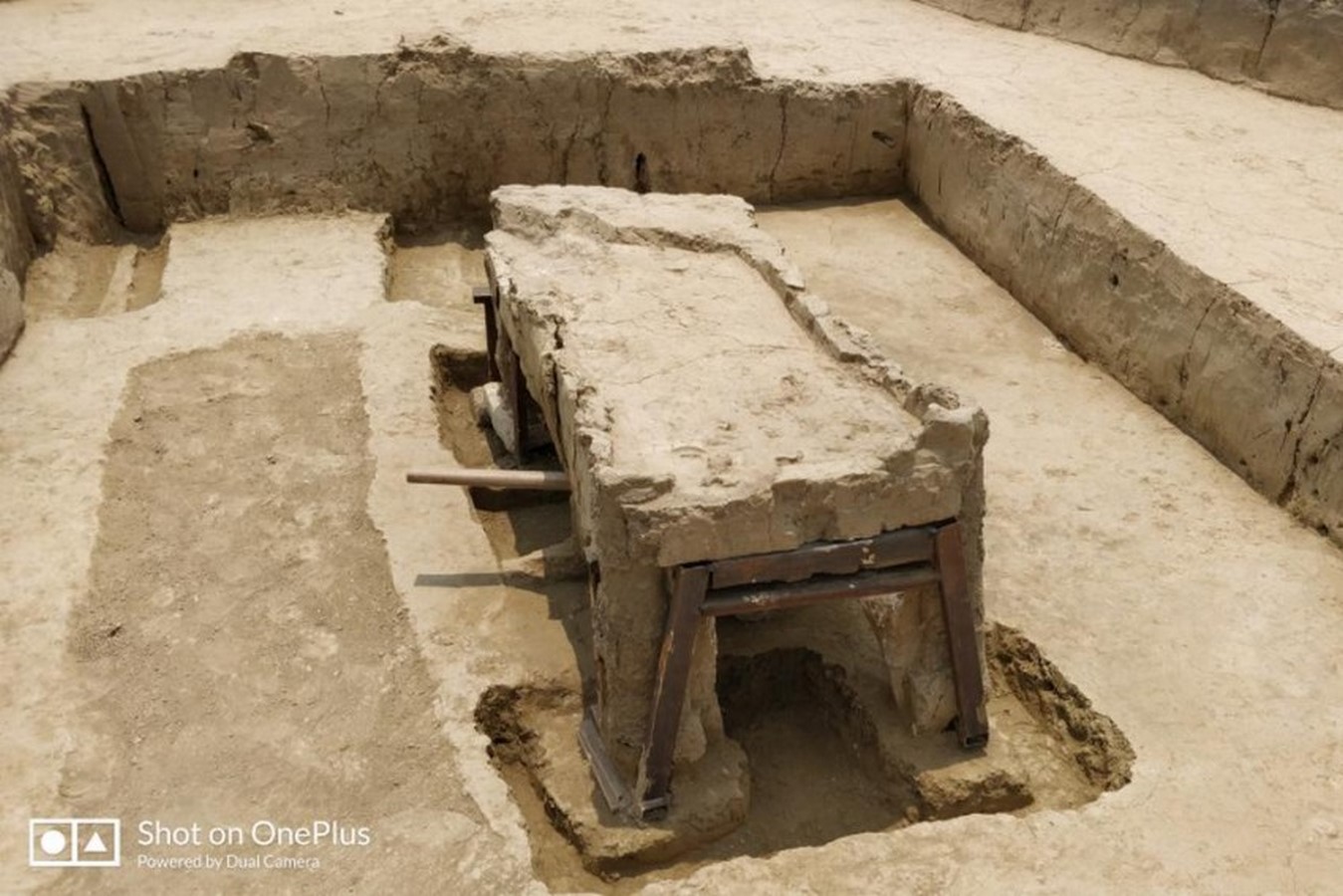
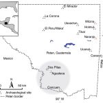
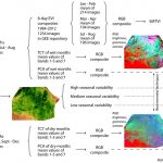
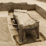
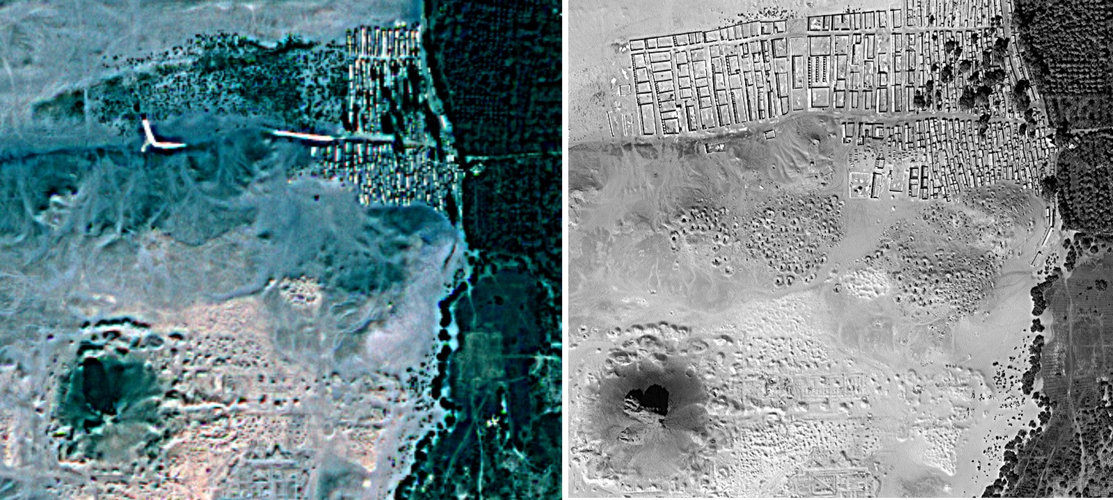
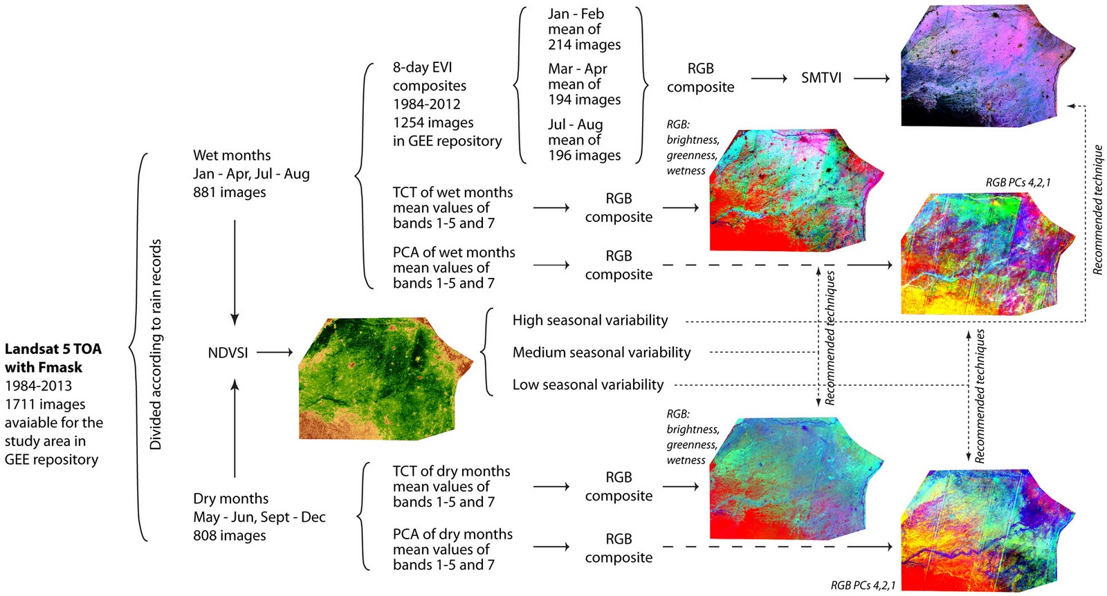
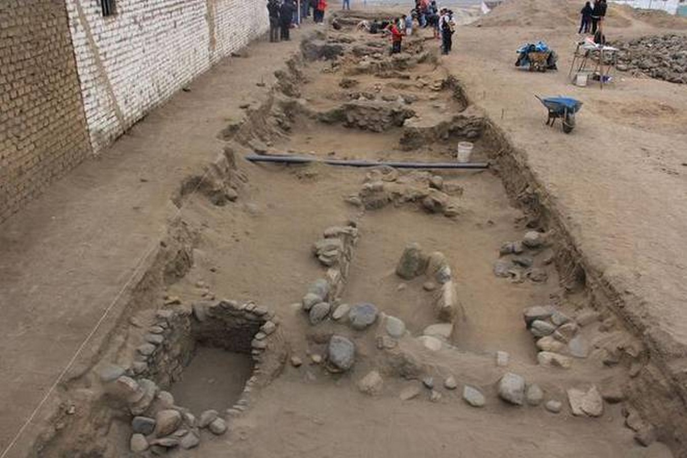
Vertical air photography and exploratory aerial survey through oblique photography are seen as primary methods to document archaeological sites cost-effectively. But these processes come with the problem of subjectivity on the part of the surveyor. The surveyor records what he thinks is archaeologically or historically significant. This issue can be minimized using ‘satellite imagery’. The level of detail is extremely high and remote sensing enables archaeologists to access remote locations. Other methods used for local level and micro-level data surface collection or field survey, geophysics, test-excavation, and ultimately, airborne scanning using multispectral and LiDAR data. To handle territorial data acquired with the help of these methods, it is necessary to link it to an established system of geographical coordinates. Mapping using archaeological GIS ensures a better narration of the local history and a more appropriate geo-visualization of the site. Georeferencing and graphical representation of the remotely-sensed data happen to be the start of archaeological mapping. The real struggle – as said by archaeologists – begins with this!
Real sense to these ‘images’ is given by an archaeologist – measurements, physical parameters, and interpretation of data after multiple iterations of the elements identified in the images. Here starts the most critical phase of archaeological research, wherein subjectivity is the only factor responsible for anomalies. A jigsaw puzzle with each piece delivering particular information, but when placed together deliver the information that one seeks. But what works best in minimizing anomalies is by overlapping multiple layers of information, acquired at scales ranging from macro to micro. Thus, an inclusive technique that builds over linkages among archaeological mapping using data at numerous scales shall improve the visibility of archaeological sites.
Another approach to improve visibility of sites is by considering the complexity like survey design for visibility and the analysis of the results at multiple levels, namely (Gruškovnjak, 2019)–
(1) Visibility determined by geomorphic, paedogenic and other post-depositional formation processes
(2) Visibility determined by the nature of the archaeological record
(3) Visibility determined by techniques and strategies of the survey method
(4) Visibility determined by surface and other environmental conditions during the survey
(5) Visibility determined by the human factor
Each level shall have biases and one should strive towards minimizing them by incorporating a methodological procedure of survey designs. During fieldwork, in-depth documentation of soil matrix, micro-topography, and other environmental and geomorphological variables are required. Since the surface survey is an inherently biased method, more than one survey method must be adopted to minimize the errors. It is also crucial to realize that surface survey is not a discovery method, but merely a survey that exposes archaeological records, their absence, and presence. Thus, it is inappropriate to rely on a surface survey to obtain results related to the extent of distribution of archaeological remains and the features of the landscape that once existed. Also, loss of information during the investigation is common and therefore, necessary prerequisite while laying out the information. Survey results are always accompanied by biases, but it is up to the archaeologist to quantify the data in a manner that does not invalidate the data but at the same time speak volumes about the visibility of the site, integrity of the record, and preservation of the landscape.