Precise documentation forms the basis for successful architectural renovations, property management, and interior design. With the advent of 3D scanning, spatial documentation methods have become more sophisticated, enabling building operators and project planners to create highly detailed and up-to-date digital representations of physical spaces. Working from consistent, verified spatial data can reduce costly onsite mistakes, and all stakeholders can operate from the same set of measurements. This uniformity in data benefits a variety of sectors, including retail and hospitality, as it supports the coordination of refits, routine maintenance, and space optimization, while reducing the number of structural misalignments or discrepancies encountered during projects.
Why accurate building data matters for your projects
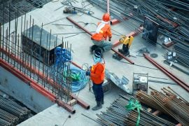
Construction and building management projects call for exact, dependable measurements across every room and structural component. Even small inconsistencies in floor plans or measurement errors can cause cumulative delays and unexpected expenditures during project execution. Modern laser and optical scanning methods capture the visible surfaces of an environment in detail, producing digital records that serve as a baseline for decision-making, future updates, and collaboration between relevant parties.
Access to standardized spatial records helps facilitate smooth exchanges of information among architects, contractors, facility managers, and property owners. When managing a renovation in stages or evaluating potential structural updates, up-to-date building data becomes a valuable resource for keeping schedules on track and minimizing surprises. By commissioning a laser scanning service, stakeholders can base evaluations on current, measurable site data instead of outdated blueprints or guesswork. The scan also leaves a documented record that each subsequent project stage can reference.
What to consider in a 3D scanning solution
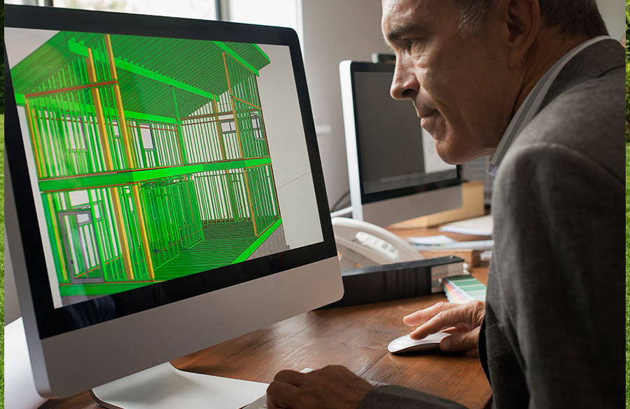
Selecting the right scanning method begins with understanding the site’s size, complexity, and project requirements. Considerations also include the anticipated data turnaround, the type of output (such as point clouds or fully rendered 3D models), and how easily these files can be connected to established CAD and BIM platforms. Many modern platforms also offer digital twin features, giving users the flexibility to navigate and review spatial data using remote, web-based viewers. For roofs, facades and larger outdoor sites, drone photogrammetry is another option. It builds geometry from overlapping photographs and therefore depends on light and visible surface texture, whereas a laser scanner measures with its own emitted light and is the usual choice for interiors that need millimeter detail.
It is important to ensure that data capture practices are well-defined, clearly stating how information is collected, validated, and maintained for future use. Minimizing disruption to daily business activities during the scanning process should be a guiding requirement for any project. Evaluating these parameters helps align the scanning approach with project schedules, deliverable formats and resource allocations.
Practical uses for 3D scans in various industries
Commercial retail organizations often rely on 3D spatial data to create consistent floor plans, optimize product placement, and validate renovations across multiple branches. In the hospitality sector, digital representations of properties enable managers to organize upgrades, manage facility maintenance across expansive premises, and plan for high-traffic events or seasonal layout changes. In Copenhagen, for example, Scanning Partner describes a project at the Scandic Palace Hotel, where it scanned selected hotel areas and supplied 2D and 3D as-built drawings to the architects, interior designers and contractors involved. Building and facility managers use 3D scans to verify compliance with regulatory safety requirements, optimize desk spacing, and streamline management of technical infrastructure.
Having up-to-date, dimensionally accurate digital models enables earlier identification of errors that could otherwise lead to conflicts during planning, fabrication, or installation. Shared digital records also make collaboration between project participants easier and reduce the risks tied to incomplete or inaccurate traditional documentation.