Most cities do not build traffic monitoring systems from scratch. They inherit a mix of aging equipment, add to it when budget allows, and replace parts as they fail.
That makes planning harder than it looks. The conversation usually starts with which camera to buy, when it should start with which problem needs solving.
This guide walks through how a deployment actually comes together. It covers what the infrastructure includes, how to scope it, what site conditions will dictate, and how to tell whether it worked.
What Urban Traffic Monitoring Infrastructure Actually Includes
The roadside layer
Cameras, sensors, detection loops and roadside cabinets sit at the edge of the network. This is the part most people picture.
It is also the smallest share of the total cost. Installation, connectivity and ongoing maintenance usually account for far more than the devices themselves.
The transport layer
This is how footage and data travel from the roadside to wherever they get processed. The main options are fiber, fixed wireless and cellular.
The choice here constrains everything downstream. A site on cellular backhaul cannot stream the same volume of high-resolution video as a site on fiber, so the connectivity decision quietly caps the camera decision.
The back end
Video management software, storage, analytics, and the traffic operations center make up the final layer. This is where operators work and where raw footage turns into something usable.
One design choice matters more than the rest, which is whether analytics run on the camera or in a central system. That used to be settled by default. It is now a real decision with cost and latency consequences.
Define the Problem Before Choosing Hardware
Start with the goal, not the catalog
Cities usually want one of a few things. Less congestion, faster incident response, safer pedestrian crossings, better enforcement, or reliable data to justify future road projects. Monitoring rarely does that work alone, and it usually sits alongside the wider set of traffic congestion solutions a city already has running, from adaptive signal timing to pedestrian flow tracking.
Each goal points to different placement and different retention rules. A camera positioned to count vehicles for a planning study does not belong in the same spot as one watching for stalled vehicles.
Get a baseline first
Without a before picture, there is no way to prove the system worked. Existing traffic counts, incident logs, and resident complaint records are usually enough to build one.
This step gets skipped often. It costs cities later, when they have to defend the spend at budget time.
Match Camera Types to Road Conditions
 No single device covers every scenario, which is why most city surveillance cameras are specified location by location rather than bought as a uniform fleet. A junction with heavy foot traffic has almost nothing in common with an unlit tunnel approach.
Fixed cameras for known problem points
These work best where the field of view will not change. Intersections, crossings and known bottlenecks suit them well.
They are simpler, cheaper and easier to maintain than moving alternatives.
Multi-sensor and PTZ for wider coverage
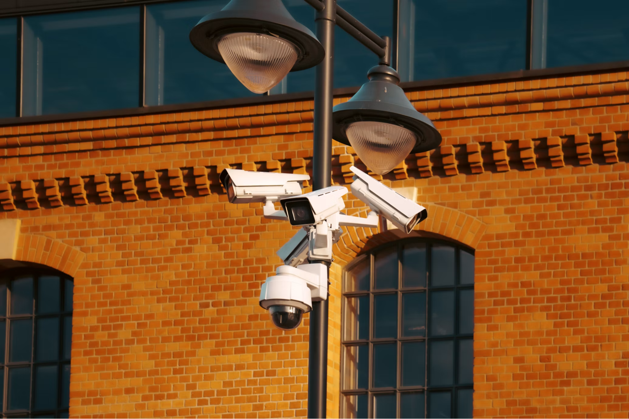
Multi-sensor units cover several fields of view from one mounting point using a single data link. That matters when pole space or permissions are limited.
PTZ cameras suit operator-driven follow-up rather than passive recording. Someone has to be watching for them to earn their place.
License plate recognition
LPR reads plates within a defined range of speeds and angles. It performs well inside those limits and poorly outside them.
Vehicle classification is often more useful for planning work. Knowing the split between cars, trucks, buses and bicycles on a corridor informs decisions that plate data cannot.
Low light and difficult weather
Thermal and infrared options handle tunnels, underpasses and unlit corridors. Spec sheets are measured in ideal conditions, so a short field trial at the actual site is worth the delay.
Power, Connectivity and Mounting Realities
Pole access takes longer than expected
Utility pole agreements and right-of-way approvals are usually the longest item on the timeline. They are also the least predictable.
When pole access is refused, existing city assets can work instead. Signal masts, light columns and building facades are all viable with the right permissions.
Power options
A grid connection is simplest where one already exists. Power over Ethernet works well within its distance limits, and solar covers remote points where trenching is not realistic.
Bandwidth costs add up
Resolution and frame rate decisions cascade straight into recurring network bills. A specification that looks affordable per camera can become expensive across a hundred sites.
Work out the bandwidth requirement before selecting devices.
Handle the Data Responsibly
 Retention policy and storage cost
Storage need is bitrate multiplied by retention time, so image quality and retention length both scale the bill directly. Retention is usually the easier of the two to adjust once a system is live.
Publish the policy before rollout
A deployment map and a written data policy released ahead of installation build more public trust than the same documents released afterwards. Existing public consultation sessions on infrastructure work offer a natural venue.
Access controls and redaction processes should be ready before the first footage request arrives, not designed in response to it.
Treat cameras as network endpoints
Networked devices belong inside the city’s wider cybersecurity posture. Firmware update paths, device certificates and vendor disclosure practices all deserve scrutiny during procurement.
Measure Whether It Worked
Tie metrics back to the original goal
Useful measures include response time to detected incidents, throughput at monitored junctions, injury collision counts and enforcement accuracy rates.
Pick these at the planning stage. Choosing them afterwards tends to produce numbers that flatter the project.
Review on a schedule
Quarterly reviews through the first year, then annually, works for most deployments. Cameras installed for one purpose frequently prove more valuable for another, and regular review is what catches that. The same habit applies to off-street municipal sites, where parking lot safety depends on layouts that quietly drift away from their original design.
Conclusion
The hardware is the straightforward part. Permissions, power, bandwidth, and policy are where deployments actually stall.
Cities that start from a defined problem and a measured baseline end up with systems people use every day. Cities that start from a product catalog end up with equipment nobody is sure what to do with.
Start small, measure honestly, and expand into what works.
Frequently Asked Questions
How long does a city traffic monitoring deployment usually take?
It depends far more on approvals than on installation. Scoping and procurement can move quickly, but pole agreements and right-of-way permissions are unpredictable and often set the timeline. Physical installation is usually the shortest phase.
What is the difference between traffic monitoring and traffic enforcement?
Monitoring is data collection and situational awareness. Enforcement requires certified equipment, defined accuracy standards, and a legal framework behind it, so it carries obligations that general monitoring does not.
Should video be processed on the camera or in a central system?
Processing on the camera reduces bandwidth use and cuts latency for real-time alerts. Central processing gives more flexibility to change or upgrade analytics later. Most cities end up with a mix, deciding site by site based on connectivity.
How much storage does a monitoring network need?
There is no fixed answer. Storage equals bitrate multiplied by retention time, so resolution, frame rate, retention length, and camera count all scale it directly. Setting the retention policy first makes the rest of the calculation straightforward.