Any successful construction project starts with a careful appreciation of the terrain, environment and infrastructure. Conventional on-site assessments can be very time consuming, entail logistical challenges, and escalate the cost of projects. Digital mapping tools are being utilized by planners and developers today to have a quicker and more complete insight into potential sites.
Exploring the Power of OS StreetView
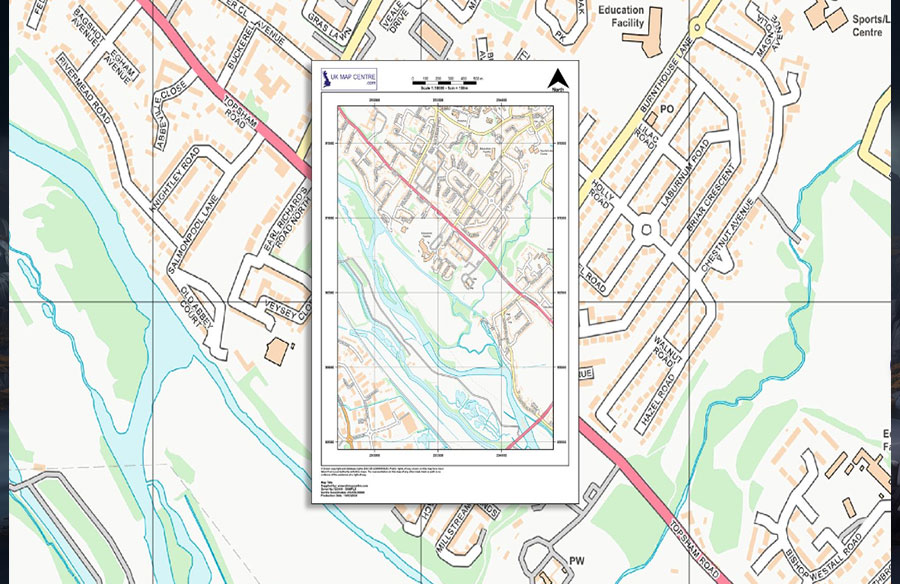
The OS StreetView map is an effective tool that allows planners to survey the environment without visiting the site. Professionals are able to view roads, boundaries, vegetation, and other developments surrounding them accurately with the help of detailed panoramic imagery. This tool provides a realistic image record of the landscape, which enables planners to understand conditions, with amazing precision. Through remote inspection of the location, teams can predict difficulties and detect opportunities even before official surveys are conducted.
Enhanced Perspective for Strategic Planning
Detailed street-level images show minute details that are not easily seen in conventional maps. The use of land is determined by fences, tree lines, signage, and gradients. The designers are able to make an informed decision regarding access points, utilities, and the general layout of the site by having access to this information early. This foresight would aid in matching early ideas with reality to minimize the chances of expensive changes in the project schedule.
Improving Communication Across Teams
In cases where there are several stakeholders such as architects, engineers, contractors and environmental consultants, there must be a clear communication. Shared access to consistent imagery enables everyone to visualise the same environment, minimising misunderstandings. Remote visual evaluation also helps facilitate easier coordination of geographically dispersed teams, as all of them base their analysis on the same, up-to-date visual evidence.
Minimising Site Visits While Maintaining Accuracy
Physical site visits remain important, but repeated travel adds both cost and complexity. OS StreetView allows teams to perform much of their early research virtually. Instead of scheduling multiple visits, planners can review areas of interest online, narrowing their focus to the most relevant features. This efficiency reduces time spent on logistics while maintaining the precision required for reliable assessments.
Supporting Environmental and Safety Considerations
The evaluation of environmental sensitivity and the safety factor is a vital phase in the planning of a project. The street level image can be used to detect risks early, such as steep slopes and watercourses in the vicinity. It can also show vegetation patterns that can give an indication of drainage or soil conditions that can be used to guide sustainable design strategies. By having the visual context in real-time, the environmental consultants are able to make recommendations that are consistent with the regulatory standards and the integrity of the ecology.
Integrating OS StreetView with Other Data Sources
When combined with GIS layers, topographical data, and planning records, street-level imagery becomes even more valuable. By overlaying this information, developers can view how the built environment interacts with the wider landscape. Patterns of transport flow, boundary alignment, and land use become easier to interpret. This integration produces a comprehensive understanding of each site’s potential, strengthening decisions about layout and long-term development.
Encouraging Transparent Planning Decisions
Transparency fosters confidence among the developers, local government, and the local communities. Street-level imagery is a visual evidence that can be used to illustrate proposed changes. The stakeholders are able to analyze the surroundings as they are and assess the way the new structures will be integrated into the environment. Effective illustrations foster informed discussions, which decreases resistance and enhances the chances of planning approval.
Accelerating Early-Stage Project Development
Speed matters when competing for opportunities. Using imagery to conduct virtual surveys streamlines the earliest stages of design. With essential details visible instantly, feasibility studies can progress faster. This acceleration allows teams to focus more energy on refining design solutions rather than on repetitive fieldwork.
A Smarter Way to Assess Sites
Remote visual technology has changed the way construction professionals analyze potential locations. OS StreetView offers a realistic, data-rich view that assists in strategic planning all the way through. It enables planners and developers to create projects that are efficient, informed and responsive to the environment by balancing accessibility with precision: closing the gap between imagination and reality.