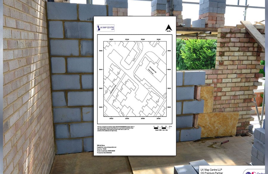
Engineering is based on reliable data. In the absence of a proper representation of the terrain, chances are high that there will be delays or safety concerns or even design failures. Maps offer that basic structure, whereby professionals are able to evaluate land characteristics, ownership, and pre-planning of the available infrastructure, before any ground is broken. Instruments like an OS 1:500 block plan can be critical references, providing sophisticated site information which can be used in the initial stages of construction to assist decision-making.
Topographical Maps: Understanding the Landscape
Topographical maps show the physical form of the Earth. Contours of elevation, slope and terrain variations are also well defined, and engineers can visualise the slopes and other natural obstructions. Roads, bridges, and drainage system placement are based on this information. Slopes, depressions and rough terrain stand out, and planners can design around these areas, offering viable mitigation measures to eliminate risk and costly reworks.
Role in Design and Construction
Such maps are used by design teams to compute earthworks, design cut-and-fill operations, and evaluate flood hazards. To be safe and efficient way before the construction even starts, engineers use the topographical data in computer models to simulate the possibilities of what might happen, therefore, creating certainty.
Cadastral Maps: Legal Boundaries and Ownership
Large projects are very important in land ownership and the identification of boundaries. Cadastral maps emphasise land parcels, land divisions, property boundaries, and access rights. In its absence, the conflict can result in the delay of the work and the augmentation of the legal expenses. Cadastral mapping is used by engineers and surveyors to verify approvals and establish the boundaries of the work and rights-of-way to future infrastructure.
Applications in Civil Projects
Utility corridors, housing developments, and transport routes must all respect property lines. Clear cadastral mapping prevents encroachment on neighbouring land and ensures compliance with planning regulations.
Utility Maps: Hidden Infrastructure Below Ground
Beneath the surface lies a complex network of pipes, cables, and conduits that require careful consideration. Utility maps display the location of water mains, sewers, electricity lines, and communication networks. Without these, excavation risks damaging vital infrastructure, causing safety hazards and expensive repairs.
Importance for Engineers and Contractors
Before digging begins, utility maps guide machinery placement, identify safe excavation zones, and protect workers. Civil projects such as roadworks or new housing developments depend on this knowledge to avoid service disruption and ensure regulatory compliance.
Integrating Multiple Map Types
No map can give all the information needed. Usually, engineers merge topographical, cadastral and utility information to create an entire site image. When these resources are overlapped with digital platforms like Geographic Information Systems (GIS), this allows teams to visualise the relationship between surface conditions, legal boundaries and the underground infrastructure.
Digital Advances in Mapping
Digital mapping technologies are becoming more widely used in modern civil engineering. The detail included in satellite imagery, LiDAR scanning and 3D modelling is too much to be provided by traditional maps. Combining these tools with the already existing map types enables engineers to be more accurate and to simplify the planning process, and to help reduce uncertainty at all levels of a project.
Maps as Essential Engineering Tools
Map-based civil engineering projects are very important in understanding terrain, property rights, and secret networks. Land is used efficiently through topographical charts, ownership is clear through cadastres maps and vital services are secured using utility diagrams. This integration of these resources ensures that engineers minimise risks, improve efficiency, and keep projects accurate. Detailed mapping is not a background process, but rather a foundation on which all successful structures established are supported.